- Dnieper-Bug Estuary
-
Dnieper-Bug Estuary 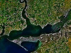
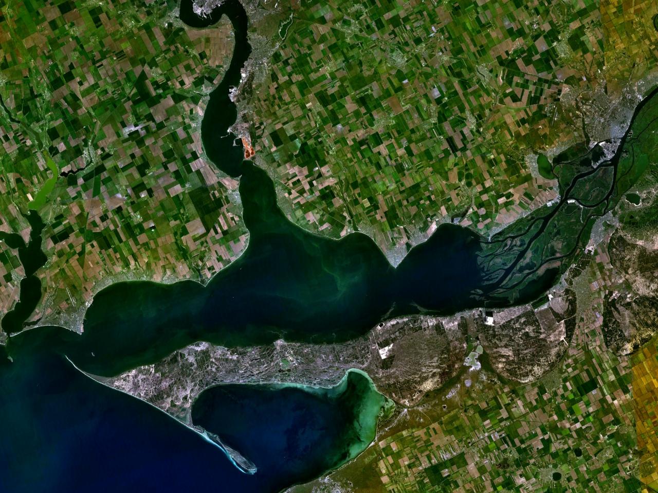
Satellite view of the Dnieper-Bug Estuary Location Ukraine Coordinates 46°37′N 31°57′E / 46.617°N 31.95°ECoordinates: 46°37′N 31°57′E / 46.617°N 31.95°E Lake type estuary Primary inflows Dnieper, Southern Bug Basin countries Ukraine Max. length 63 km Max. width 17 km Average depth 4-6 m Max. depth 12 m Settlements Ochakiv, Mykolaiv Dnieper-Bug Estuary (Ukrainian: Дніпровсько-Бузький лиман) is an open estuary, or liman, of two rivers: Dnieper and Southern Bug. Located in the northern coast of the Black Sea. The most important port is Ochakiv.
The water body includes two parts: more wide Dnieper Estuary (55 km long, up to 17 km wide), and narrow Bug Estuary (47 km long, from 5 to 11 km wide). Average depth 6–7 m, maximal is 12 m.
The estuary has transport, recreation, and fisheries importance.
Categories:- Geography of Ukraine
- Estuaries of Ukraine
- Estuaries of the Black Sea
- Bays of Ukraine
- Dnieper-Bug Estuary
- Ukraine geography stubs
Wikimedia Foundation. 2010.