Dnieper Estuary

Dnieper Estuary
Dnieper Estuary
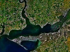
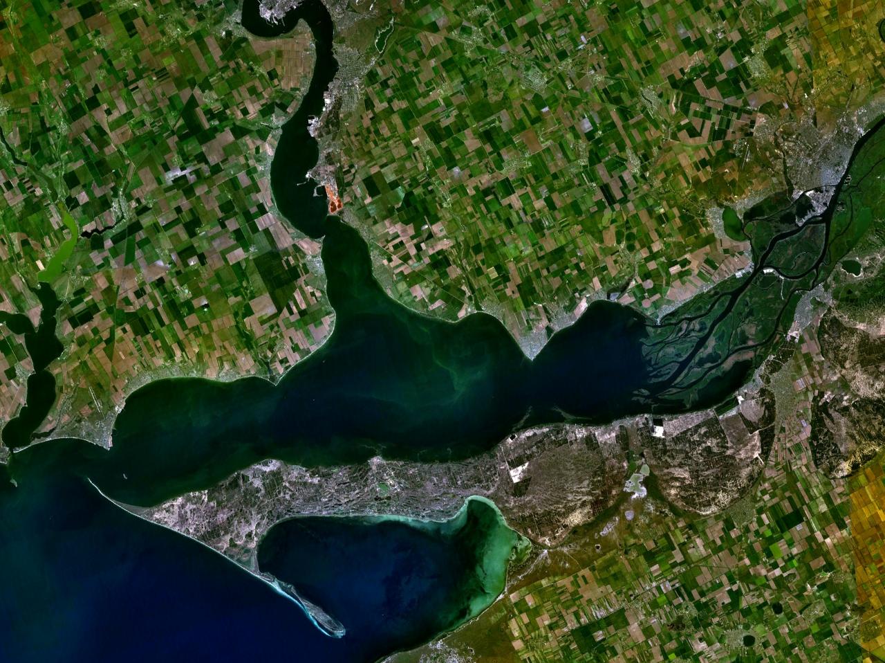
Satellite view of the Dnieper Estuary
Location Ukraine
Coordinates 46°34′N 31°57′E / 46.567°N 31.95°E / 46.567; 31.95Coordinates: 46°34′N 31°57′E / 46.567°N 31.95°E / 46.567; 31.95
Lake type estuary
Primary inflows Dnieper
Basin countries Ukraine
Max. length 55 km
Max. width 17 km
Average depth 6-7 m
Max. depth 12 m
Settlements Ochakiv

Dnieper Estuary, or Dnieper Liman (Ukrainian: Дніпровський лиман), is an open oligohaline estuary in the northern part of the Black Sea, in the southern Ukraine. Main port of the water body is Ochakiv. The estuary has 55 km long, 17 km wide. Average depth 6-7 m, maximal 12 m (Stanislav hole).

The estuary is connected to the Black Sea by the 3.6-km wide strait (between Ochakiv Cape and Kinburn split). Southern coast of the estuary is low, sandy; northern is mainly high (ip to 20-35 m).

The Dnieper estuary, together with the Bug Estuary, makes Dnieper-Bug Estuary.


Wikimedia Foundation. 2010.

Игры ⚽ Нужно сделать НИР?

Look at other dictionaries:

  • Dnieper-Bug Estuary — Satellite view of the Dnieper Bug Estuary Location Ukraine Coordinates …   Wikipedia

  • Dnieper River — Russian Dnepr ancient Borysthenes. River, eastern central Europe. One of the longest rivers in Europe, it rises west of Moscow and flows south through Belarus and Ukraine, emptying into the Black Sea after a course of 1,420 mi (2,285 km). More… …   Universalium

  • Dnieper River — For other uses, see Dnieper (disambiguation) . Coordinates: 46°30′00″N 32°20′00″E / 46.5°N 32.3333333°E / 46.5; 32.3333333 …   Wikipedia

  • Trade route from the Varangians to the Greeks — Ships on the Dnieper, by Nicholas Roerich. The trade route from the Varangians to the Greeks (Russian: Путь «из варяг в греки», Put iz varyag v greki, Swedish: Vägen från varjagerna till grekerna, Greek: Εμπορική Οδός Βαράγγων Ελλήνων) w …   Wikipedia

  • Kinburn — can mean the following: Places: *Kinburn Peninsula (Kinburnska Kosa) in Ukraine, on the Black Sea, forming the south shore of the Dnieper river estuary. In the 18th and 19th centuries the western tip of that peninsula was guarded by the:… …   Wikipedia

  • Bug — geographical name 1. river over 450 miles (720 kilometers) central Europe rising in W Ukraine, forming part of Ukraine Poland and Poland Belarus borders, & flowing into the Vistula in Poland 2. river over 500 miles (805 kilometers) SW Ukraine… …   New Collegiate Dictionary

  • Crimean War — For other uses, see Crimean War (disambiguation). Crimean War Part of Ottoman wars in Europe Detail of …   Wikipedia

  • Bug — /bug/; Pol., Russ. /boohk/, n. 1. a river in E central Europe, rising in W Ukraine and forming part of the boundary between Poland and Ukraine, flowing NW to the Vistula River in Poland. 450 mi. (725 km) long. 2. a river in SW Ukraine flowing SE… …   Universalium

  • Bug — noun a) the Bug River, flowing northwest 450 mi. between Belarus and Poland. b) the Bug River in the Ukraine, flowing 530 mi. to the Dnieper estuary. Syn: Buh …   Wiktionary

  • Bug — [[t]bug, buk[/t]] n. 1) geg a river in E central Europe, rising in W Ukraine and forming part of the boundary between Poland and Ukraine, flowing NW to the Vistula in Poland. 450 mi. (725 km) long 2) geg a river in SW Ukraine, flowing SE to the… …   From formal English to slang

Share the article and excerpts

Direct link
Do a right-click on the link above
and select “Copy Link”