- Din Daeng District
-
Din Daeng
ดินแดง— Khet — Khet location in Bangkok
Coordinates: 13°46′11″N 100°33′10″E / 13.76972°N 100.55278°ECoordinates: 13°46′11″N 100°33′10″E / 13.76972°N 100.55278°E Country  Thailand
Province Bangkok Seat Din Daeng Khwaeng 1 Khet established January 14, 1994 Area - Total 8.4 km2 (3.2 sq mi) Population (2000) - Total 186,319 - Density 22,180/km2 (57,445.9/sq mi) Time zone THA (UTC+7) Postal code 10400 Geocode 1026 Din Daeng (Thai: ดินแดง; IPA: [dīn dɛ̄ːŋ]) is one of the 50 districts (Khet) of Bangkok, Thailand. Its neighbor, clockwise from north, are Chatuchak, Huai Khwang, Ratchathewi and Phaya Thai.
Contents
History
The district was created in 1993, when the eastern part of Phaya Thai was split off to form a new district.
The district is highly populated partly due to the concentration of apartments built for people by National Housing Authority. They are located along Din Daeng Road and Pracha Songkhro Road.
Administration
The district is sub-divided into one sub-district (Khwaeng).
1. Din Daeng ดินแดง Shopping
- Fortune Town, an IT shopping mall
- Esplanade Bangkok, shopping mall and entertainment complex
Transportation
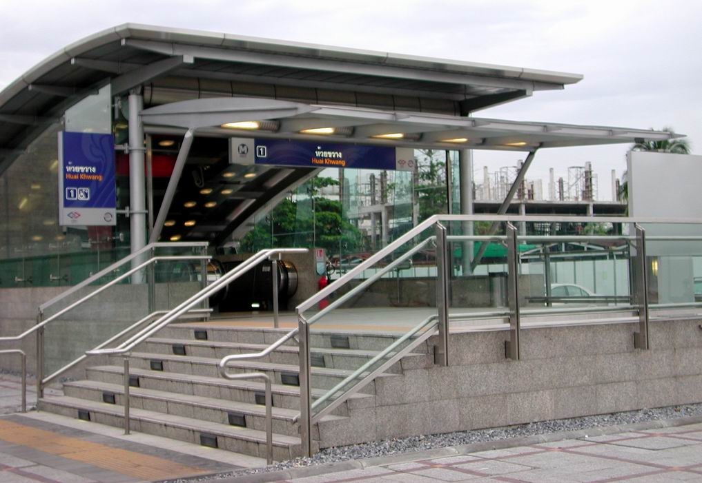
 The entrance to Huai Khwang station
The Bangkok Metro passes along Din Daeng eastern border (touching Huai Khwang) with five stations: Phra Ram 9, Thailand Cultural Centre, Huai Khwang, Sutthisan, and Ratchadaphisek.
External links
- Official website of the district (Thai only)
- BMA website with the touristical landmarks of Din Daeng
Districts (khet) of Bangkok West of the
Chao PhrayaBang Bon · Bang Khae · Bang Khun Thian · Bangkok Noi · Bangkok Yai · Bang Phlat · Chom Thong · Khlong San · Nong Khaem · Phasi Charoen · Rat Burana · Taling Chan · Thawi Watthana · Thon Buri · Thung Khru
East of the
Chao PhrayaBang Kapi · Bang Khen · Bang Kho Laem · Bang Na · Bang Rak · Bang Sue · Bueng Kum · Chatuchak · Din Daeng · Don Mueang · Dusit · Huai Khwang · Khan Na Yao · Khlong Sam Wa · Khlong Toei · Lak Si · Lat Krabang · Lat Phrao · Min Buri · Nong Chok · Pathum Wan · Phaya Thai · Phra Khanong · Phra Nakhon · Pom Prap Sattru Phai · Prawet · Ratchathewi · Samphanthawong · Sai Mai · Saphan Sung · Sathon · Suan Luang · Wang Thonglang · Watthana · Yan Nawa
Categories:- Districts of Bangkok
- Bangkok stubs


Wikimedia Foundation. 2010.