- Dherynia
-
Dherynia Δερύνεια (Greek) Derinya (Turkish) 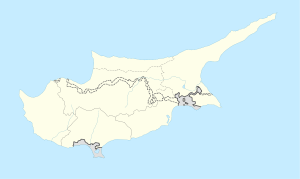
 Dherynia
Coordinates: 35°03′20″N 33°57′25″E / 35.05556°N 33.95694°E  Cyprus
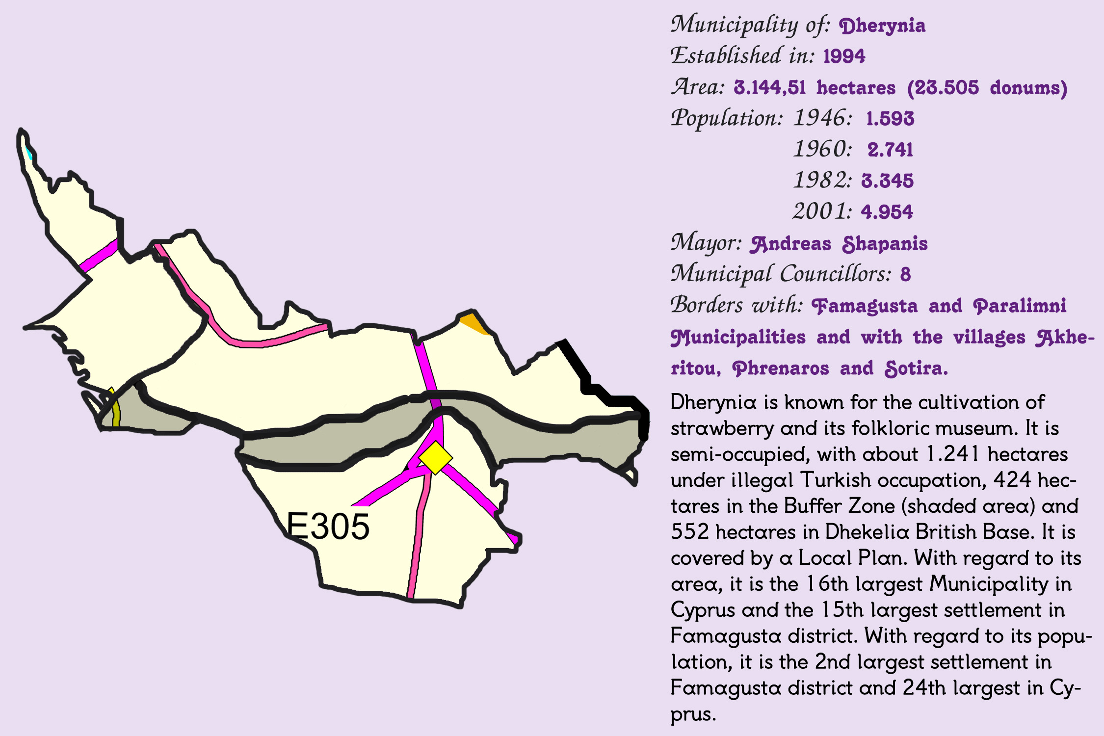
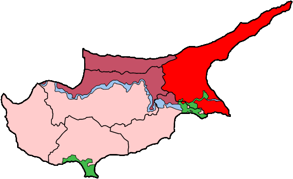
District Famagusta Government - Mayor Antreas Siapanis Population (2007) - Total 7,500 Time zone EET (UTC+2) - Summer (DST) EEST (UTC) Postal code 538 Website http://www.deryneia.com Dherynia (Greek: Δερύνεια, Turkish Derinya) is a large village in the island of Cyprus. It is located at the east side of the island, 2 km (1 mi) south of the city of Famagusta (Coordinates: 35°03′N 33°57′E). In 2007, the village had a population of approximately 7,500 inhabitants and it consists a municipality since 1994. Current mayor is Antreas Shiapanis. Since 1974, around 75% of the village terrain is occupied by the Turkish army, as well as the 37% of Cyprus and the whole of Famagusta town. The village is 12 kilometers from the famous resort of Ayia Napa. The 'Ghost Town' of Famagusta (more accurately Varosha)can be clearly viewed from the roof of the Cultural Centre, as can the craters from shells fired during the invasion in the field opposite.
The village has agricultural land around it, and is one of the 'Kokkinochoria' (red villages) so called from the red soil. Potatoes are widely grown but the Dherynia is famous for its strawberries and holds a biennial 'Strawberry Festival' - the next due in May, 2012.
Mayors
- 1994 - 2001, Flora Ioannou
- 2001 - current, Antreas Shiapanis
Gallery
-

Concise presentation of Dherynia
-

Dherynia and surrounding area
Sources
- Dherynia Municipality official website
Settlements Acheritou • Akhna • Aphania • Ayia Napa • Ayia Trias • Ayios Andronikos (Topsiou Keuy) • Ayios Andronikos) • Ayios Efstathios • Ayios Elias • Ayios Iakovos • Ayios Khariton • Ayios Nikolaos • Ayios Nikolaos, SBA • Ayios Seryios • Ayios Symeon • Ayios Theodhoros • Ayios Yeoryios • Akanthou • Aloda • Angastina • Ardana • Arnadi • Artemi • Askeia • Avgolida • Avgorou • Bogazi • Chatos • Davlos • Dherynia • Enkomi • Eptakomi • Famagusta • Flamoudi • Frenaros • Gaidouras • Galateia • Galinoporni • Gastria • Genagra • Gerani • Yialousa • Goufes • Gypsou • Kalopsida • Kiados • Knodara • Koilanemos • Koma tou Gialou • Komi Kebir • Kontea • Kornokipos • Koroveia • Kouklia • Krideia • Lapathos • Lefkoniko • Leonarisso • Limnia • Liopetri • Livadia • Lysi • Lythrangomi • Makrasyka • Mandres • Maratha • Marathovounos • Melanagra • Melounta • Milia • Monarga • Mousoulita • Neta • Ovgoros • Paralimni • Patriki • Peristerona • Perivolia • Platani • Platanissos • Psyllatos • Pyrga • Rizokarpaso • Santalaris • Sinta • Sotira • Spathariko • Strongylos • Stylloi • Sygkrasi • Tavros • Trikomo • Trypimeni • Varosha • Vasili • Vathylakas • Vatili • Vitsada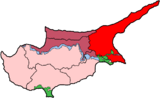
Coordinates: 35°01′N 33°25′E / 35.017°N 33.417°E
Categories:- Populated places in Famagusta District
- Cyprus geography stubs


Wikimedia Foundation. 2010.