- D55 road (Croatia)
-
D55 state road
Route information Length: 48.6 km (30.2 mi) Major junctions From:  D2 in Borovo (Vukovar)
 D46 in Vinkovci
 A3 at the Županja interchange
 D214 near Bošnjaci
To: Bosnia and Herzegovina border crossing (Route 18) Location Counties: Vukovar-Srijem Major cities: Vukovar, Vinkovci, Županja Highway system State roads in Croatia
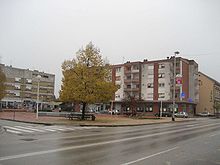
 Vinkovci, on the D55 route
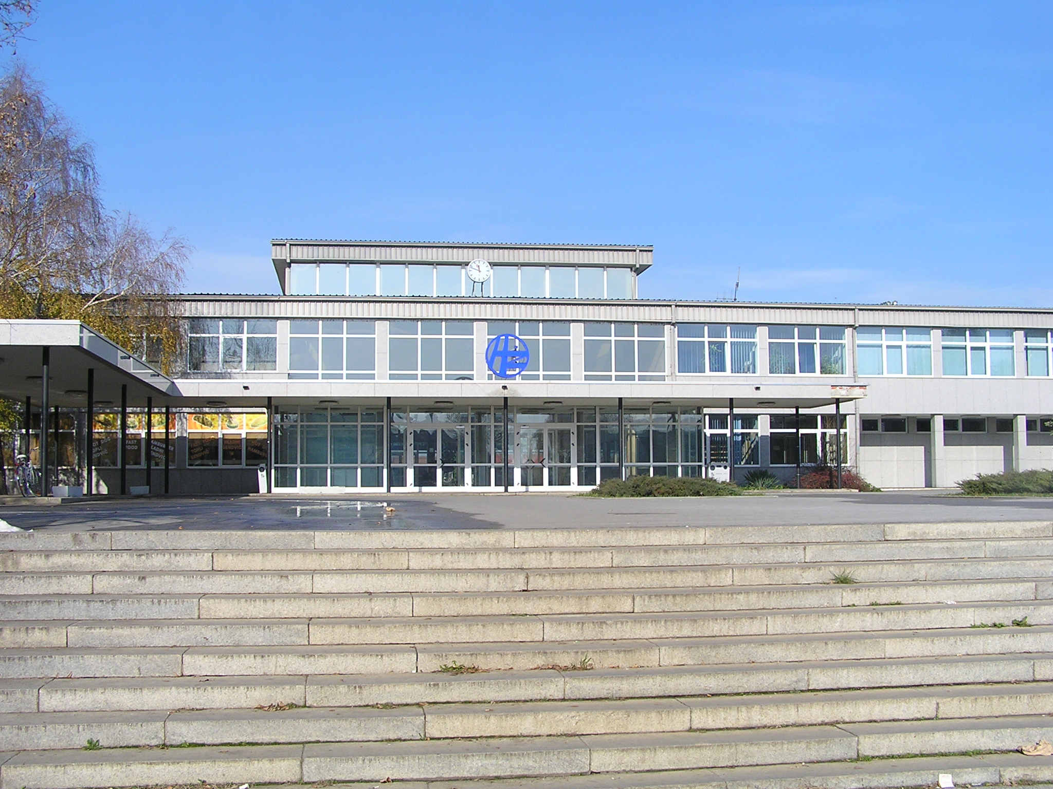
 Županja, on the D55 route
D55 state road in the eastern part of Croatia connects the cities and towns of Vukovar, Vinkovci, Županja to the state road network of Croatia, and most notably to the A3 motorway.[1] The road is 48.6 km (30.2 mi) long.[2] The route comprises some urban intersections, mostly in the city of Vinkovci.
The D55 state road intersects the Vukovar-Srijem County exactly through an area that connects the regions of Slavonia and Syrmia.
The road, as well as all other state roads in Croatia, is managed and maintained by Hrvatske ceste, state-owned company.[3]
Traffic volume
Traffic is regularly counted and reported by Hrvatske ceste, operator of the road.[4]
D55 traffic volume Road Counting site AADT ASDT Notes  D55
D553706 Nuštar 8,739 8,738 Adjacent to Ž4134 junction. D553710 Kunjevci 6,199 - Adjacent to Ž4192 junction. Estimate by Hrvatske ceste. D553719 Županja 5,495 6,781 The southernmost traffic counting site on the D55 road, adjacent to the border crossing. Road junctions and populated areas
D55 junctions/populated areas Type Slip roads/Notes 
Borovo (northwestern suburb of Vukovar)
D2 to Osijek (to the west) and to Ilok (to the east).
The northern terminus of the road.[5]Bršadin 
Ž4111 to Pačetin, Bobota and Vera Nuštar
Ž4134 to Ostrovo and Gaboš.
Ž4136 to Cerić.
Ž4137 to Bogdanovci.Vinkovci
D46 to Đakovo and Tovarnik.
Ž4136 to Cerić.
Ž4169 entirely within Vinkovci.
Ž4171 entirely within Vinkovci.
Ž4290 entirely within Vinkovci.Ž4290 to Vinkovci and D46 as a bypass road. Ž4192 to Rokovci. Ž4193 to Privlaka. Ž4222 to Gradište.  A3 in Županja interchange, to Slavonski Brod and Zagreb (to the west) and to Lipovac and Belgrade, Serbia (to the east).
Županja
D214 to Gunja and Brčko, Bosnia and Herzegovina.
Ž4170 to Gradište and Cerna.
Županja border crossing.
The southern terminus of the road.[6]
 Bosnia and Herzegovina route 18 to Orašje.
Sources
- ^ "Regulation on motorway markings, chainage, interchange/exit/rest area numbers and names" (in Croatian). Narodne novine. May 6, 2003. http://narodne-novine.nn.hr/clanci/sluzbeni/305463.html.
- ^ "Decision on categorization of public roads as state roads, county roads and local roads" (in Croatian). Narodne novine. February 17, 2010. http://narodne-novine.nn.hr/clanci/sluzbeni/2010_02_17_410.html.
- ^ "Public Roads Act" (in Croatian). Narodne novine. December 14, 2004. http://narodne-novine.nn.hr/clanci/sluzbeni/2004_12_180_3130.html.
- ^ "Traffic counting on the roadways of Croatia in 2009 - digest" (in English). Hrvatske ceste. May 1, 2010. http://www.hrvatske-ceste.hr/WEB%20-%20Legislativa/brojenje-prometa/CroDig2009.pdf.
- ^ 45°22′11″N 18°57′35″E / 45.369848°N 18.9596°E
- ^ 45°02′47″N 18°42′12″E / 45.046364°N 18.703405°E
Categories:- State roads in Croatia
- Vukovar-Syrmia County


Wikimedia Foundation. 2010.