- Cumborah, New South Wales
-
Cumborah
New South Wales
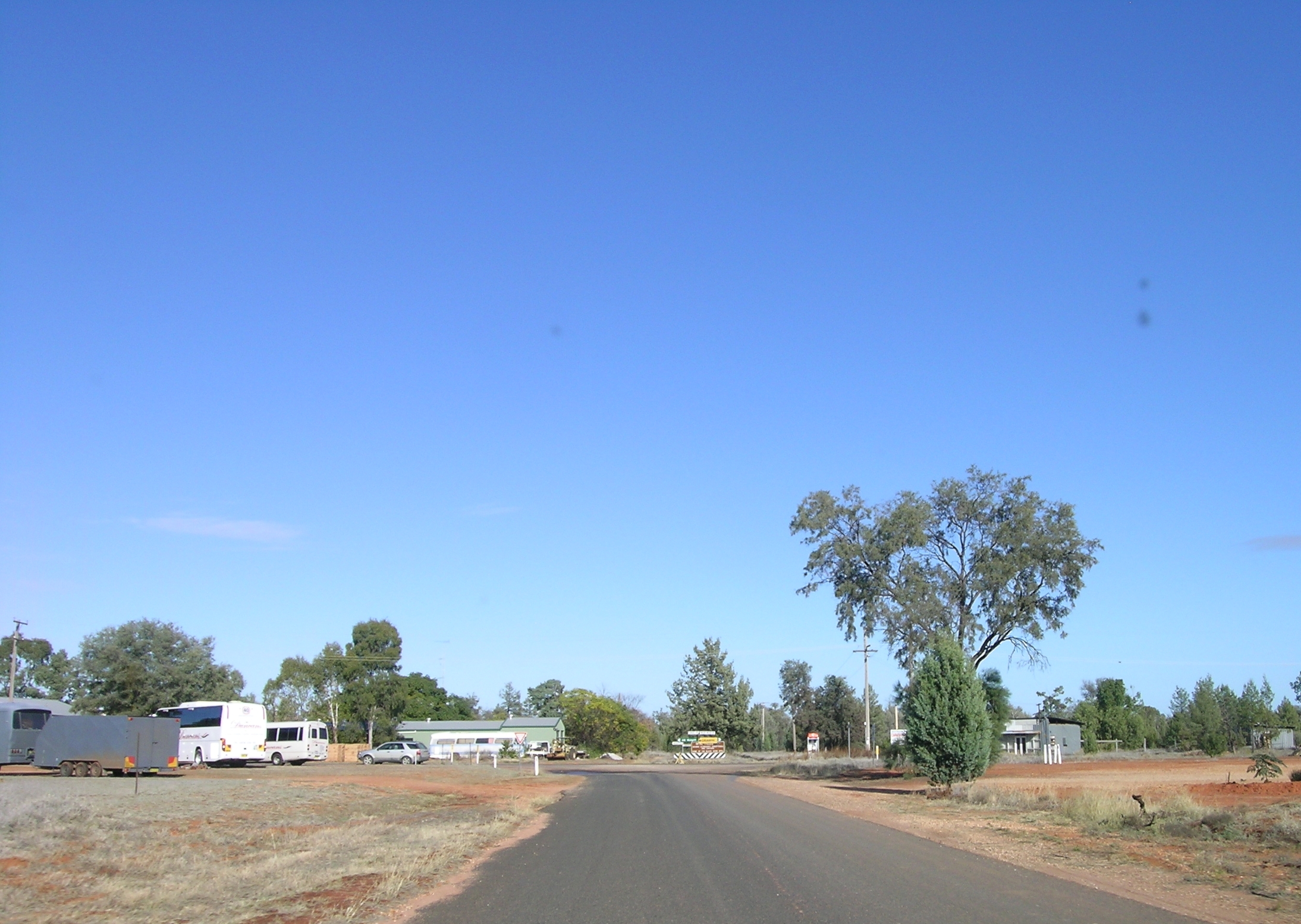
The main intersection in Cumborah.
 Cumborah
Population: 492 (2006 Census)[1] Established: 1896 Postcode: 2832 Elevation: 163 m (535 ft) Location: - 48 km (30 mi) NW of Walgett
- 50 km (31 mi) SW of Lightning Ridge
LGA: Walgett Shire County: Finch State District: Barwon Federal Division: Parkes Cumborah is a small rural village in north-western New South Wales, Australia, in Walgett Shire, near the opal fields of Lightning Ridge. Cumborah is about 36 km west of the Castlereagh Highway, and is served by the commercial centres of Lightning Ridge and Walgett which is 48 km to the south-east.
The road through Cumborah is main route to the nearby Glengarry, Grawin and Sheepyard opal fields. Other prospectors also search nearby for agate, fossils, petrified wood, topaz and other semi-precious stones. The village is almost surrounded by mulga and cypress scrubland.
Population
In the 2006 census Cumborah and the surrounding region had a population of 492 persons, 63.6% were males and 36.4% were females, including 33 indigenous persons and 386 persons born in Australia (78.5%). Their main form of employment was in sheep, beef cattle and grain farming (42.9%) followed by non-metallic mineral mining.[1]
History
In 1896 Cumborah was proclaimed a town and the local police station operated from 1898 until 1934. A small mail receiving office opened in 1892; this was upgraded to a post office in 1898 which was closed in 1963. The village had a provisional school from 1899 to 1903 and a public school from 1904 until 1943. A telephone office opened in 1901 and a manual exchange in 1912. By 1915 Cumborah had five telephone subscribers that could only contact Walgett or Dangar Bridge. From 1917 it was possible to telephone other local towns.
Early entertainment in Cumborah was provided by participating in or watching cricket, horseracing, sports days and tennis.[2]
In the 2006 Census there were 315 occupied private dwellings in Cumborah and the surrounding area: 80.0% were separate houses and 20.0% were other dwellings.[1]
References
- ^ a b c Australian Bureau of Statistics (25 October 2007). "Cumborah (Urban Centre/Locality)". 2006 Census QuickStats. http://www.censusdata.abs.gov.au/ABSNavigation/prenav/LocationSearch?collection=Census&period=2006&areacode=SSC16903&producttype=QuickStats&breadcrumb=PL&action=401. Retrieved 27 June 2011.
- ^ "Cumborah". Famous History of Walgett Shire. Walgett Shire Council. http://www.walgett.nsw.gov.au/about/1539/3064.html. Retrieved 27 June 2011.
Categories:- Towns in New South Wales

Wikimedia Foundation. 2010.