- Lightning Ridge, New South Wales
Infobox Australian Place | type = town
name = Lightning Ridge
state = New South Wales
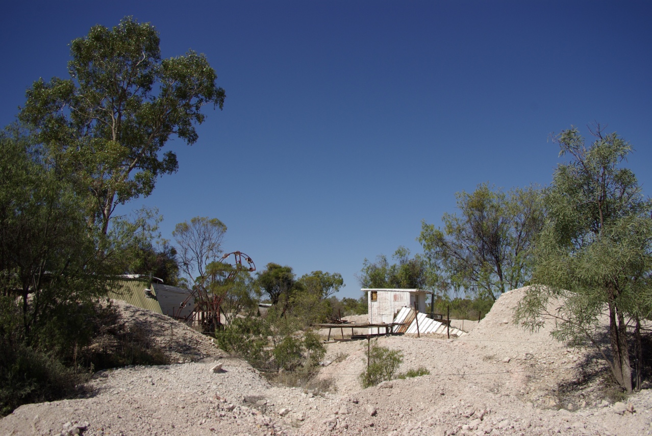
caption = Fossicking field in Lightning Ridge
lga = Walgett Shire
county = Finch
postcode = 2834
est =
pop = 1,826
elevation= 170
maxtemp =
mintemp =
rainfall =
stategov = Barwon
fedgov =
dist1 = 74
dir1 = N
location1= WalgettLightning Ridge is a town in north-western
New South Wales ,Australia , in Walgett Shire, near the southern border ofQueensland . Lightning Ridge is a world epicenter of the mining ofblack opal s and otheropal gemstones. Lightning Ridge has the largest known deposits of black opals in the world.ituation
Lightning Ridge is about six km east of the
Castlereagh Highway , and is served in commercial activities by the town of Walgett - some 75 km to the south. Lightning Ridge is a flourishing tourist town with numerous "caravan" (camper-trailer) and camping parks, the previously very rustic and contagious Diggers' Rest pub (which has burned down for the third time) and a well-appointed and vibrant bowling club with its eight artificial-grass bowling greens. Temperatures in summer can reach into the high 40s Celsius, but below ground the temperature remains at a pleasant and continual 22 degrees, year round.Population
In 2001 it had 1,826 persons, including 344 indigenous persons (18.8%) and 1,304 persons born in Australia (71.4%).Census 2001 AUS|id=UCL147800|name=Lightning Ridge (Urban Centre/Locality)|accessdate=2007-06-30|quick=on] The population is said to be highly variable as transient miners come and go over time. There is an official population indicator sign on the highway as you enter the town that says, "Lightning Ridge — population?". Prior to the 2004 Public Enquiry into the functioning of
Walgett Shire Council , it worked on the basis that there were about 7,000 people in the town, but the enquiry found that this estimate was given no support by the 2001 census and contrasted with the 1,109 people who voted in the town at the local government elections in 2004. [ cite web
last= Bulford
first=Robert
publisher =New South Wales Department of Local Government
title=Walgett Shire Council Public Enquiry
month= June | year= 2004
url = http://www.dlg.nsw.gov.au/dlg/dlghome/documents/Information/Walgett_Public_Inquiry_Report_31_May_2004.pdf
accessdate = 2006-11-14 (section 4.5)]Activities
Lightning Ridge hosts an annual Goat Race in the town's main street and a rodeo on the Easter long weekend. Goats are harnessed and driven by children, much like harness racing in equine sports. The Goat races are accompanied by wheelie-bin races, and horse races the following day.
Arts
Some artists settled in and around Lightning Ridge. One of the most famous local Australian painters is
John Murray who brings the impressions of theoutback , often in a situation with man or fauna onto the canvas.Fossicking
A fossicker's license is required to mine here and may be obtained from the
New South Wales Department of Mineral Resources.Other products produced around Lightning Ridge include wheat, wool, mutton, and beef.
Water
Lightning Ridge has abundant hot water from a bore spring into the
Great Artesian Basin and offers two hot water pools for bathing. The minerals make the water very healthy for external use and drinking. Public can tap mineral water at a hose in Harlequin Street. The Hot Artesian Bore Baths and Nettletons Shaft, on McDonald's Six Mile Opal Field have been placed on theRegister of the National Estate .Gallery
See also
*
Lightning Ridge Airport
*List of fossil sites "(with link directory)"References
External links
* [http://www.opalauctions.com/docs/articles/lightning-ridge-mining-photo-slideshow Lightning Ridge and Mining Photo Slideshow]
* [http://johnmurrayart.com.au/ John Murray's Art Gallery]
* [http://www.wj.com.au/index.html Lightning Ridge Information]
Wikimedia Foundation. 2010.