- Crook, Cumbria
-
Coordinates: 54°20′53″N 2°49′41″W / 54.348°N 2.828°W
Crook 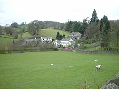
Crook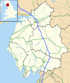
 Crook
Crook
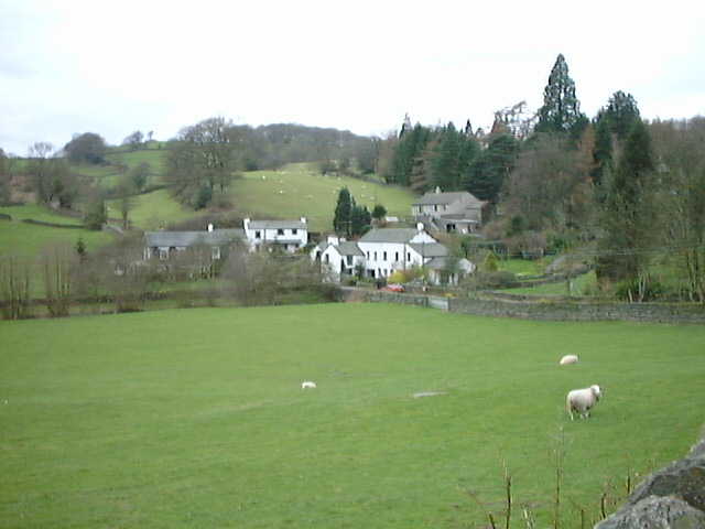
Crook shown within CumbriaPopulation 340 (2001) OS grid reference SD4695 Parish Crook District South Lakeland Shire county Cumbria Region North West Country England Sovereign state United Kingdom Post town KENDAL Postcode district LA8 Dialling code 015395 Police Cumbria Fire Cumbria Ambulance North West EU Parliament North West England UK Parliament Westmorland and Lonsdale List of places: UK • England • Cumbria Crook is a village and civil parish in the South Lakeland District of the English county of Cumbria, located on the B5284 road between Kendal and Windermere. In the 2001 census the population was 340.
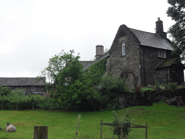
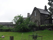 Hollin Hall
St. Catherine's church was built in the 1880s by Stephen Shaw, a local architect, in a plain late Perpendicular style. The tower of an earlier church, built about 1620, still stands nearby: the rest of the building was demolished in 1887 owing to structural defects.
A mile to the north of the village, Hollin Hall comprises a 14th century pele tower with crowstepped gable attached to later buildings.[1]
References
External links
Coordinates: 54°20′53″N 2°49′41″W / 54.348°N 2.828°W
Ceremonial county of Cumbria Cumbria Portal Boroughs or districts City of Carlisle • Borough of Allerdale • Borough of Barrow-in-Furness • Borough of Copeland • District of Eden • District of South LakelandMajor settlements Alston • Ambleside • Appleby-in-Westmorland • Aspatria • Barrow-in-Furness • Bowness-on-Windermere • Brampton • Broughton-in-Furness • Carlisle • Cleator Moor • Cockermouth • Dalton-in-Furness • Egremont • Grange-over-Sands • Harrington • Kendal • Keswick • Kirkby Lonsdale • Kirkby Stephen • Longtown • Maryport • Millom • Penrith • Sedbergh • Silloth • Ulverston • Whitehaven • Wigton • Windermere • Workington
See also: List of civil parishes in CumbriaTopics Demography • Economy • Education • Geography • History • People • Places of interest • Settlements • Sport • Symbols and county emblems • TransportCategories:- Cumbria geography stubs
- Civil parishes in Cumbria
- Villages in Cumbria

Wikimedia Foundation. 2010.