- Creil–Jeumont railway
-
Creil–Jeumont railway Overview System SNCF Status Operational Locale France (Picardy, Nord-Pas-de-Calais) Termini Gare de Creil
Gare de JeumontOperation Opened 1847-1855 Owner RFF Operator(s) SNCF Technical Line length 187 km (116 mi) No. of tracks Double track[1] Track gauge 1,435 mm (4 ft 8 1⁄2 in) Standard gauge Electrification 25 kV 50 Hz[2] Route map Legend
Line from Paris - Nord 


from Persan-Beaumont from Beauvais 
50.3 Creil 
51.0 to Lille 

52.9 Villers-Saint-Paul 55.6 Rieux-Angicourt 61.9 Pont-Sainte-Maxence 68.7 Chevrières 71.3 Longueil-Sainte-Marie 


to Ormoy-Villers 74.6 Le Meux-La Croix-Saint-Ouen 78.2 Jaux 83.2 from Montdidier 
83.6 Compiègne 

to Vic-sur-Aisne 87.1 Choisy-au-Bac 90.1 Longueil-Annel 91.8 Thourotte 96.8 Ribécourt 100.8 Ourscamps 107.0 Noyon 115.3 Appilly 123.3 Chauny to Saint-Gobain 126.1 Viry-Noureuil 

from Laon 130.9 Tergnier 135.4 Mennessis 
to Amiens 140.9 Montescourt to Origny-Sainte-Benoite 153.0 Saint-Quentin 170.1 Fresnoy-le-Grand 174.5 Bohain 180.4 Busigny to Cambrai 189.7 Le Cateau 196.5 Ors 201.4 Landrecies 207.0 Hachette from Charleville-Mézières 214.2 to Valenciennes 
215.6 Aulnoye-Aymeries 223.9 Hautmont 

from Bavay 

226.3 Sous-le-Bois Line to Mons (B) 227.3 Louvroil 228.4 Maubeuge to Cousolre 231.7 Les Bons-Pères 234.3 Recquignies 237.8 Jeumont 
239.6 29.3 border France/Belgium Line to Charleroi (B) The railway from Creil to Jeumont is an important French 187-kilometre long railway line, that connects Creil, a northern suburb of Paris, to Jeumont on the Belgian border. It was opened in several stages between 1847 and 1855.[3] The opening of the LGV Nord high speed line from Paris to Lille in 1993 has decreased its importance for passenger traffic.
Contents
Route
The Creil–Jeumont railway begins near the Gare de Creil, where it branches off the Paris–Lille railway. It follows the river Oise upstream on its right bank, in generally northeastern direction. It passes through Pont-Sainte-Maxence, Compiègne, Noyon and Chauny until it turns north at Tergnier, leaving the Oise valley. It reaches the river Somme at Saint-Quentin and continues northeast. It passes through Busigny, Le Cateau-Cambrésis, and reaches the river Sambre at Ors. It follows the Sambre downstream through Aulnoye-Aymeries and the industrial town Maubeuge until it reaches its terminus Jeumont. The railway continues to Erquelinnes and Charleroi in Belgium.
Main stations
The main stations on the Creil–Jeumont railway are:
- Gare de Creil
- Gare de Compiègne
- Gare de Saint-Quentin
- Gare de Maubeuge
- Gare de Jeumont
History
The railway was built by the Compagnie des chemins de fer du Nord. The first section that was opened in 1847 led from Creil, on the Paris–Lille railway, to Compiègne. The line was extended to Chauny in 1849, and to Saint-Quentin in 1850. Finally in 1855 the section from Saint-Quentin to Jeumont was opened.[3] Being connected to the Belgian railway network at Hautmont (towards Mons, Brussels and Amsterdam) and at Jeumont (towards Charleroi, Liège and Cologne), the railway was very important for international traffic. Since the opening of the LGV Nord high speed line between Paris and Lille in 1993, most long-distance and all international passenger traffic has shifted away from the classical Creil–Jeumont line. It remains an important railway for freight traffic and regional passenger traffic.
Services
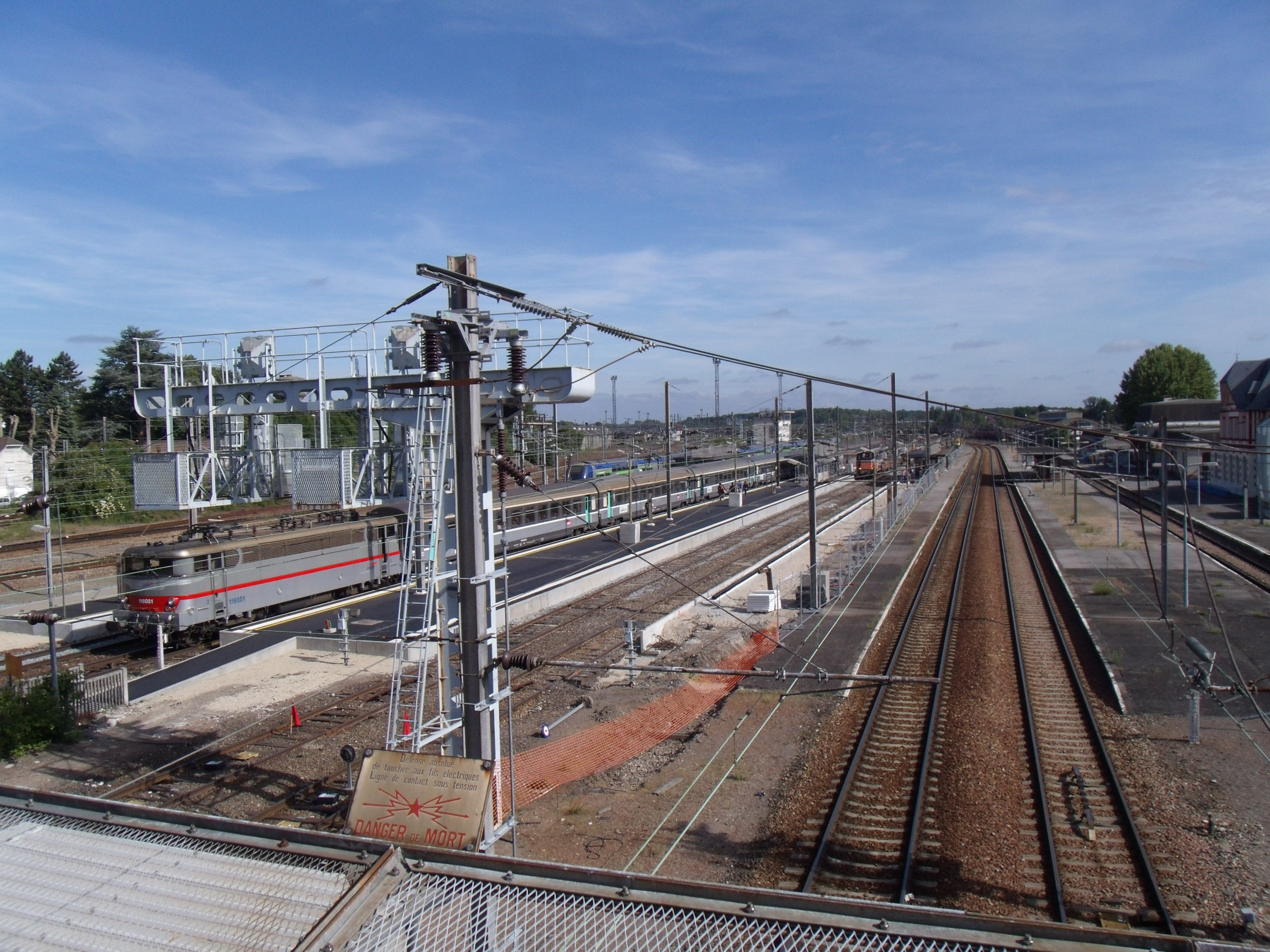
 An Intercités train in Tergnier station
The Creil–Jeumont railway is used by the following passenger services:
- Intercités from Paris to Cambrai and Maubeuge on the section between Creil and Maubeuge
- TER Picardie and TER Nord-Pas-de-Calais regional services on the whole line
References
- ^ RFF - Network mapPDF
- ^ RFF - Map of electrified railway linesPDF
- ^ a b Direction Générale des Ponts et Chaussées et des Chemins de Fer (1869) (in French). Statistique centrale des chemins de fer. Chemins de fer français. Situation au 31 décembre 1869. Paris: Ministère des Travaux Publics. pp. 146–160.
External links
Categories:- Railway lines in France
Wikimedia Foundation. 2010.