- Coe Hill, Ontario
-
 Coe Hill
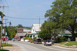
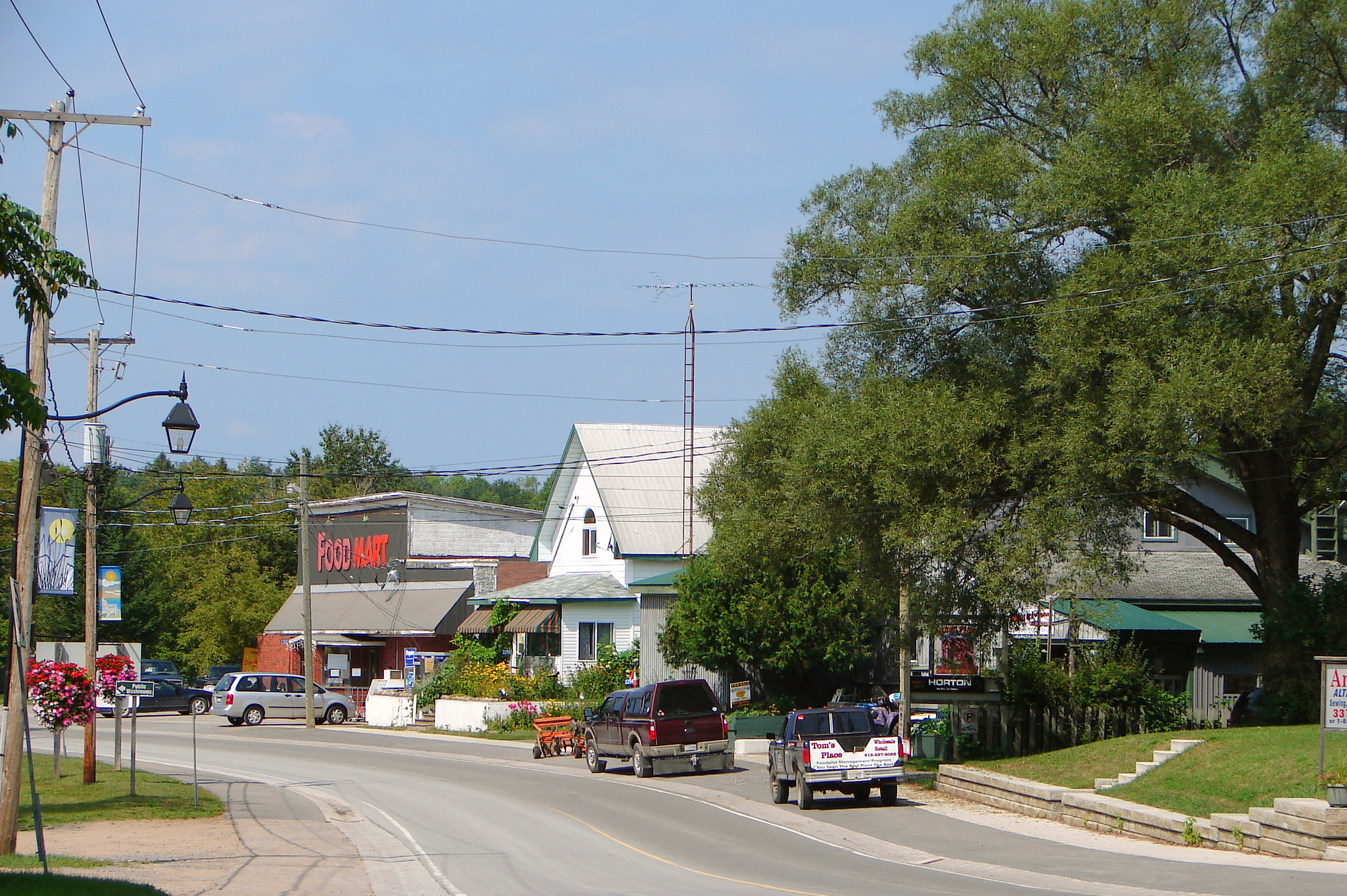
Coe Hill is a community in the township of Wollaston, Hastings County, Ontario, Canada. The local post office serves residents with lock boxes and four rural routes, two of which are for a neighbouring village, Gilmour in Tudor and Cashel township. The community also has a restaurant,[1] and a yoga centre located in an old church.[2] Hastings County road 620 runs through the community, connecting it to Ontario Highways 28 to the west and 62 to the east.Enjoy camping sites, snowmobiling trails, parks, swimming, lakes, fishing, and boating. Drive down the scenic roads to enjoy the "changing of the leaves" located on the Ridge Road or Old Hasting Road. Watch the water chute through "The Gut" at the Crowe River Conservation. Visit other communities close by Glen Alda, Ormsby, Gunter, St Ola and Apsley.
Coe Hill has: Restaurants, Gas station , Legion, Beer Store, Landscaping, School, Post Office, Grocery Store, Bakery, Fishing Supplies, Doctor's Office and Remax Office.
References
- ^ "Coe Hill Hideaway Grill & Market". http://www.coehillhideaway.com/. Retrieved 2010-03-08.
- ^ "Coe Hill Dharma Centre". http://www.coehilldharmacentre.com. Retrieved 2010-03-08.
- "Coe Hill". Geographical Names Data Base. Natural Resources Canada. http://geonames.nrcan.gc.ca/search/unique_e.php?id=FARZY&output=xml. Retrieved 2010-03-08.
- "Toporama - Topographic Map Sheet 31C13". Atlas of Canada. Natural Resources Canada. http://atlas.nrcan.gc.ca/site/english/maps/topo/map. Retrieved 2010-03-08.
Coordinates: 44°51′43″N 77°50′11″W / 44.86194°N 77.83639°W
Categories:- Communities in Hastings County, Ontario
- Ontario geography stubs
Wikimedia Foundation. 2010.