- Clums Corners, New York
-
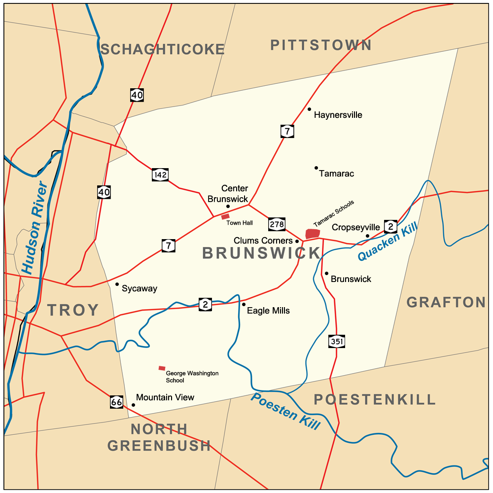
Clums Corners — Hamlet — Map of Brunswick and its major thoroughfares, with Clums Corners labeled Location within New York
 Clums Corners
Coordinates: 42°45′02″N 73°34′19″W / 42.75056°N 73.57194°W Country  United States
State  New York
County Rensselaer Town Brunswick Settled Late 1700s Time zone Eastern (EST) (UTC-5) – Summer (DST) EDT (UTC-4) ZIP code 12180 Area code(s) 518 Clums Corners is a hamlet in the town of Brunswick in Rensselaer County, New York, United States. It is located at the intersection of New York Route 2 (Brunswick Road), New York Route 278 (Brick Church Road), and Tamarac Road (County Route 129). Tamarac Secondary and Elementary Schools are located nearby. The site is so named for the Clum family—specifically James Clum and later his son Orlin—who ran a blacksmith shop during the late 19th century and early 20th century.[1]
The area was serviced by the Little Red Schoolhouse—known officially as the Brunswick District No. 6 Schoolhouse—until it was closed in 1958, upon the consolidation of Brunswick (Brittonkill) Central School District and the opening of Tamarac School.[2]
The area was mostly farmland until the building of the school on the north side of Route 2 and then the strip mall Tamarac Plaza, the former King Fuel's gas station (now Cobble Pond), and the Rensselaer County Association for Retarded Children were built on the south side. Prior to this development, the area was known as Clum's Flats and was a popular place to race horses on Sunday afternoons.[1]
Other nearby businesses include a Stewart's Shop on the corner of Route 278 and Tamarac Road, and a branch of Mohawk Ambulance and a substation of New York State Department of Transportation on Route 278 across from the Little Red Schoolhouse. Houses line Tamarac Road towards Pittstown and new housing has been built off Buck Road behind the Little Red Schoolhouse, which is in addition to the Langmore Lane development, which has been around for decades.
References
- ^ a b Zankel (1998), p. 28
- ^ Zankel, Sharon (2008-04-22). "National Register of Historic Places nomination, District 6 Schoolhouse (Javascript)". New York State Office of Parks, Recreation and Historic Preservation. http://www.oprhp.state.ny.us/hpimaging/hp_view.asp?GroupView=102534. Retrieved 2009-06-25.
Bibliography
- Zankel, Sharon Martin (1998). Images of America: Brunswick. Arcadia Publishing/Brunswick Historical Society. ISBN 0752413066.
Coordinates: 42°45′02″N 73°34′19″W / 42.75056°N 73.57194°W
Categories:- Populated places in Rensselaer County, New York
- Hamlets in New York
- Brunswick, New York

Wikimedia Foundation. 2010.