- City Light
-
City Light
Queen of Lights
— town — Coordinates 21°05′N 72°51′E / 21.08°N 72.85°ECoordinates: 21°05′N 72°51′E / 21.08°N 72.85°E Country India State Gujarat District(s) Surat Nearest city Udhana Parliamentary constituency Surat Civic agency Surat Municipal Corporation Population
• Density
50,000 (2009[update])
• 16,077 /km2 (41,639 /sq mi)
Literacy 89% Time zone IST (UTC+05:30) Area
3.11 km2 (1 sq mi)
• 12 metres (39 ft)
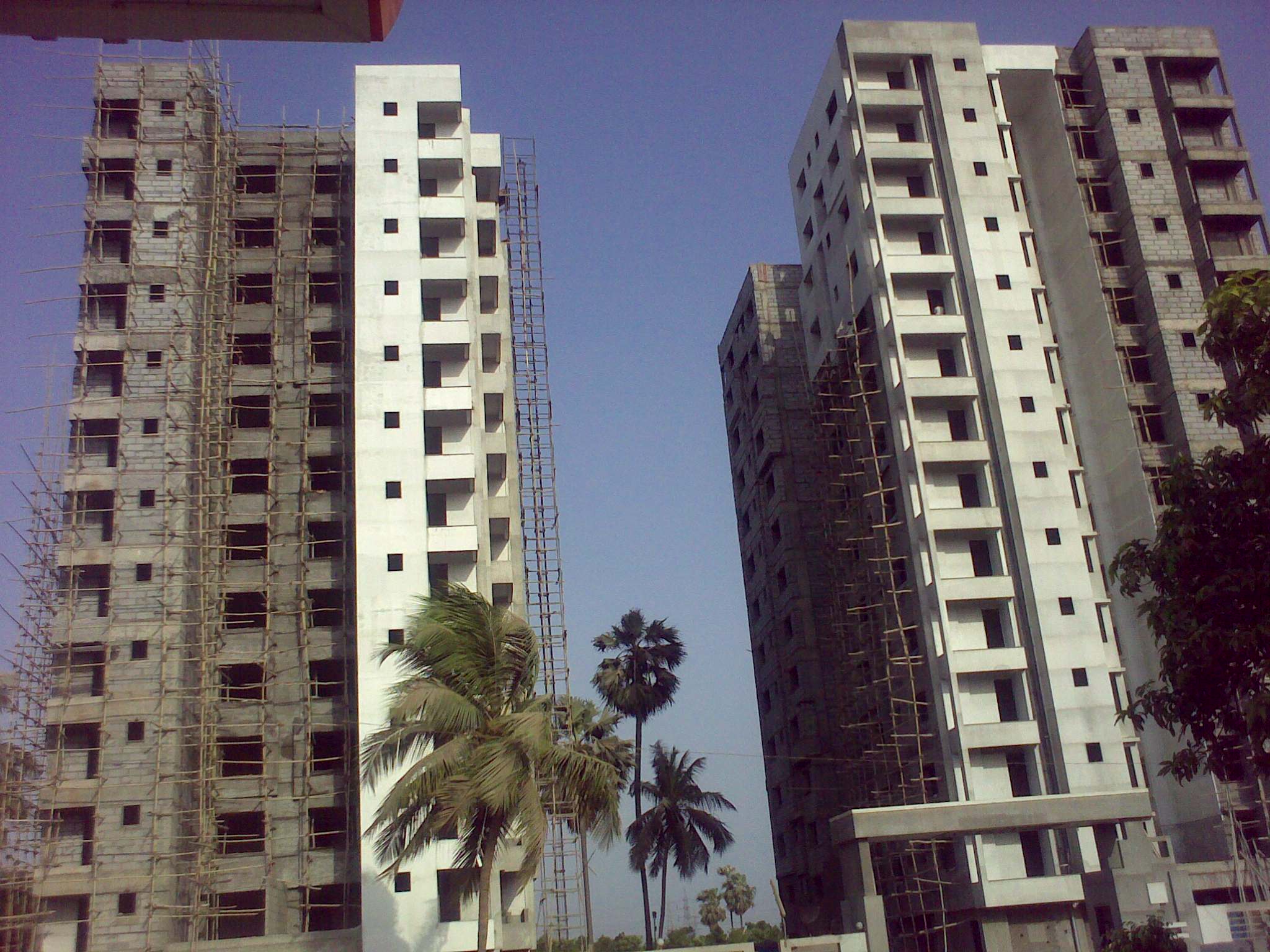
 High-rise near City Light
City Light (Hindi:सीटी लाइट) is a posh locality in Surat city and one of the happening places in Surat. Today City Light is one of the best developed residential areas in Surat city and also boasts of high-rise buildings and skyscrapers. The area is also known as Vashi of Surat for its town planning and high-rises.
Contents
Location
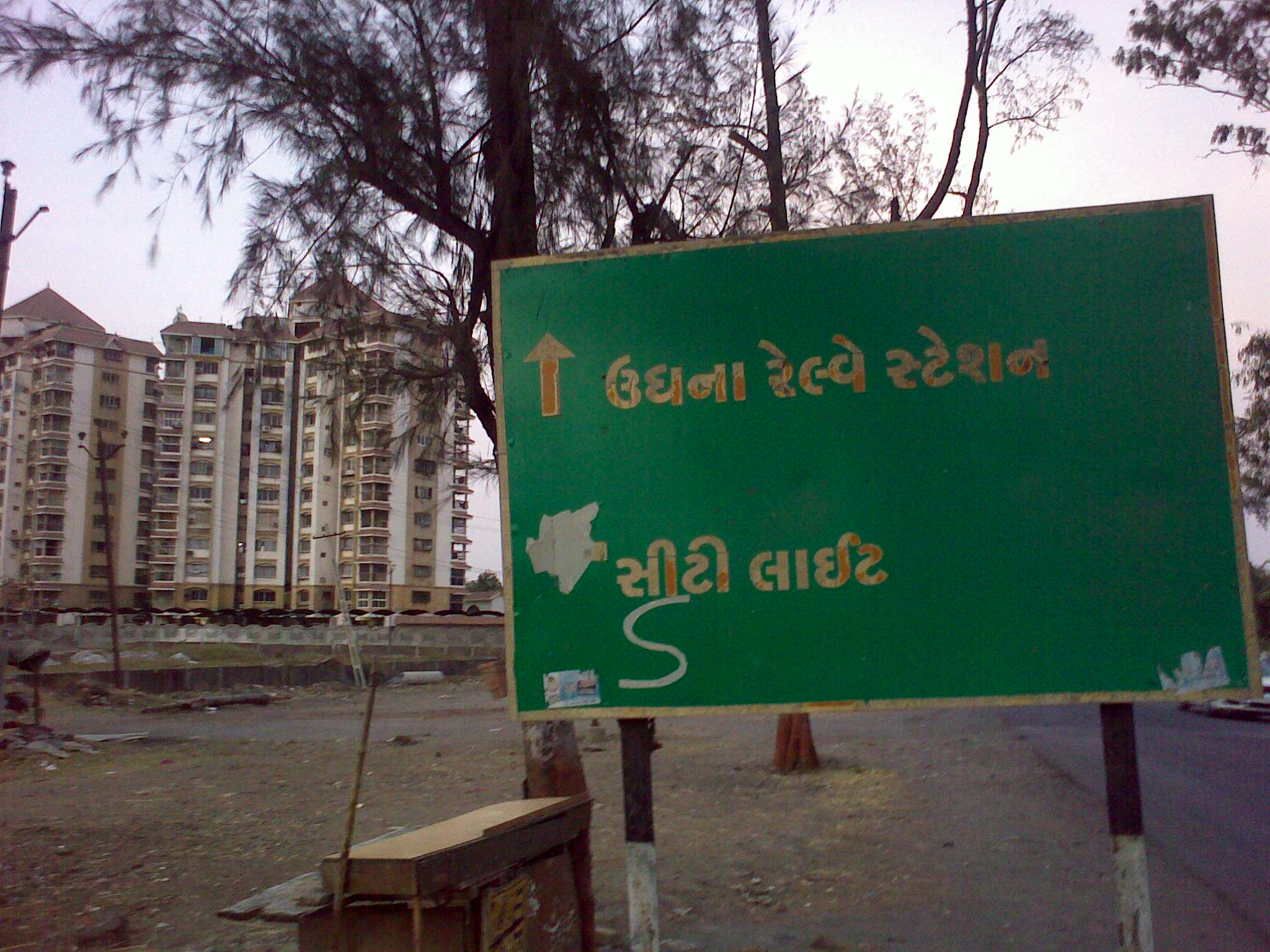
City Light is located between Udhana-Magadalla road and Gaurav Path Expressway which are one of the Surat's main roads. It can be easily reached by City Bus or Rickshaw.
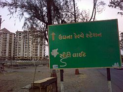 Udhana-Magdalla road
Transport
By Rail
Nearest Rail junction is Udhana Railway Station which is 8 km from City light Science center.
By Air
Nearest Airport is Surat which is 16 km from City Light.
By Road
By road City Light is well connected to Udhana and Surat. BRTS project will connect the town rapidly with other towns and cities in and around Surat by 2010.
References
Categories:- Surat
- Neighbourhoods of Surat


Wikimedia Foundation. 2010.