- Chom Bueng District
-
Chom Bueng
จอมบึง— Amphoe — Amphoe location in Ratchaburi Province
Coordinates: 13°37′11″N 99°35′30″E / 13.61972°N 99.59167°ECoordinates: 13°37′11″N 99°35′30″E / 13.61972°N 99.59167°E Country  Thailand
Province Ratchaburi Seat Tambon Muban Amphoe established Area - Total 772.1 km2 (298.1 sq mi) Population (2005) - Total 58,057 - Density 75.2/km2 (194.8/sq mi) Time zone THA (UTC+7) Postal code 70150 Geocode 7002 Chom Bueng (Thai: จอมบึง) is a district (Amphoe) of Ratchaburi Province in western Thailand.
Geography
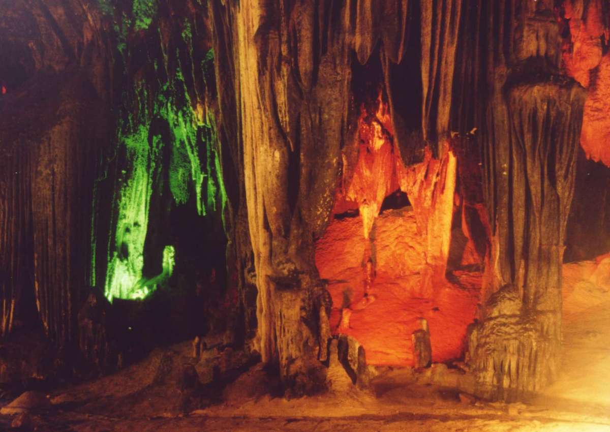
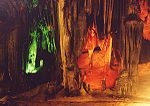 Khao Bin cave
Neighboring districts are (from the north clockwise) Dan Makham Tia and Tha Muang of Kanchanaburi Province, and Photharam, Mueang Ratchaburi, Pak Tho, Ban Kha and Suan Phueng.
Several caves are located in the district. Khao Bin cave is regarded as the most beautiful one, having many stalactites and stalagmites and a holy pond. The cave is named after a rock formation which looks like a flying bird. Chomphon cave was renamed by King Chulalongkorn during his visit in the area in 1895, due to a stalactite looking like an epaulette of a field marshal.
History
In 1895 King Chulalongkorn and Queen Saovabha visited Ratchaburi Province, including the area of the district. The king saw a big beautiful lake there. He then named the area Big Lake or Chom Bueng, and made it to be a minor district (king amphoe).
In 1958 Chom Bueng was upgraded to be Amphoe Chom Bueng.
Administration
The district is subdivided into 6 subdistricts (tambon), which are further subdivided into 88 villages (muban). Both Com Bueng and Dan Thap Tako have township status (thesaban tambon), each covering parts of the same-named tambon.
No. Name Thai name Villages Inh. 1. Chom Bueng จอมบึง 13 14,094 2. Pak Chong ปากช่อง 15 8,828 3. Boek Phrai เบิกไพร 10 5,479 4. Dan Thap Tako ด่านทับตะโก 20 12,115 5. Kaem On แก้มอ้น 15 9,009 6. Rang Bua รางบัว 15 8,532 Mueang Ratchaburi · Chom Bueng · Suan Phueng · Damnoen Saduak · Ban Pong · Bang Phae · Photharam · Pak Tho · Wat Phleng · Ban KhaCategories:- Amphoe of Ratchaburi
- Central Thailand geography stubs

Wikimedia Foundation. 2010.