- Charring Cross, Ooty
-
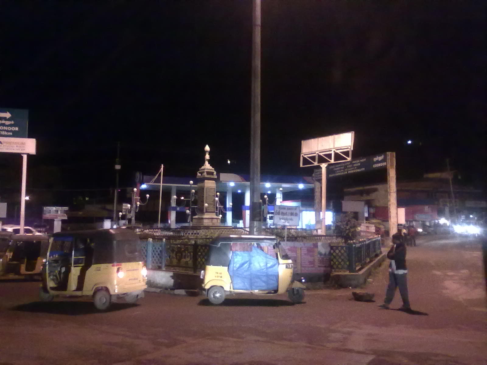
Charring cross — junction — Night-time view of Charring Cross, Ooty
Coordinates Country India State Tamil Nadu District(s) The Nilgiris Civic agency Udagamandalam Municipality Corporation Time zone IST (UTC+05:30) Area
• 2,400 metres (7,900 ft)[1]
Climate
• Precipitation
TemperatureTropical wet (Köppen)
• 1,237 mm (48.7 in)
• 20 °C (68 °F)Footnotes- Temperature from Batchmates.com[2]
Charring cross is a junction in National Highway 67 (India) intersecting the commercial road and the Ooty-Coonoor road in Ooty, Tamil Nadu.[3] It is considered to be one of the most important[4] and beautiful places in Ooty.[5]
See also
- Government Rose Garden, Ooty
- Government Botanical Gardens, Udagamandalam
- Ooty Lake
- Ooty Golf Course
- Stone House, Ooty
- Ooty Radio Telescope
- Mariamman temple, Ooty
- St. Stephen's Church, Ooty
- Kamaraj Sagar Dam
References
- ^ "About Municipality". municipality.tn.gov.in. http://municipality.tn.gov.in/ooty/abt-muni.htm. Retrieved 2008-02-15.
- ^ "Ooty: In the Lap of the Nilgiris". batchmates.com. http://www.batchmates.com/bmtimes/content.aspx?contentId=1471. Retrieved 2008-02-15.
- ^ "Ooty hill station". dhyansanjivani.org. http://www.dhyansanjivani.org/ganral/Ooty%20tamil%20nadu_hill.asp. Retrieved 2011-09-30.
- ^ "NILGIRIS DISTRICT - EXTRACT OF RULE 4(1)(b) OF THE RIGHT TO INFORMATION ACT 2005.". tnpolice.gov.in. http://www.tnpolice.gov.in/PDFS/Nilgiris.pdf. Retrieved Aug 11, 2011.
- ^ Swaminathan, K.P. (Jul 14, 2008). "Nilgiris ruined". The Hindu. http://www.hindu.com/2008/07/14/stories/2008071458170300.htm. Retrieved Aug 11, 2011.
External links
- Ooty / Udhagai / Udhagamandalam / Oootacamund Official history and tourism page on www.nilgiris.tn.gov.in. (This site is maintained by the District Administration of the Nilgiris)
Categories:- Road junctions in India
Wikimedia Foundation. 2010.