- Chappargram
-
This article is about the town in Khyber Pakhtunkhwa, Pakistan. For other uses, see Chappargram.
Chappargram
Urdu: چھپرگرام Pashto: چھپرګرام— Town and Village — Location in Pakistan
 Chappargram
Coordinates: 34°39′45″N 73°2′59″E / 34.6625°N 73.04972°ECoordinates: 34°39′45″N 73°2′59″E / 34.6625°N 73.04972°E Country  Pakistan
Region  Khyber Pakhtunkhwa
District Battagram District Tehsil Battagram Tehsil Union Council Ajmera Village Chappargram Elevation 1,073 m (3,520 ft) Time zone PST (UTC+5) 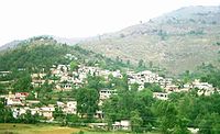 Chappargram, a village in the Battagram District
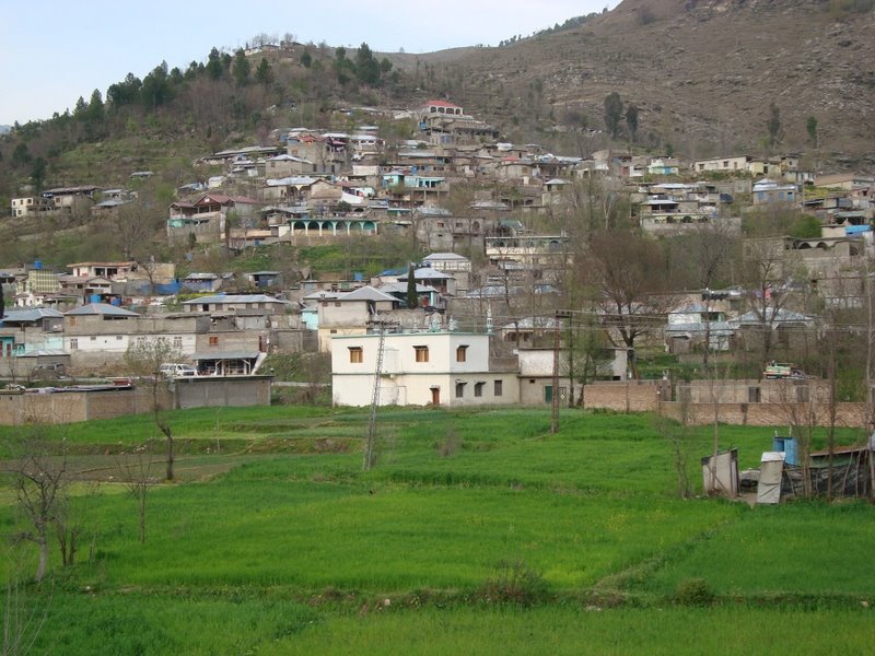
 A front view of Chappargram
Chappargram or Chapargram (Urdu: چھپرگرام , Pashto: چھپرګرام) is a village of Battagram District in Khyber-Pakhtunkhwa province of Pakistan.[1] It is part of Ajmera Union Council and lies within Battagram Tehsil and is located about four kilometres from the district headquarters Battagram along the Shahrah-e-Resham (Karakoram Highway) or silk route[2].
Chappargram was one of the villages affected by the 2005 Kashmir earthquake of October 8, 2005 when more than 100 people were killed and approximately 500 were injured. Many residents of the village were rendered homeless and without shelter. The khels in Chappargram are Khadar Khani, Behram Khel, Raza khani, Mula Khel and Shams Khel.
Contents
See also
- Ajmera
- Battagram District
- Battagram Tehsil
- Yusafzai
- Khyber-Pakhtunkhwa
Gallery
-

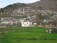
A child of Chappargram
-
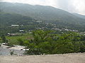
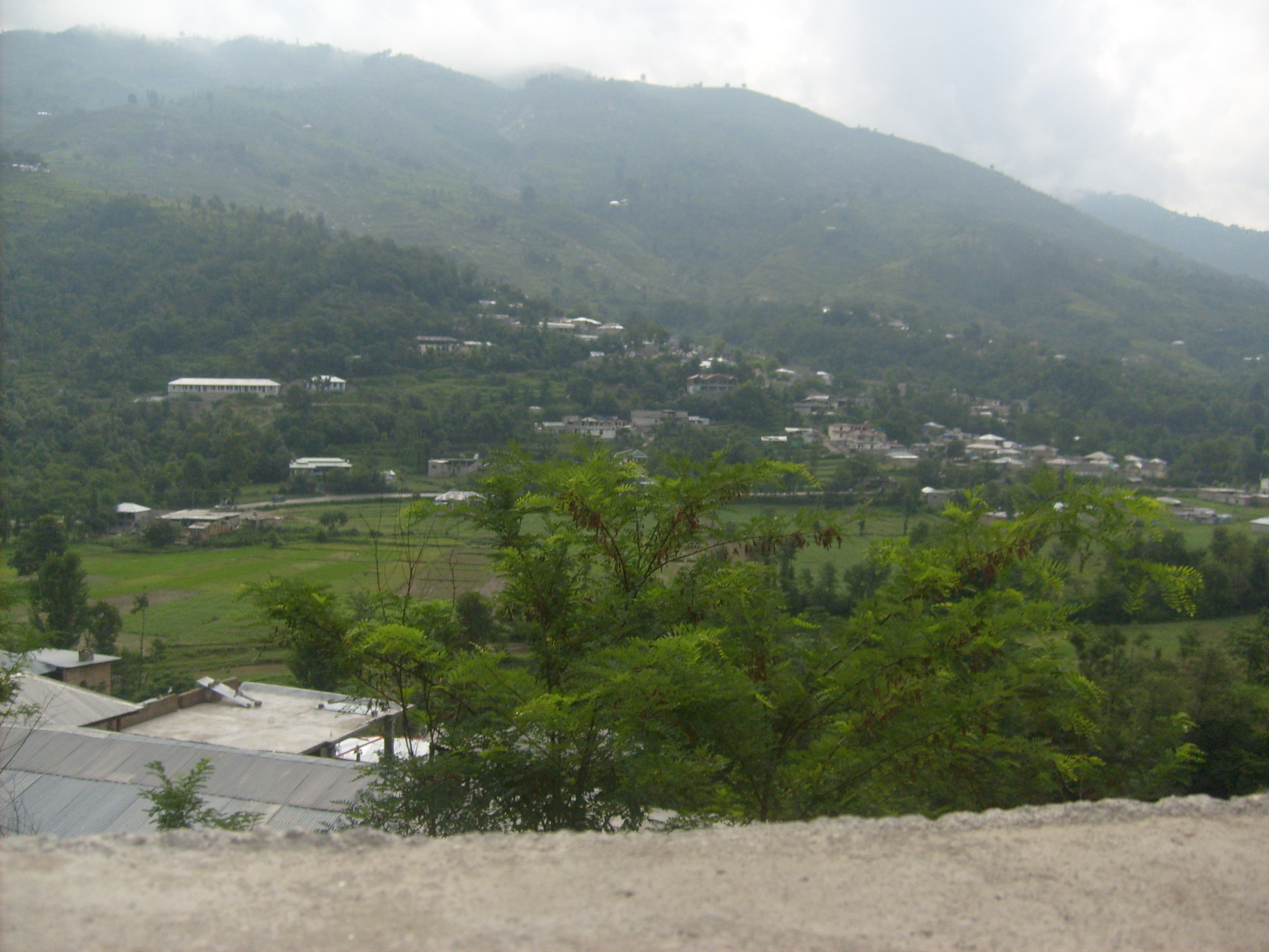
Chappargram from Kandar
References
External links
- BATTAGRAM-District Profile ERRA
- "List of polling stations" - The Gazette of Pakistan
- "NRC PAKISTAN EARTHQUAKE SITUATION REPORT – WEEK ENDING 5TH FEB 2006" - Norwegian Refugee Council
- World Bank Document
Categories:- Populated places in Battagram District
- Khyber Pakhtunkhwa geography stubs


Wikimedia Foundation. 2010.