- Chaloem Phra Kiat District, Saraburi
-
Chaloem Phra Kiat
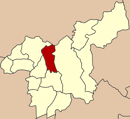
เฉลิมพระเกียรติ— Amphoe — Amphoe location in Saraburi Province
Coordinates: 14°36′41″N 100°54′31″E / 14.61139°N 100.90861°ECoordinates: 14°36′41″N 100°54′31″E / 14.61139°N 100.90861°E Country  Thailand
Province Saraburi Seat Khao Din Phatthana Tambon Muban Amphoe established Area - Total 150.6 km2 (58.1 sq mi) Population (2000) - Total 25,616 - Density 170.1/km2 (440.6/sq mi) Time zone THA (UTC+7) Postal code 18000 Geocode 1913 Chaloem Phra Kiat (Thai: เฉลิมพระเกียรติ) is a district (Amphoe) in the northern part of Saraburi Province, central Thailand.
Contents
History
Tambon Huai Bong, Ban Keng, Khao Din Phatthana, Phu Khae and Na Phra Lan were separated from Amphoe Mueang Saraburi to create the new district. The new district was officially erected on December 5, 1996, as one of five districts named Chaloem Phra Kiat created to commemorate the 50th anniversary of the ascension to throne of King Bhumibol Adulyadej (Rama IX)[1]. This area was selected because there is a royal project located within, a new agricultural theory tested at Wat Mongkhon Chaiphatthana by the Chaiphatthana foundation.
Geography
Neighboring districts are (from the north clockwise) Phattana Nikhom of Lopburi Province, Kaeng Khoi, Mueang Saraburi, Sao Hai and Phra Phutthabat of Saraburi Province.
Administration
The district is subdivided into 6 subdistricts (tambon), which are further subdivided into 51 villages (muban). Na Phra Lan has township (thesaban tambon) status and covers parts of the same-named tambon. Each of the 6 tambon is administrated by a Tambon Administrative Organization (TAO).
No. Name Thai name Villages Inh. 1. Khao Din Phatthana เขาดินพัฒนา 7 2,456 2. Ban Kaeng บ้านแก้ง 8 2,879 3. Phueng Ruang ผึ้งรวง 5 2,112 4. Phu Khae พุแค 10 5,935 5. Huai Bong ห้วยบง 9 3,965 6. Na Phra Lan หน้าพระลาน 12 13,275 References
- ^ "พระราชกฤษฎีกาตั้งอำเภอเฉลิมพระเกียรติ จังหวัดนครราชสีมา อำเภอเฉลิมพระเกียรติ จังหวัดนครศรีธรรมราช อำเภอเฉลิมพระเกียรติ จังหวัดน่าน อำเภอเฉลิมพระเกียรติ จังหวัดบุรีรัมย์ และอำเภอเฉลิมพระเกียรติ จังหวัดสระบุรี พ.ศ. ๒๕๓๙" (in Thai). Royal Gazette 113 (62 ก): 1–4. November 20, 1996. http://www.ratchakitcha.soc.go.th/DATA/PDF/2539/A/062/1.PDF.
External links
Mueang Saraburi · Kaeng Khoi · Nong Khae · Wihan Daeng · Nong Saeng · Ban Mo · Don Phut · Nong Don · Phra Phutthabat · Sao Hai · Muak Lek · Wang Muang · Chaloem Phra Kiat
Categories:- Amphoe of Saraburi
- Central Thailand geography stubs
Wikimedia Foundation. 2010.