- Aryanad
-
Aryanad — village — Coordinates 8°36′25″N 77°05′37″E / 8.607050°N 77.093730°ECoordinates: 8°36′25″N 77°05′37″E / 8.607050°N 77.093730°E Country India State Kerala District(s) Thiruvananthapuram Subdistrict(s) Nedumangad Population 27,398 (2001[update]) Time zone IST (UTC+05:30) Aryanad is a village in Thiruvananthapuram district in the state of Kerala, India.[2]
Demographics
As of 2001[update] India census, Aryanad had a population of 27398 with 13037 males and 14361 females.[2]
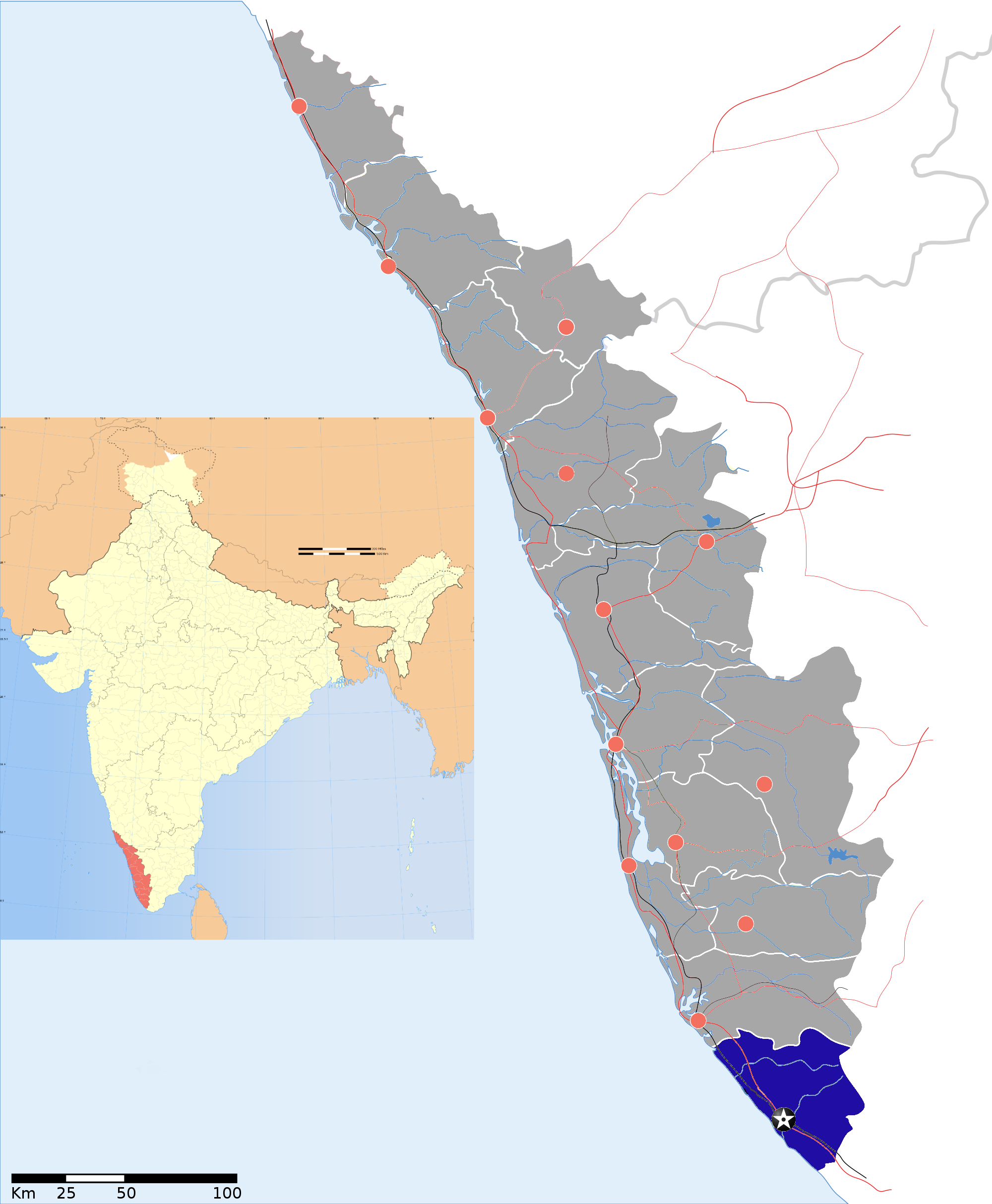
Thiruvananthapuram district District HQ: ThiruvananthapuramHistory 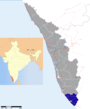
Geography Karamana River · Vamanapuram River · Neyyar River · Varkala Beach · Agastya Mala · Ponmudi · Meenmutty FallsCities and Taluks TaluksCorporationsMunicipalitiesTransport Thiruvananthapuram International Airport · Trivandrum Central · Varkala Sivagiri station · NH 47 · Main Central RoadEducation Buildings Culture Lok Sabha constituencies Thiruvananthapuram · AttingalReferences
- ^ "India Post :Pincode Search". http://www.indiapost.gov.in/pin/pinsearch.aspx. Retrieved 2008-12-16.
- ^ a b "Census of India : Villages with population 5000 & above". http://www.censusindia.gov.in/Census_Data_2001/Village_Directory/Population_data/Population_5000_and_Above.aspx. Retrieved 2008-12-10.
Categories:- Villages in Thiruvananthapuram district
- Thiruvananthapuram district geography stubs


Wikimedia Foundation. 2010.