- Mweelrea
-
Mweelrea Cnoc Maol Réidh 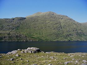
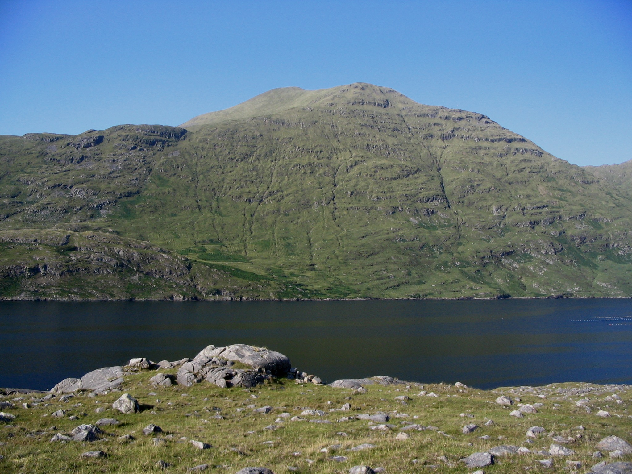
Mweelrea over Killary HarbourElevation 814 m (2,671 ft) Prominence 778 m (2,552 ft) Listing Marilyn, Hewitt Translation smooth bald hill (Irish) Pronunciation English: /mwiːlˈreɪ/ Location Location County Mayo, Republic of Ireland Topo map OSi Discovery 37 OSI/OSNI grid L789668 Mweelrea (/mwiːlreː/; from Irish: Cnoc Maol Réidh meaning "smooth bald hill")[1] is a mountain in County Mayo, Republic of Ireland. With a height of 814 metres (2,670 feet), it is the highest point in County Mayo, the highest point in the province of Connacht and the 34th highest in Ireland. The mountain overlooks Killary Harbour.
Mweelrea is relatively easy for novice climbers to negotiate, and provides some stunning views of the surrounding area, including views of County Galway and Mayo, and the Atlantic Ocean.
See also
References
Mountains and hills of Connacht Achill Island 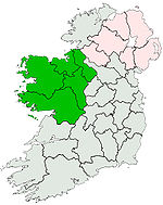
Dartry Mountains Benbulbin • TruskmoreMaumturks Nephin Range Ox Mountains KnockalongyPartry Mountains Sheeffry Range Twelve Bens Benbaun • Bencorr • ErrisbegOthers Munster Carrauntoohil (Corrán Tuathail) - 1,038 m (3,406 ft)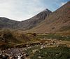
Leinster Lugnaquilla (Log na Coille) - 925 m (3,035 ft)Ulster Slieve Donard (Sliabh Dónairt) - 849 m (2,785 ft)Connacht Mweelrea (Maol Réidh) - 814 m (2,671 ft)Coordinates: 53°38′10″N 9°49′52″W / 53.636°N 9.831°W
Categories:- Marilyns of Ireland
- Hewitts of Ireland
- Mountains and hills of County Mayo
- County Mayo geography stubs

Wikimedia Foundation. 2010.