- Oud-Turnhout
-
Oud-Turnhout 
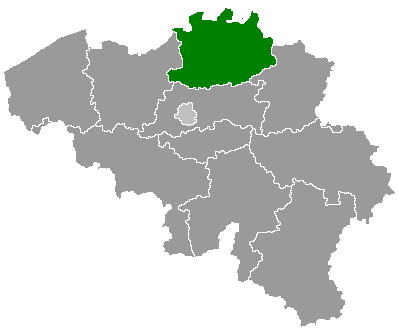
Coat of armsLocation in Belgium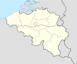
 Oud-Turnhout
Coordinates: 51°19′N 04°59′E / 51.317°N 4.983°E Country Belgium Region Flemish Region Community Flemish Community Province Antwerp Arrondissement Turnhout Government - Mayor Jef Kersemans (CD&V) - Governing party/ies CD&V, Groen!, VLD Area - Total 38.80 km2 (15 sq mi) Population (1 January 2010)[1] - Total 12,872 - Density 331.8/km2 (859.2/sq mi) Postal codes 2360 Area codes 014 Website www.oud-turnhout.be Map of Oud-Turnhout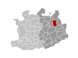
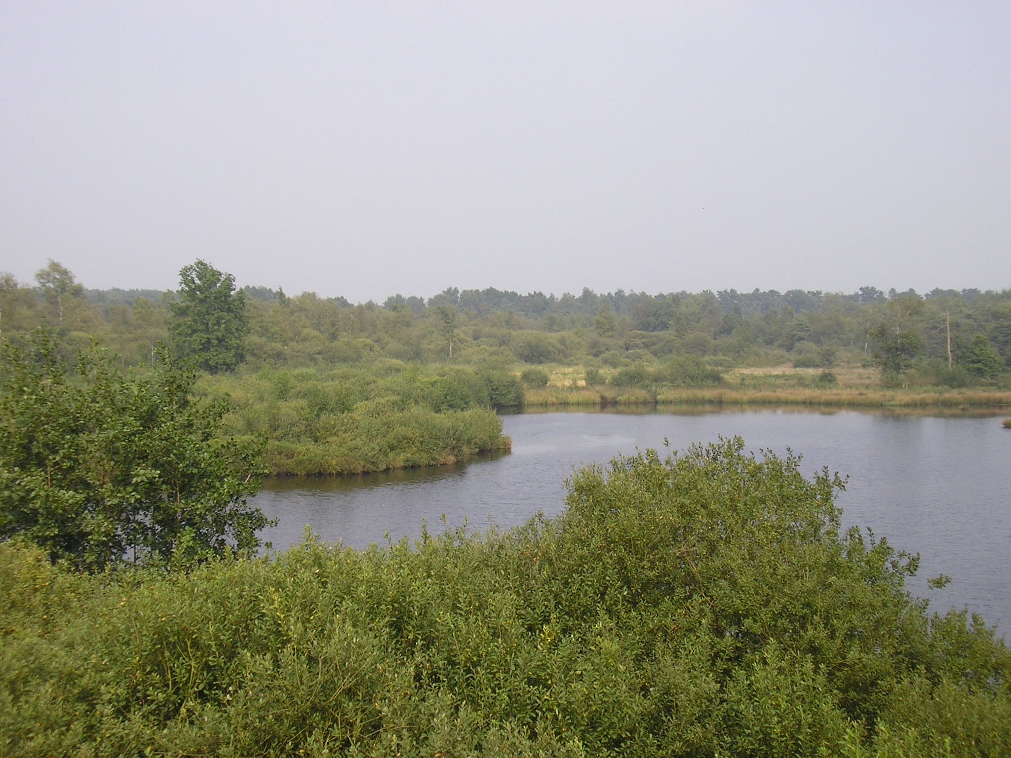
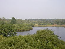 Natuur reserve De Liereman in Out-Turnhout
Oud-Turnhout is a municipality located in the Belgian province of Antwerp. The municipality only comprises the town of Oud-Turnhout proper. On January 1, 2006 Oud-Turnhout had a total population of 12,653. The total area is 38.80 km² which gives a population density of 326 inhabitants per km².
There are 3 parishes: Zwaneven in the east, St. Bavo in the centre, and Oosthoven in the north. Zwaneven is in the upmarket residential area referred to as "De Lint", where many Dutch people live, fleeing high taxes and strict building regulations in the Netherlands. Houses here are easily priced €750,000 and over.
Contents
Economy
Apple farms, pig farms and local shops are the main economic activity. Most inhabitants commute to nearby Turnhout for work, school, culture etc.
Seesights
In the northern part of the village "The Liereman" is one of Flanders' largest nature reserves. "The Liereman" also contains some rally circuits, With much didges and hedges. This rally was won in 2009 by Jelle Lumen with his "Little Red Sandwish". And Bart dominated in the year 2010 with his 1.7 Opel Vectra.
In the southern part is Priorij Corsendonck, a fifteenth century abbey, rebuilt and renovated several times, and now in use as a conference centre. It is not open to the general public.
Famous inhabitants
- Karel Van Miert, politician, European Commissioner
- Margriet Hermans, Politician and Singer
- Robin Vercammen
- Bart Engelen
- Maikel Goossens
References
- ^ Population per municipality on 1 January 2010 (XLS; 221 KB)
External links
- Official website (Dutch)
Antwerp Aartselaar · Antwerp · Boechout · Boom · Borsbeek · Brasschaat · Brecht · Edegem · Essen · Hemiksem · Hove · Kalmthout · Kapellen · Kontich · Lint · Malle · Mortsel · Niel · Ranst · Rumst · Schelle · Schilde · Schoten · Stabroek · Wijnegem · Wommelgem · Wuustwezel · Zandhoven · Zoersel · Zwijndrecht
Mechelen Berlaar · Bonheiden · Bornem · Duffel · Heist-op-den-Berg · Lier · Mechelen · Nijlen · Putte · Puurs · Sint-Amands · Sint-Katelijne-Waver · WillebroekTurnhout Categories:- Municipalities of Antwerp
- Antwerp geography stubs


Wikimedia Foundation. 2010.