- Notrees, Texas
-
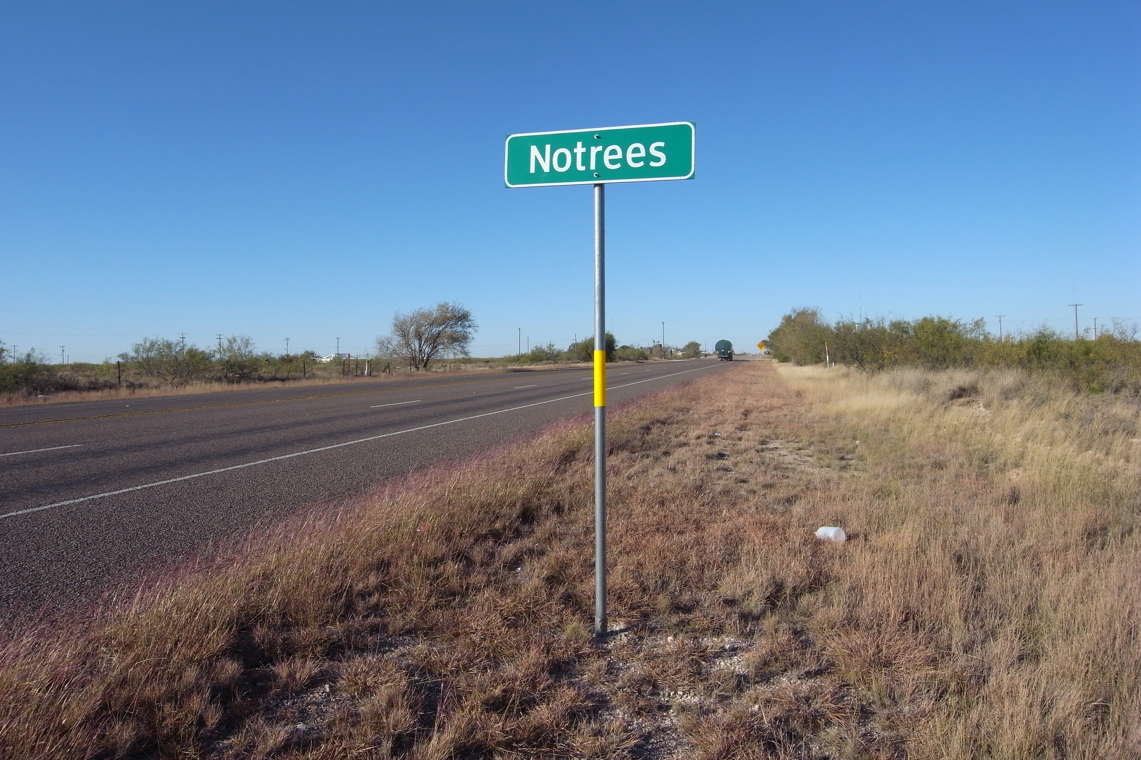
Notrees Texas 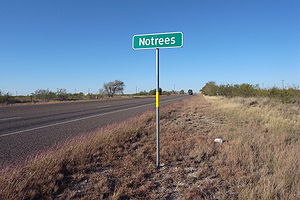
Country  United States
State  Texas
TexasRegion Ector County District West Texas, Llano Estacado Elevation 1,015 m (3,330 ft) Coordinates 31°55′2″N 102°45′21″W / 31.91722°N 102.75583°W Population 338 (2000) Founded 1946 Timezone Central Postal code 79759 Website: Handbook of Texas: Notrees, Texas Notrees is an unincorporated community in west central Ector County, Texas, United States. It is located on State Highway 302, approximately twenty miles northwest of Odessa.[1] The community is part of the Odessa Metropolitan Statistical Area.
The area began to develop in the 1940s following the discovery of large oil fields including the TXL Field. Notrees was known at various times as Caprock and Strawberry. Local merchant Charles E. Brown petitioned for a post office and selected the descriptive name of Notrees. Reportedly, the community had a single native tree before it was destroyed during the construction of a Shell Oil Company "gas plant".[1]
Notrees thrived during the 1950s and 1960s. In 1966, the population was 338 and the area was supported by several oil company camps and a few businesses. The community began to decline by the 1980s as a result of oil companies abandoning the camps that once provided housing for employees and their families because of an improved infrastructure that enabled workers to live elsewhere (e.g., Odessa) and commute to Notrees.
The community's small population currently supports four businesses and a post office (zip code 79759).
References
- ^ a b "Notrees, Texas". The Handbook of Texas online. http://www.tshaonline.org/handbook/online/articles/NN/hln31.html. Retrieved 2008-07-21.
External links
- Notrees, Texas – Texas Escapes Online Magazine
- Notrees, Texas from the Handbook of Texas Online
- U.S. Geological Survey Geographic Names Information System: Notrees, Texas
Municipalities and communities of Ector County, Texas Cities 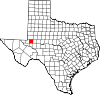
CDPs Unincorporated
communitiesNotrees | Penwell | Pleasant Farms
Footnotes ‡This populated place also has portions in an adjacent county or counties
Categories:- Unincorporated communities in Texas
- Populated places in Ector County, Texas

Wikimedia Foundation. 2010.