Haian Range

Haian Range
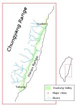
Location of Haian Range.
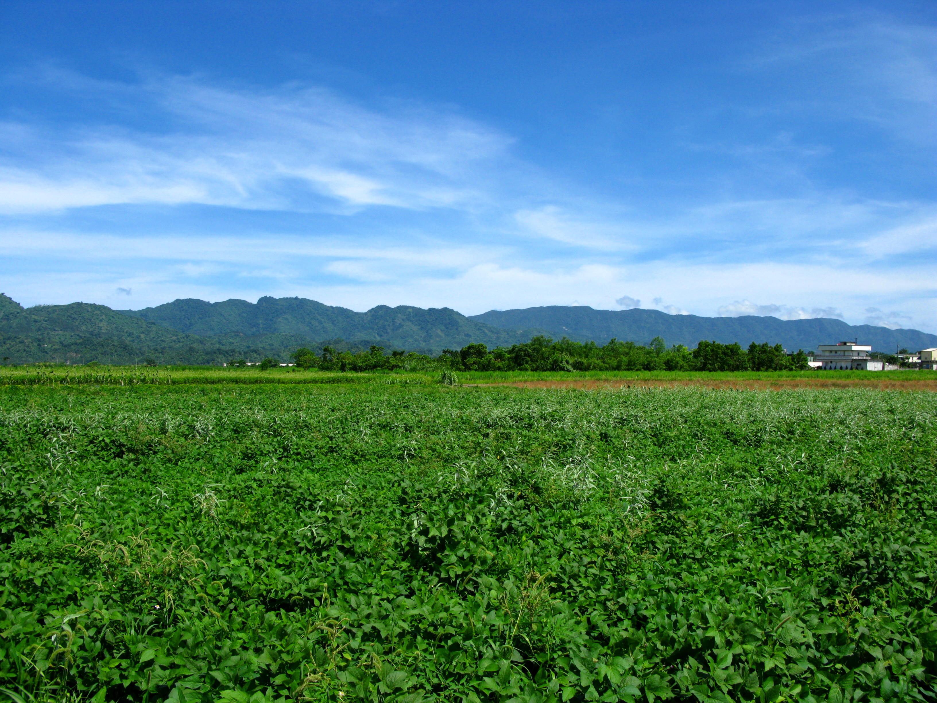
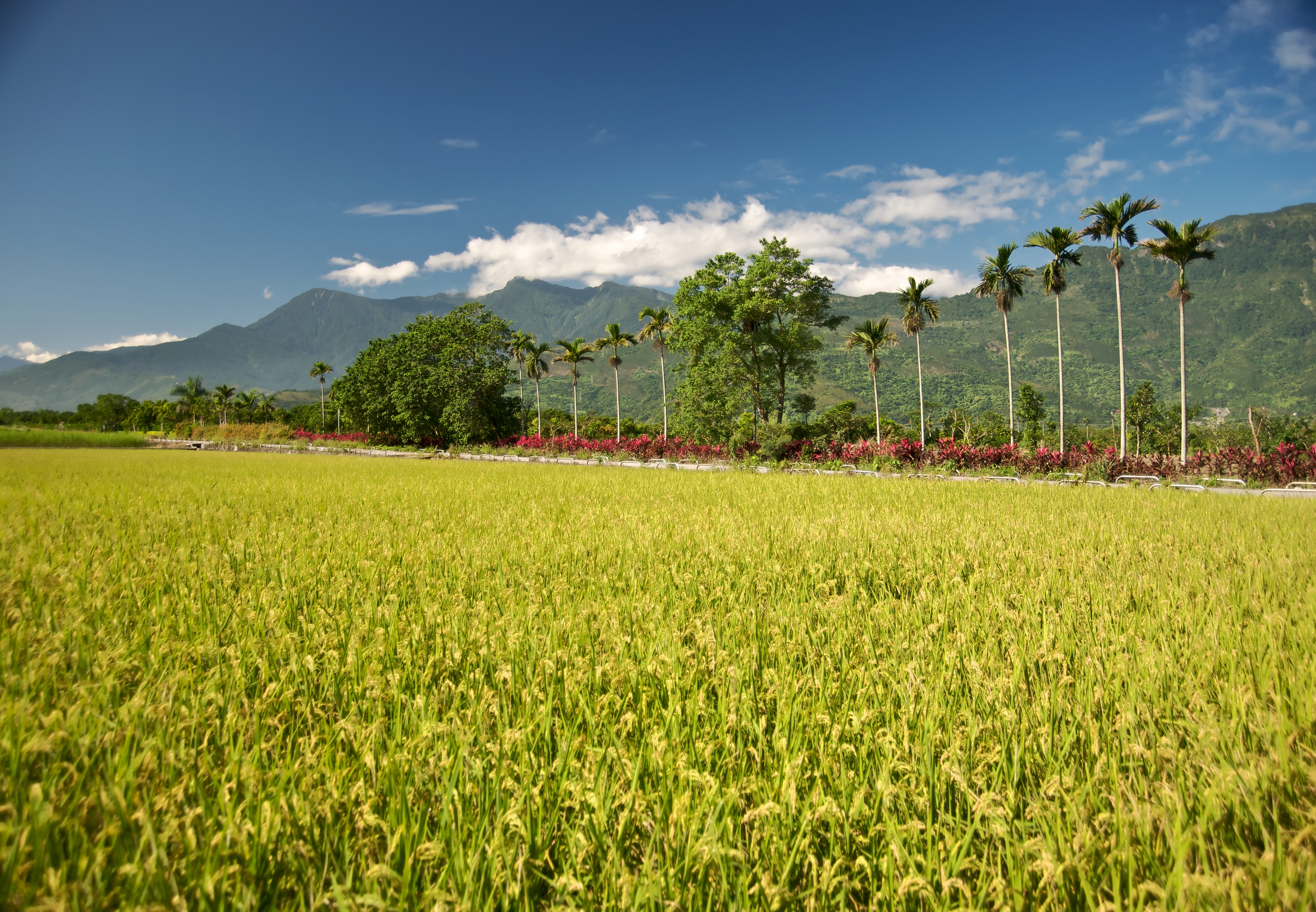
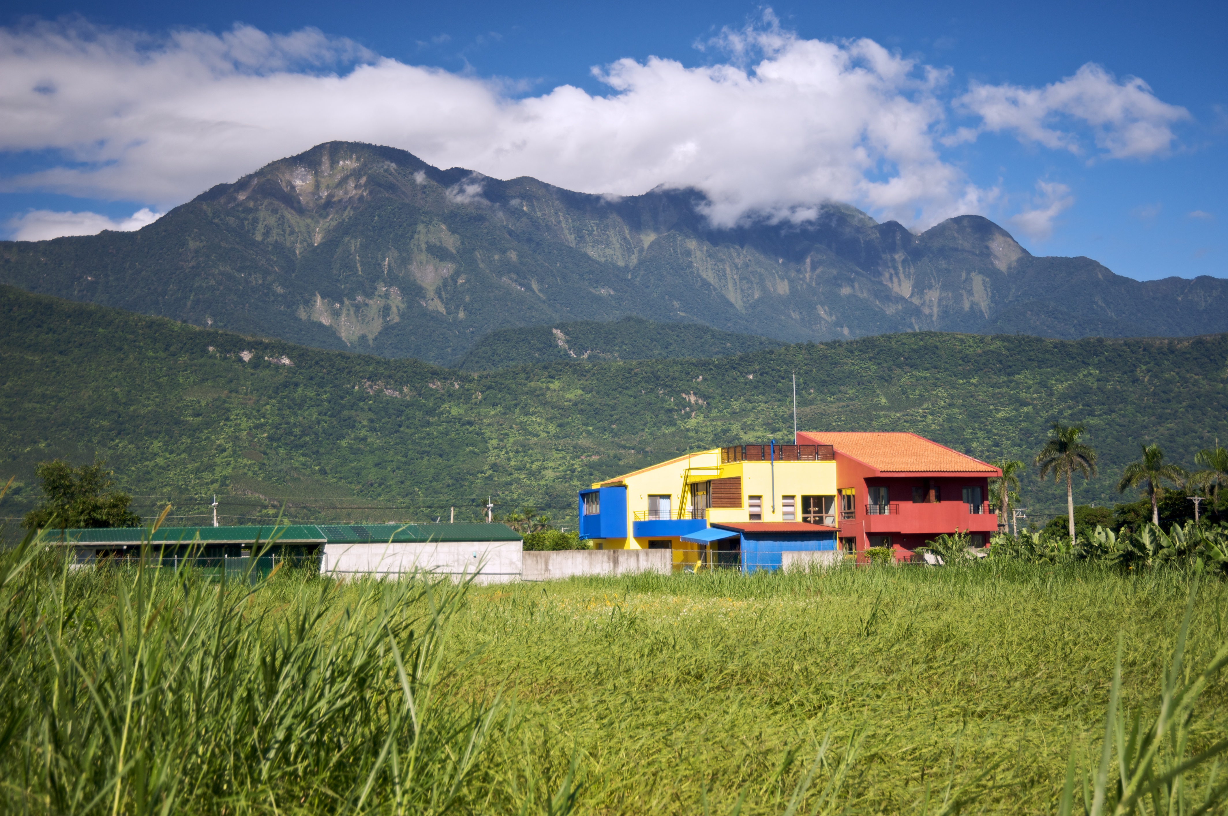
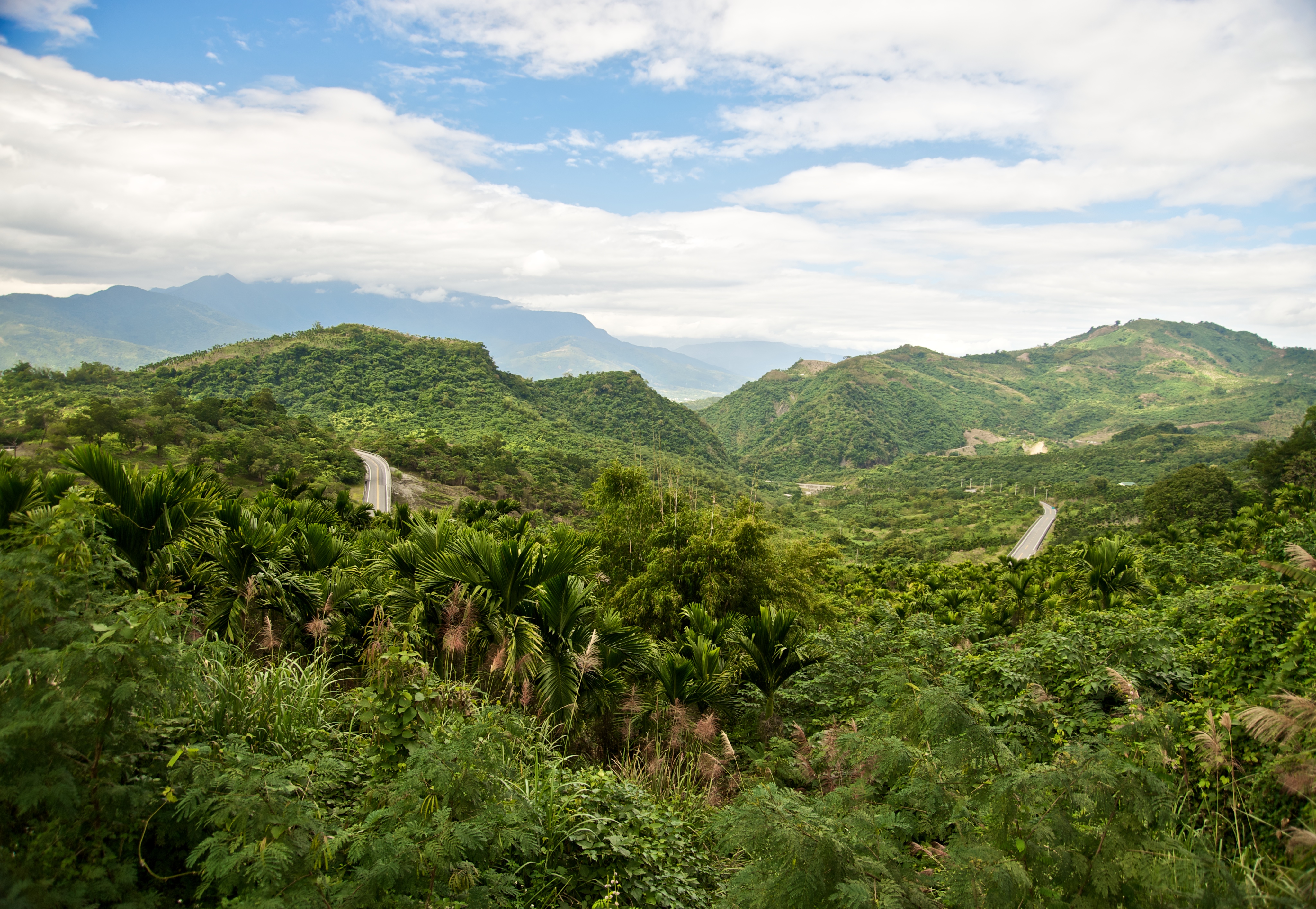
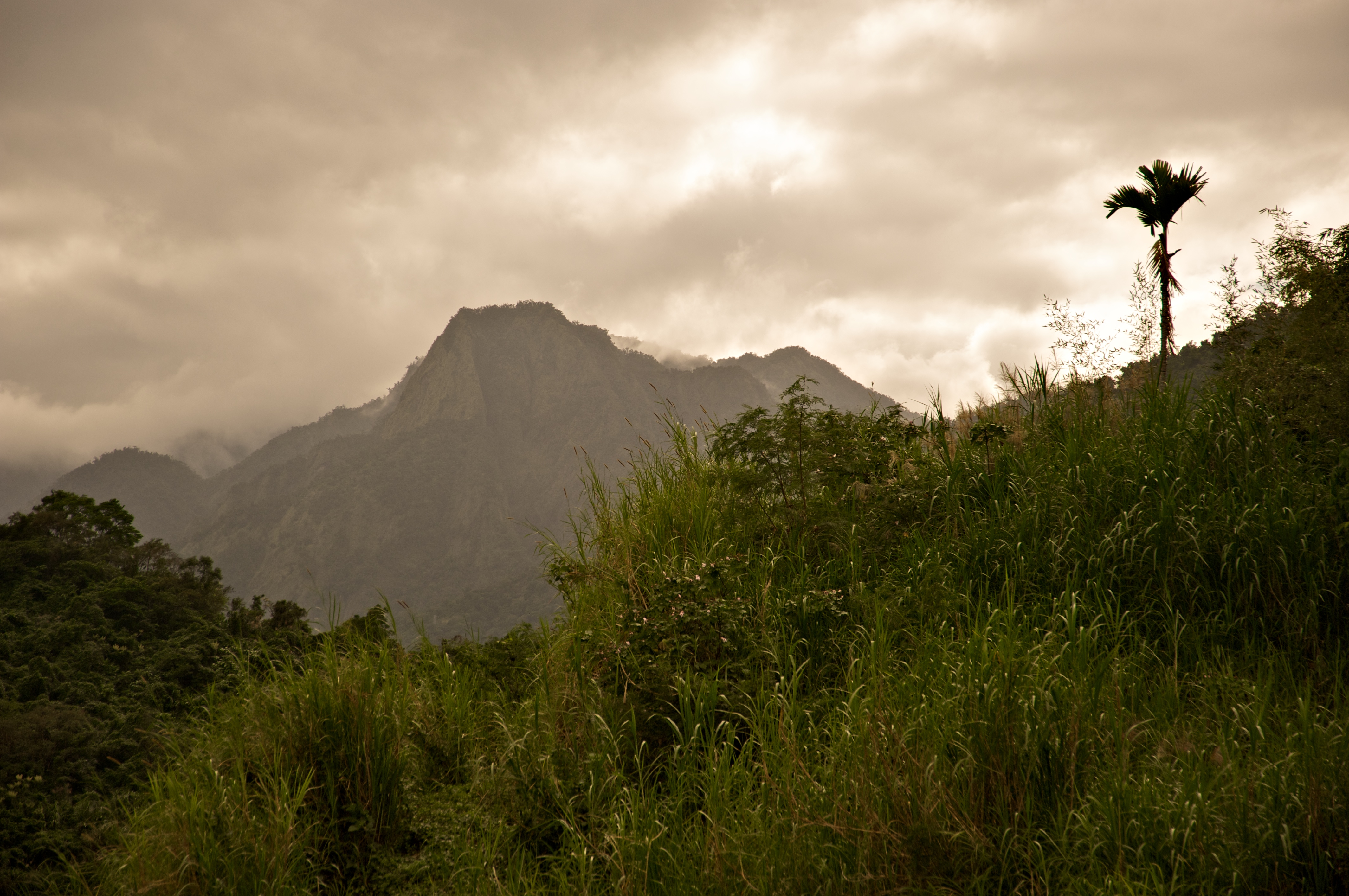
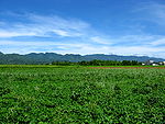
Haian Range. A view from the Huatung Valley.

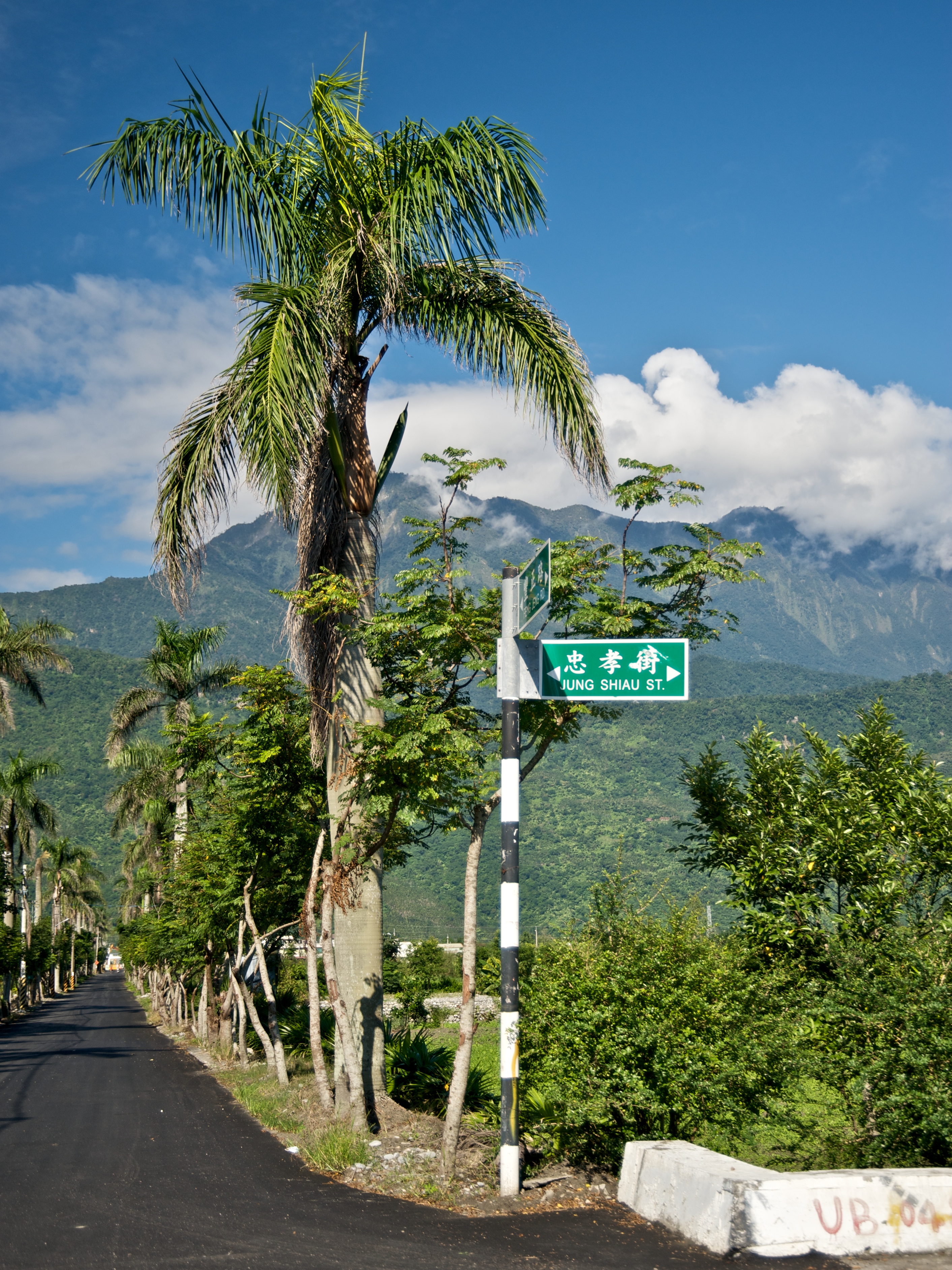
The Hai-an Range (simplified Chinese: 海岸山脉; traditional Chinese: 海岸山脈; pinyin: hǎiàn shānmài), also known as the Coastal Range, is a mountain range lies on the east seashore of Taiwan and crossed the border of counties of Hualien and Taitung. Distinct from western lands of Taiwan, it is a part of Philippine Mobile Belt instead of the Yangtze Plate.

The Huatung Valley, a part of the collision of two tectonic plates, is on the west of the range. The tallest peak of Haian Range is Hsinkangshan (新港山), which has a height of 1,682 m (5,518 ft).

There are several small basins located around the range, the largest is Taiyuan Basin.

Gallery

See also


Wikimedia Foundation. 2010.

Игры ⚽ Поможем написать курсовую

Look at other dictionaries:

  • Central Mountain Range — from the airplane. The Central Mountain Range, also known as the Chungyang Range (Chinese: 中央山脈; pinyin: Zhōngyāng Shānmò; Wade–Giles: Chung yang Sh …   Wikipedia

  • Coastal range — A Coastal range is any range of mountains forming a coastline.* North American examples are the coastal ranges of Canada, Mexico and the U.S. states of Oregon, Washington, and California, called the Pacific Coast Ranges.* Coastal range (Haian… …   Wikipedia

  • Geography of Taiwan — Taiwan Native name: 臺灣 or 台灣 Map of Taiwan …   Wikipedia

  • Geology of Taiwan — Taiwan is active geologically, showing plate boundary tectonics. The island formed at the junction of the Luzon Volcanic Arc (吕宋岛火山弧) and the Ryukyu Volcanic Arc (琉球火山弧). Subduction changes direction at Taiwan. South of the island, the Philippine …   Wikipedia

  • Miaoli Hills — (Chinese: 苗栗丘陵) is an area of hills stretching across the Miaoli County of central northern Taiwan. The hills is lies on the south of Hsinchu Hills and on the north of Taichung. It is extended from the Hsuehshan Mountain Range as a part of… …   Wikipedia

  • Changhua Plain — (colored green) is a part of the Chianan Plain (colored yellow) in a broad sense. The borders of plains in this image are in accordance with the groundwater zones of Taiwan. Changhua Plain (Chinese: 彰化平原), also known as the Alluvial Plain of… …   Wikipedia

  • Chianan Plain — The Chianan Plain or Jianan Plain (Chinese: 嘉南平原) is an alluvial plain located at the central southern region of western Taiwan. It is the largest plain of the island,[1] and lies in Tainan City and Chiayi Cou …   Wikipedia

  • Chilung Volcano Group — Chilungshan (基隆山), one of the volcanoes, has a height of 588 m. Chilung Volcanoes (Chinese: 基隆火山群), a group of volcanoes located at northern Taiwan, is just lies on the east of Taipei and Keelung (Chilung), and adjoins the northern coast of the… …   Wikipedia

  • Tatun Volcano Group — Chihsingshan (七星山), the highest peak of these volcanoes, has a height of 1120 m. Tatun Volcanoes (Chinese: 大屯火山群), a volcanic group of volcanoes located at northern Taiwan, is located 15 km[1] n …   Wikipedia

  • Dadu Plateau — Tatu Plateau Dadu Plateau (Chinese: 大肚台地), also known as the Dadu Mountain or Dadushan (大肚山), stretches across the Taichung City of the central western Taiwan. It faces the Taichung Basin on the east and the seacoast of Taichung on the west, and… …   Wikipedia

Share the article and excerpts

Direct link
Do a right-click on the link above
and select “Copy Link”