- Chapelhall
-
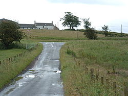
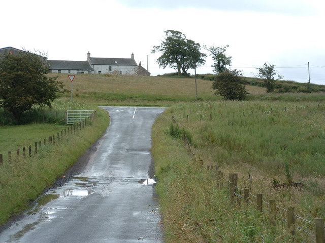
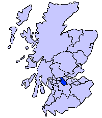
Chapelhall is a village outside the town of Airdrie in North Lanarkshire, Scotland. However, with house building this distinction between Airdrie and Chapelhall is being eroded. Established as a small mining village in the 19th century it now has population of around 6,000 today. Chapelhall is well situated just off the M8 motorway 13 miles east of Glasgow city centre and around 33 miles west of Edinburgh. Chapelhall is also near to many of Lanarkshires main towns,(Airdrie town centre via roads: 3 miles), Bellshill 4 miles, Coatbridge 5 miles, Motherwell 5 miles, Hamilton 7 miles and Cumbernauld 8 miles. The Eurocentral freight village/industrial estate is just a mile or so away and employs people from around Lanarkshire Glasgow and West lothian.The rail-freight village links with Grangemouth docks 28 miles away, (England to the south and beyond to mainland Europe).
Chapelhall lies on the opposite side of the North Calder Water from Calderbank and has very similar history. Iron working and coal mining were once prominent - with three blast furnaces working in the early 1830s. The old village also had a quarry, a brickworks and a bakery. The first curator of Kew Gardens, William Aiton, began work as a gardener in Woodhall House near Chapelhall.
Contents
Education
Chapelhall boasts two primary schools: the non-denominational primary school known as Chapelhall Primary; and the Roman Catholic school Saint Aloysius. Both schools, although separate entities, are located in a joint campus.
Upon graduation from the primary schools, Chapelhall primary and St Aloysius, most of the children from Chapelhall go to Caldervale high School and most of the children from St Aloysius go to St Margaret's high School
for more about the school your intersted in go to
http://www.northlanarkshire.gov.uk
Religion
There are three established Christian churches in Chapelhall. They are as follows:
- St Aloysius Roman Catholic Church, Main Street,
- Chapelhall Church of Scotland, (Presbyterian) Russell Street
- Chapelhall Gospel Hall, (Brethren) Roberton Street
Sport
Football
Senior/Professional Football
The following members of the Scottish Premier League and Scottish Football League are within a short drive of Chapelhall:
- Airdrie United
- Albion Rovers
- Clyde
- Hamilton Academical
- Motherwell
Junior Football
The following junior clubs are within a short drive from Chapelhall:
- Bellshill Athletic
- Carluke Rovers
- Cumbernauld Juniors
- Shotts Bon Accord
- Wishaw Juniors
Amateur Football
Chapelhall has also had a proud history of amateur football with the successful (but now disbanded "Bankhall Villa" hailed from both Chapelhall and nearby Calderbank, hence the name Bankhall.
Chapelhall is also home to The Swan Inn AFC who are currently playing in the Airdrie & Coatbridge 1st Division.
Youth Football
Chapelhall also have a boys team playing under the name "Chapelhall Thistle".
Speedway
A speedway training track operated at Chapelhall in the early 1950s.
Local website
The local website in Chapelhall is The Chapelhall Eye http://www.chapelhalleye.co.uk
Coordinates: 55°50′N 3°56′W / 55.833°N 3.933°W
Principal Towns (Over 10,000) 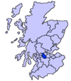
Other towns and villages Allanton · Auchinloch · Annathill · Banton · Bargeddie · Bonkle · Cambusnethan · Cardowan · Calderbank · Caldercruix · Carfin · Carnbroe · Chapelhall · Chryston · Cleland · Forrestfield · Garrion Bridge · Gartcosh · Glenboig · Harthill · Holytown · Longriggend · Mollinsburn · Moodiesburn · Mossend · Muirhead · Newarthill · Newhouse · Newmains · New Stevenston · Overtown · Plains · Queenzieburn · Ravenscraig · Riggend · Salsburgh · Shotts · Stepps · ViewparkPlaces of interest Airdrie Public Observatory · Bedlay Castle · Carfin Grotto · Clyde Valley · Dalzell House · Dalziel Park · Drumpellier · M&Ds · Newhouse Research Site · Ravenscraig Regional Sports Facility · Summerlee, Museum of Scottish Industrial Life · Strathclyde Country Park ·Categories:- Villages in North Lanarkshire
- West of Scotland geography stubs
Wikimedia Foundation. 2010.