- Chryston
-
Chryston is a village in the central belt of Scotland in the county of North Lanarkshire. Founded by James Burns Pollock, It is north of the main trunk road between Glasgow and Stirling (A80).
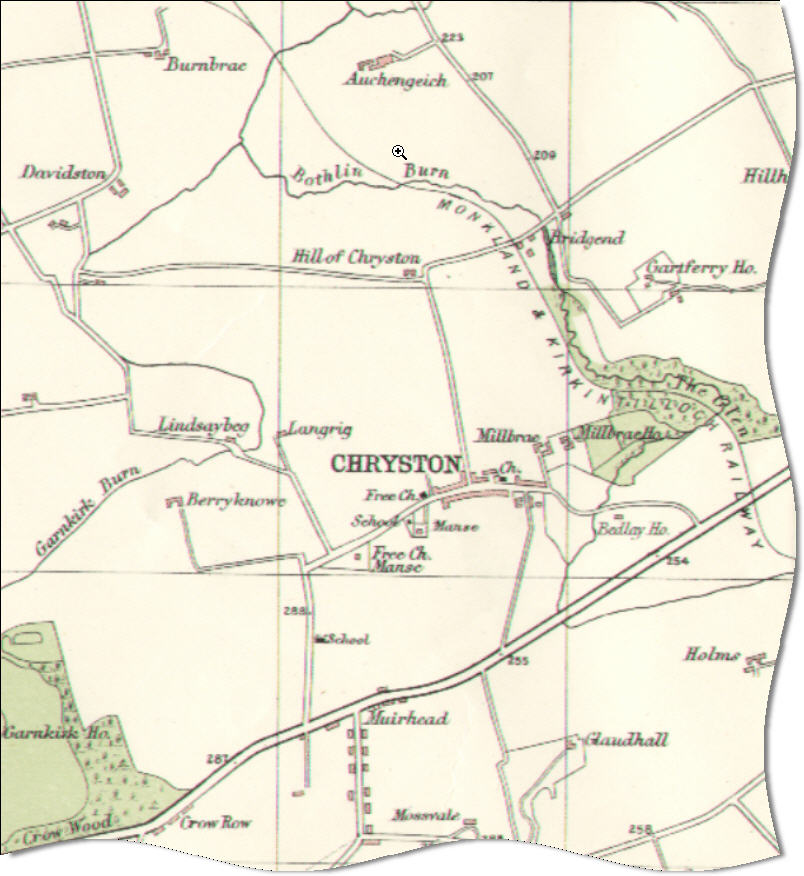
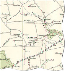 Map of Chryston in 1923
The village lies north of Muirhead, seven miles east of Glasgow - the exact boundary between the two villages is difficult to find. Geographically, Moodiesburn is often included in the Chryston district (Devro headquarters, located in Moodiesburn, has Chryston as its official address); as with Muirhead, children born of Moodiesburn citizens have Chryston as their birth district on their birth certificate.
Chryston Parish Church serves the villages of Chryston, Moodiesburn and Muirhead and has churches in Chryston and Moodiesburn.
On Friday 18 September, 1959, 47 miners lost their lives in the Auchengeich mining disaster at nearby Auchengeich Colliery.
Chryston High School is a six-year non-denominational secondary school situated on Lindsaybeg Road.
See also
External links
Coordinates: 55°54′N 4°06′W / 55.9°N 4.1°W
Principal Towns (Over 10,000) 
Other towns and villages Allanton · Auchinloch · Annathill · Banton · Bargeddie · Bonkle · Cambusnethan · Cardowan · Calderbank · Caldercruix · Carfin · Carnbroe · Chapelhall · Chryston · Cleland · Forrestfield · Garrion Bridge · Gartcosh · Glenboig · Harthill · Holytown · Longriggend · Mollinsburn · Moodiesburn · Mossend · Muirhead · Newarthill · Newhouse · Newmains · New Stevenston · Overtown · Plains · Queenzieburn · Ravenscraig · Riggend · Salsburgh · Shotts · Stepps · ViewparkPlaces of interest Airdrie Public Observatory · Bedlay Castle · Carfin Grotto · Clyde Valley · Dalzell House · Dalziel Park · Drumpellier · M&Ds · Newhouse Research Site · Ravenscraig Regional Sports Facility · Summerlee, Museum of Scottish Industrial Life · Strathclyde Country Park ·Categories:- Villages in North Lanarkshire
Wikimedia Foundation. 2010.