- Mallig, Isabela
-
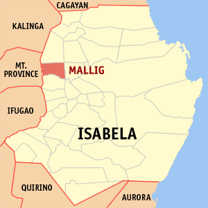
Mallig — Municipality — Map of Isabela showing the location of Mallig.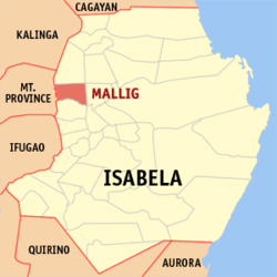 Location in the Philippines
 Mallig
Coordinates: 17°12′N 121°37′E / 17.2°N 121.617°ECoordinates: 17°12′N 121°37′E / 17.2°N 121.617°E Country  Philippines
Region Cagayan Valley (Region II) Province Isabela District 2nd District, Isabela Founded Barangays 18 Government - Mayor Edward S. Isidro Area - Total 133.40 km2 (51.5 sq mi) Population (2007) - Total 27,245 - Density 204.2/km2 (529/sq mi) Time zone PST (UTC+8) ZIP code 3323 Income class 4th class; rural Population Census of Mallig Census Pop. Rate 1995 23,344 — 2000 25,918 2.27% 2007 27,245 0.69% Mallig is a 4th class municipality in the province of Isabela, Philippines. Mallig borders in the west with the town of Paracelis, Mountain.
According to the latest census, it has a population of 27,245 people in 5,064 households.
Contents
History
Mallig was formed into a town in 1952. The territory comprising Mallig was taken from different neighboring towns:
- from Roxas: barrios of Holy Friday, San Jose (East), and San Jose (West)
- from Ilagan: barrios of Casili, Olango Primero, Olango Segundo, San Jose Nuevo, and Manano
- from Tumauini: barrios of Barucbuc, Siempre Viva, Bimmonton, Pasurgong, Manga, and Settlement No. 1
- from Sto. Tomas: barrios of Abut and Minagbag[1]
Barangays
Mallig is politically subdivided into 18 barangays.
- San Pedro (Barucbuc Sur)
- Bimonton
- Casili
- Centro I (Pob.)
- Holy Friday
- Maligaya
- Manano
- Olango
- Centro II (Pob.)
- Rang-ayan
- San Jose Norte I
- San Jose Sur
- Siempre Viva Norte
- Trinidad
- Victoria
- San Jose Norte II
- San Ramon
- Siempre Viva Sur
References
- ^ "An Act Creating the Municipality of Mallig in the Province of Isabela". LawPH.com. http://lawph.com/statutes/ra678.html. Retrieved 2011-04-09.
External links
- Philippine Standard Geographic Code
- 1995 Philippine Census Information
- 2000 Philippine Census Information
- 2007 Philippine Census Information
- Municipality of Mallig
Municipalities Alicia • Angadanan • Aurora • Benito Soliven • Burgos • Cabagan • Cabatuan • Cordon • Delfin Albano • Dinapigue • Divilacan • Echague • Gamu • Ilagan • Jones • Luna • Maconacon • Mallig • Naguilian • Palanan • Quezon • Quirino • Ramon • Reina Mercedes • Roxas • San Agustin • San Guillermo • San Isidro • San Manuel • San Mariano • San Mateo • San Pablo • Santa Maria • Santo Tomas • TumauiniComponent city CauayanIndependent component city Santiago
(Administratively independent from the province, but grouped under Isabela by the National Statistics Office)Categories:- Municipalities of Isabela

Wikimedia Foundation. 2010.