- Mount Storm King
-
This article is about the mountain in Clallam County, Washington. For mountains with similar names, see Storm King Mountain.
Mount Storm King 
Elevation 4500+ ft (1372+ m) NGVD 29[1] Prominence 750 ft (229 m) [1] Location Clallam County, Washington, USA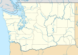
 Mount Storm King
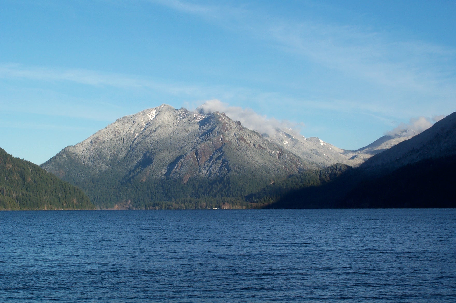
Range Olympic Mountains Coordinates 48°03′21″N 123°44′27″W / 48.055708811°N 123.740815125°WCoordinates: 48°03′21″N 123°44′27″W / 48.055708811°N 123.740815125°W[2] Topo map USGS Lake Sutherland Climbing Easiest route Mount Storm King trail, class 3 Mount Storm King is located within the Olympic National Park about 20 miles west of Port Angeles, Washington. The mountain is located on the south side of Lake Crescent near Barnes Point, and has an elevation of 4,537 feet (1,383 m).
The trail to the summit starts near the Storm King Ranger Station, and initially follows the trail to Marymere Falls but branches to the north after a short distance. The first 1.9 miles (3.1 km) miles is on maintained trail but the rest of the climb involves scrambling on loose rock with some exposure.[3]
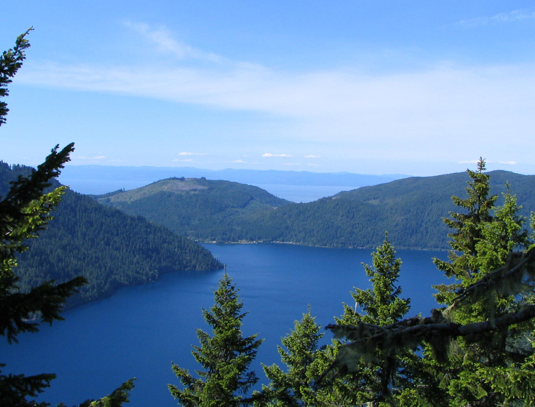
 Taken June, 2006 on the summit trail. Lake Crescent is visible in the foreground, the Strait of Juan de Fuca in the background just over seven miles distant.
References
- ^ a b "Mount Storm King, Washington". Peakbagger.com. http://www.peakbagger.com/peak.aspx?pid=891.
- ^ "CON". NGS data sheet. U.S. National Geodetic Survey. http://www.ngs.noaa.gov/cgi-bin/ds_mark.prl?PidBox=TR2482.
- ^ Molvar, Erik (2008). Hiking Olympic National Park (2nd ed.). Helena, Mont: Falcon. ISBN 0762741198.
External links
- "Mount Storm King". Geographic Names Information System, U.S. Geological Survey. http://geonames.usgs.gov/pls/gnispublic/f?p=gnispq:3:::NO::P3_FID:1526599.
Categories:- Olympic National Park
- Landforms of Clallam County, Washington
- Mountains of Washington (state)
- Olympic Mountains
- Washington (state) geography stubs

Wikimedia Foundation. 2010.