- Comberford
-
Coordinates: 52°39′47″N 1°43′01″W / 52.663°N 1.717°W
Comberford
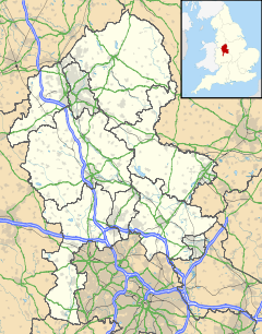
 Comberford shown within Staffordshire
OS grid reference SK192074 Parish Wigginton and Hopwas District Lichfield Shire county Staffordshire Region West Midlands Country England Sovereign state United Kingdom Post town TAMWORTH Postcode district B79 Dialling code 01827 Police Staffordshire Fire Staffordshire Ambulance West Midlands EU Parliament West Midlands UK Parliament Tamworth[1] List of places: UK • England • Staffordshire Comberford is a small settlement in Staffordshire, England. It lies by the River Tame, about 4 kilometres (2 mi) north-east of Tamworth along the A513 road. Historically part of the parish of Wigginton, it is now within the Wigginton and Hopwas civil parish in the district of Lichfield.
There is an Anglican church in the village, dedicated to St Mary and St George[2][3].
References
- ^ "United Kingdom Parliament". http://www.parliament.uk/. Retrieved 18 September 2009.
- ^ "Wigginton S.Mary and S.George, Comberford". http://www.achurchnearyou.com/comberford-st-mary-st-george-wiggington/. Retrieved 16 September 2009.
- ^ "Inside St Mary and St George's Church, Comberford". 9 June 2006. http://www.geograph.org.uk/photo/183414. Retrieved 16 September 2009.
External links
Categories:- Villages in Staffordshire
- Lichfield
- Staffordshire geography stubs
Wikimedia Foundation. 2010.

