- Manawa, Wisconsin
-
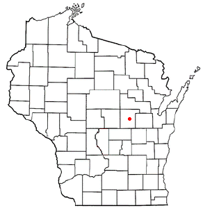
Manawa, Wisconsin — City — Location of Manawa, Wisconsin
Coordinates: 44°27′38″N 88°55′9″W / 44.46056°N 88.91917°WCoordinates: 44°27′38″N 88°55′9″W / 44.46056°N 88.91917°W Country United States State Wisconsin County Waupaca Area – Total 1.8 sq mi (4.6 km2) – Land 1.7 sq mi (4.3 km2) – Water 0.1 sq mi (0.3 km2) Elevation[1] 817 ft (249 m) Population (2000) – Total 1,330 – Density 796.7/sq mi (307.6/km2) Time zone Central (CST) (UTC-6) – Summer (DST) CDT (UTC-5) Area code(s) 920 FIPS code 55-48350[2] GNIS feature ID 1568931[1] 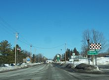 Looking north at Manawa
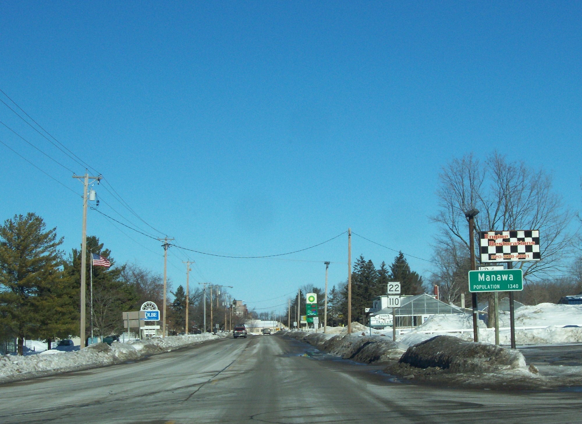
Manawa is a city in Waupaca County, Wisconsin, United States. The population was 1,330 at the 2000 census.
Contents
Geography
Manawa is located at 44°27′38″N 88°55′9″W / 44.46056°N 88.91917°W (44.460563, -88.919253).[3]
According to the United States Census Bureau, the city has a total area of 1.8 square miles (4.6 km²), of which, 1.7 square miles (4.3 km²) of it is land and 0.1 square miles (0.3 km²) of it (6.18%) is water.
Demographics
As of the census[2] of 2000, there were 1,330 people, 530 households, and 324 families residing in the city. The population density was 796.7 people per square mile (307.5/km²). There were 570 housing units at an average density of 341.4 per square mile (131.8/km²). The racial makeup of the city was 99.10% White, 0.08% African American, 0.38% Native American, 0.08% Asian, and 0.38% from two or more races. Hispanic or Latino of any race were 1.35% of the population.
There were 530 households out of which 30.9% had children under the age of 18 living with them, 50.2% were married couples living together, 7.0% had a female householder with no husband present, and 38.7% were non-families. 34.2% of all households were made up of individuals and 19.6% had someone living alone who was 65 years of age or older. The average household size was 2.41 and the average family size was 3.16.
In the city the population was spread out with 27.4% under the age of 18, 6.5% from 18 to 24, 27.6% from 25 to 44, 17.2% from 45 to 64, and 21.4% who were 65 years of age or older. The median age was 37 years. For every 100 females there were 91.1 males. For every 100 females age 18 and over, there were 89.0 males.
The median income for a household in the city was $34,500, and the median income for a family was $52,656. Males had a median income of $34,886 versus $22,969 for females. The per capita income for the city was $16,886. About 5.6% of families and 9.8% of the population were below the poverty line, including 12.8% of those under age 18 and 12.6% of those age 65 or over.
History
The city of Manawa grew up south of a sawmill built on the Little Wolf River in 1871 by J.M. and Harley Rounds and Robert Pugmire. The river was bridged in three places by the 1880s, making Manawa a focus of all traffic through the town. The timbered bridge at the sawmill was replaced with a steel truss bridge in 1902. About a mile downstream, the railroad crossed the river on a plate girder bridge, and barely a half-mile below the railroad trestle, the lower bridge, originally built of lumber, was replaced by a three-arch stone bridge in 1902.
The city was cradled in the lower crook of the reverse-S made by the river, with the streets of the city laid out in three distinct parts. A northern part in sixteen blocks was drawn just south of the sawmill and became the central business district through most of the city's life. A central sliver of just barely eight blocks, a mix of businesses and residences, lay on the south side of the railroad. And to the south, a square of twenty blocks was laid out around the river crossing about a half-mile below the railroad. Although this was the largest part of Manawa to be platted, and appeared to be laid out as the civic center of the city, complete with a town square, it fell into decline, and only in more modern times has begun to grow again.
For a short time after the post office opened in 1872, under the postmaster Elbert Scott, the city was known as Elberton. The name Manawa was formally adopted in 1874. According to local folklore, "Manawa" means "long bow," and was the name of a Native American killed in a duel near the lower river crossing.
Manawa was only very sparsely settled before 1860. Before that, most residents of the town clustered in the area known as Little Wolf, Wisconsin.
Education
The School District of Manawa, which serves the city of Manawa, at one time operated only rural schools. The district had one rural school for kindergarten in Symco. It was reorganized on October 25, 1962. It now consists of The Elementary School (Pre-School - 6th grade) and Little Wolf Junior-Senior High School (7th - 12th.)
A school built on Depot Street in 1920 was added to and remodeled six times. In 1969, following a fire that destroyed part of that school, the Little Wolf High School was built. The school's mascot is a wolf.
Sports available in the schools include football, basketball, wrestling, volleyball, softball, baseball, track, bowling, and golf. Cheerleading is also available, but only for children in third through sixth grade. The pee-wee junior (black & black A), pee-wee (white), and Pop Warner (red) football team (3rd - 6th grade) is called the Manawa Cowboys, while the 7th through 12th grade football team is the Manawa "The Big Bad" Wolves (black and red). The school colors are red, black, and white.
There is also a parochial school, St. Paul Lutheran School and Church, which serves preschool through 8th grade. Connected to St. Paul's is a day care center, Little Lambs Child Care.
Events
Manawa hosts a Midwestern Rodeo that is held every year in July, and consists of a rodeo Independence Day parade and four rodeo performances.
The Rodeo dates for 2012 are: June 29, June 30, and July 1.
2013 dates: July 5-6-7
2014 dates: July 4-5-6
2015 dates: July 3-4-5
The slogan for the rodeo is "It's Big - It's Wild - It's Western!"
Notable people
- Ed Bruyette, outfielder in Major League Baseball
- Melvin O. Handrich, Medal of Honor
- Joseph McCarthy, U.S. Senator, graduated from Little Wolf High School in Manawa.[4]
- Reid F. Murray, U.S. Representative
- Clarence Sturm, International Lion's Club President, 1959-1960
References
- ^ a b "US Board on Geographic Names". United States Geological Survey. 2007-10-25. http://geonames.usgs.gov. Retrieved 2008-01-31.
- ^ a b "American FactFinder". United States Census Bureau. http://factfinder.census.gov. Retrieved 2008-01-31.
- ^ "US Gazetteer files: 2010, 2000, and 1990". United States Census Bureau. 2011-02-12. http://www.census.gov/geo/www/gazetteer/gazette.html. Retrieved 2011-04-23.
- ^ http://www.myhistorymuseum.org/mccarthy/student.htm
External links
- Manawa Chamber of Commerce
- Sturm Memorial Library, Manawa, Wisconsin
- School District of Manawa
- St. Paul Lutheran Church and School
- Manawa Mid-Western Rodeo Annual Event
- Manawa Police Department
Municipalities and communities of Waupaca County, Wisconsin Cities Clintonville | Manawa | Marion‡ | New London‡ | Waupaca | Weyauwega

Villages Big Falls | Embarrass | Fremont | Iola | Ogdensburg | Scandinavia
Towns Bear Creek | Caledonia | Dayton | Dupont | Farmington | Fremont | Harrison | Helvetia | Iola | Larrabee | Lebanon | Lind | Little Wolf | Matteson | Mukwa | Royalton | Scandinavia | St. Lawrence | Union | Waupaca | Weyauwega | Wyoming
CDPs Chain O' Lakes | King | Northport
Unincorporated
communitiesFootnotes ‡This populated place also has portions in an adjacent county or counties
Categories:- Cities in Wisconsin
- Populated places in Waupaca County, Wisconsin


Wikimedia Foundation. 2010.