Obabika Old-Growth Forest — is an Eastern White Pine and Red Pine dominated old growth forest at the north end of Obabika Lake, just west of the Temagami region of Ontario, Canada. At 2,400 hectares (5,900 acres) in size, is commonly considered to be the largest remaining… … Wikipedia
Obabika River — Coordinates: 46°57′39″N 80°26′40″W / 46.96083°N 80.44444°W / 46.96083; 80.44444 … Wikipedia
Sturgeon River (Lake Nipissing) — The Sturgeon River is a km to mi|177|precision=0 long river that springs near Lady Evelyn Smoothwater Provincial Park in the Timiskaming District in Ontario, Canada. It flows in a south easterly direction through Sudbury and Nipissing Districts… … Wikipedia
Ontario Highway 805 — Highway 805 Route information Maintained by Ministry of Transportation of Ontario Length: 52.5 km … Wikipedia
Temagami, Ontario — Temagami is a region and a municipality in northeastern Ontario, Canada, in the District of Nipissing with Lake Temagami at its heart.According to the 2006 Statistics Canada Census for the Municipality of Temagami: *Population: 934 *% Change… … Wikipedia
List of old growth forests — This is a list of existing old growth ( virgin ) forests, or remnants of forest. (NB: The terms old growth and virgin may have various definitions and meanings throughout the world. See old growth forest for more information.)EurasiaBelarus*… … Wikipedia
Parcs provinciaux de l'Ontario — Liste des parcs provinciaux de l Ontario[1]. Ils sont gérés par l agence Parcs Ontario, du ministère des Richesses naturelles. En 2008, il y avait 330 parcs provinciaux et réserves naturelles provinciales[2]. Ils couvrent une superficie de… … Wikipédia en Français
List of protected areas of Ontario — This is a list of protected areas of Ontario. Algonquin Provincial Park, Cache Lake … Wikipedia
List of Ontario parks — This is the list of all national and provincial parks in Ontario, Canada.National parksParks administered by Parks Canada: *Bruce Peninsula National Park *Fathom Five National Marine Park *Georgian Bay Islands National Park *Point Pelee National… … Wikipedia
Parcs de l'Ontario — Parcs provinciaux de l Ontario Liste des parcs provinciaux de l Ontario[1]. Ils sont gérés par l agence Parcs Ontario, du ministère des Richesses naturelles. Sommaire : Haut A B C D E F G H I J K L M N O P Q R S T … Wikipédia en Français

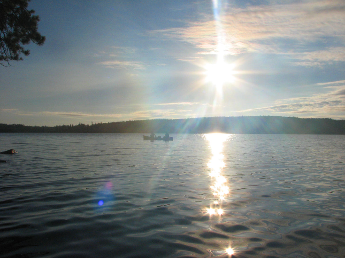
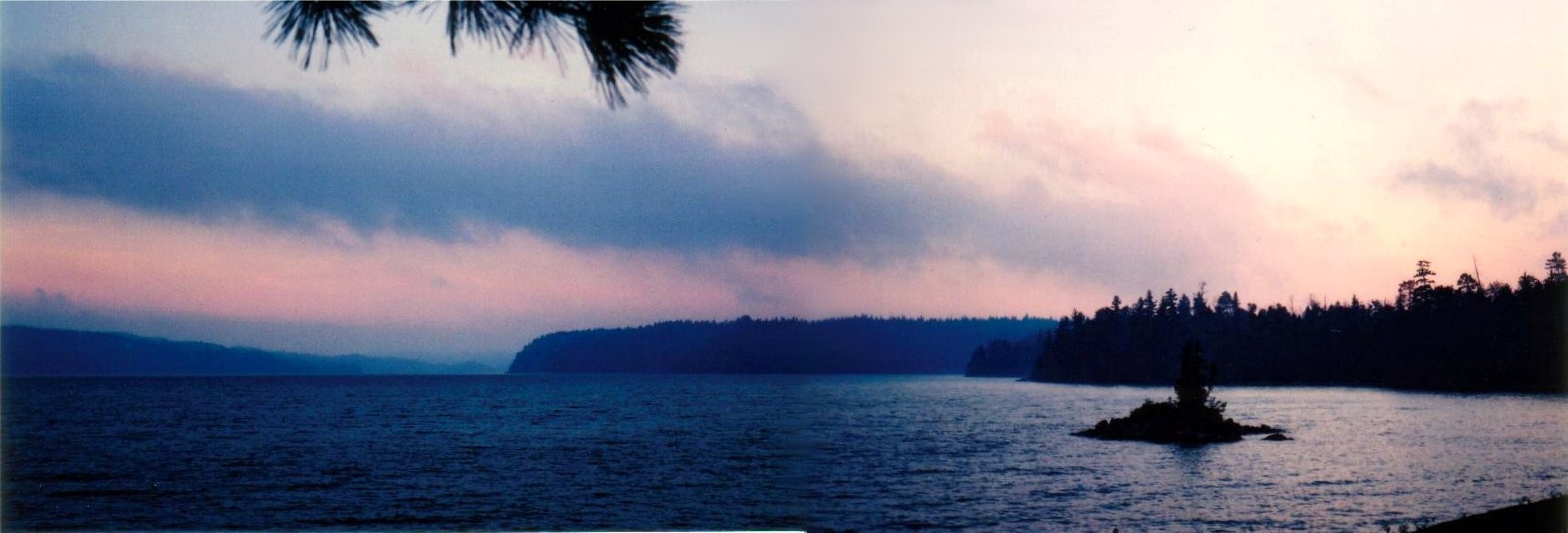
 Sunset over Obabika Lake
 Categories: