Obabika River

Obabika River
Obabika River
Country Canada
Province Ontario
Region Sudbury District
Tributaries
 - left Wawiagama River
 - right Nasmith Creek
Source Obabika Lake
 - coordinates 47°06′30″N 80°18′15″W / 47.10833°N 80.30417°W / 47.10833; -80.30417
Mouth Sturgeon River
 - coordinates 46°57′39″N 80°26′40″W / 46.96083°N 80.44444°W / 46.96083; -80.44444

The Obabika River is located in central Ontario, Canada. It is south of Lady Evelyn-Smoothwater Provincial Park and west of Lake Temagami, within Sudbury District. It flows from Obabika Lake in a south-westerly direction and drains into the Sturgeon River. The Obabika River is remote and completely surrounded by undeveloped wilderness.

The river is characterized by long meandering sections through clay and sand valleys alternated by sections through eroded bedrock and marshes. Although the current is strong, there are no note-worthy rapids.

Obabika River Waterway Provincial Park
IUCN Category II (National Park)
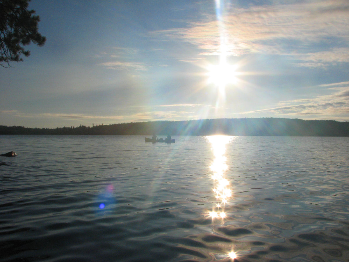
Obabika Lake.jpg
Canoeists at sunrise on Obabika Lake
Location Ontario, Canada
Nearest city Temagami, Ontario
Area 205.20 km2 (79.23 sq mi)
Established 1989
Governing body Ontario Parks

Obabika River Waterway Provincial Park

The full length of the Obabika River is protected by and within the boundaries of the Obabika River Waterway Provincial Park. This park was created in 1989 and expanded in 2002 to 205 square kilometres. Like most other waterway parks in Ontario, there are no services provided other than portage and campsite maintenance. Therefore this park is suitable for backcountry canoeing, nature exploration and wildlife viewing.

In addition to the waters and shores of the Obabika River, the park also includes portions south of Lady Evelyn Lake and the Obabika Old-Growth Forest bordering on the north side of Obabika Lake, straddling across the boundaries of the Sudbury, Nipissing, and Timiskaming Districts.

External links


Wikimedia Foundation. 2010.

Игры ⚽ Поможем решить контрольную работу

Look at other dictionaries:

  • Obabika Old-Growth Forest — is an Eastern White Pine and Red Pine dominated old growth forest at the north end of Obabika Lake, just west of the Temagami region of Ontario, Canada. At 2,400 hectares (5,900 acres) in size, is commonly considered to be the largest remaining… …   Wikipedia

  • Obabika Lake — Location 35 km west of Temagami, Ontario Coordinates …   Wikipedia

  • Sturgeon River (Lake Nipissing) — The Sturgeon River is a km to mi|177|precision=0 long river that springs near Lady Evelyn Smoothwater Provincial Park in the Timiskaming District in Ontario, Canada. It flows in a south easterly direction through Sudbury and Nipissing Districts… …   Wikipedia

  • Ontario Highway 805 — Highway 805 Route information Maintained by Ministry of Transportation of Ontario Length: 52.5 km …   Wikipedia

  • Parcs provinciaux de l'Ontario — Liste des parcs provinciaux de l Ontario[1]. Ils sont gérés par l agence Parcs Ontario, du ministère des Richesses naturelles. En 2008, il y avait 330 parcs provinciaux et réserves naturelles provinciales[2]. Ils couvrent une superficie de… …   Wikipédia en Français

  • List of Ontario parks — This is the list of all national and provincial parks in Ontario, Canada.National parksParks administered by Parks Canada: *Bruce Peninsula National Park *Fathom Five National Marine Park *Georgian Bay Islands National Park *Point Pelee National… …   Wikipedia

  • Parcs de l'Ontario — Parcs provinciaux de l Ontario Liste des parcs provinciaux de l Ontario[1]. Ils sont gérés par l agence Parcs Ontario, du ministère des Richesses naturelles. Sommaire : Haut A B C D E F G H I J K L M N O P Q R S T …   Wikipédia en Français

  • Parcs provinciaux de l'ontario — Liste des parcs provinciaux de l Ontario[1]. Ils sont gérés par l agence Parcs Ontario, du ministère des Richesses naturelles. Sommaire : Haut A B C D E F G H I J K L M N O P Q R S T …   Wikipédia en Français

  • List of protected areas of Ontario — This is a list of protected areas of Ontario. Algonquin Provincial Park, Cache Lake …   Wikipedia

  • Sudbury District, Ontario — Infobox Settlement official name = Sudbury District other name = native name = nickname = settlement type = District motto = imagesize = image caption = Mattagami First Nation flag size = image seal size = image shield = shield size = city logo …   Wikipedia

Share the article and excerpts

Direct link
Do a right-click on the link above
and select “Copy Link”