- Wilson, Sheboygan County, Wisconsin
Infobox Settlement
official_name = Wilson, Wisconsin
settlement_type =Town
nickname =
motto =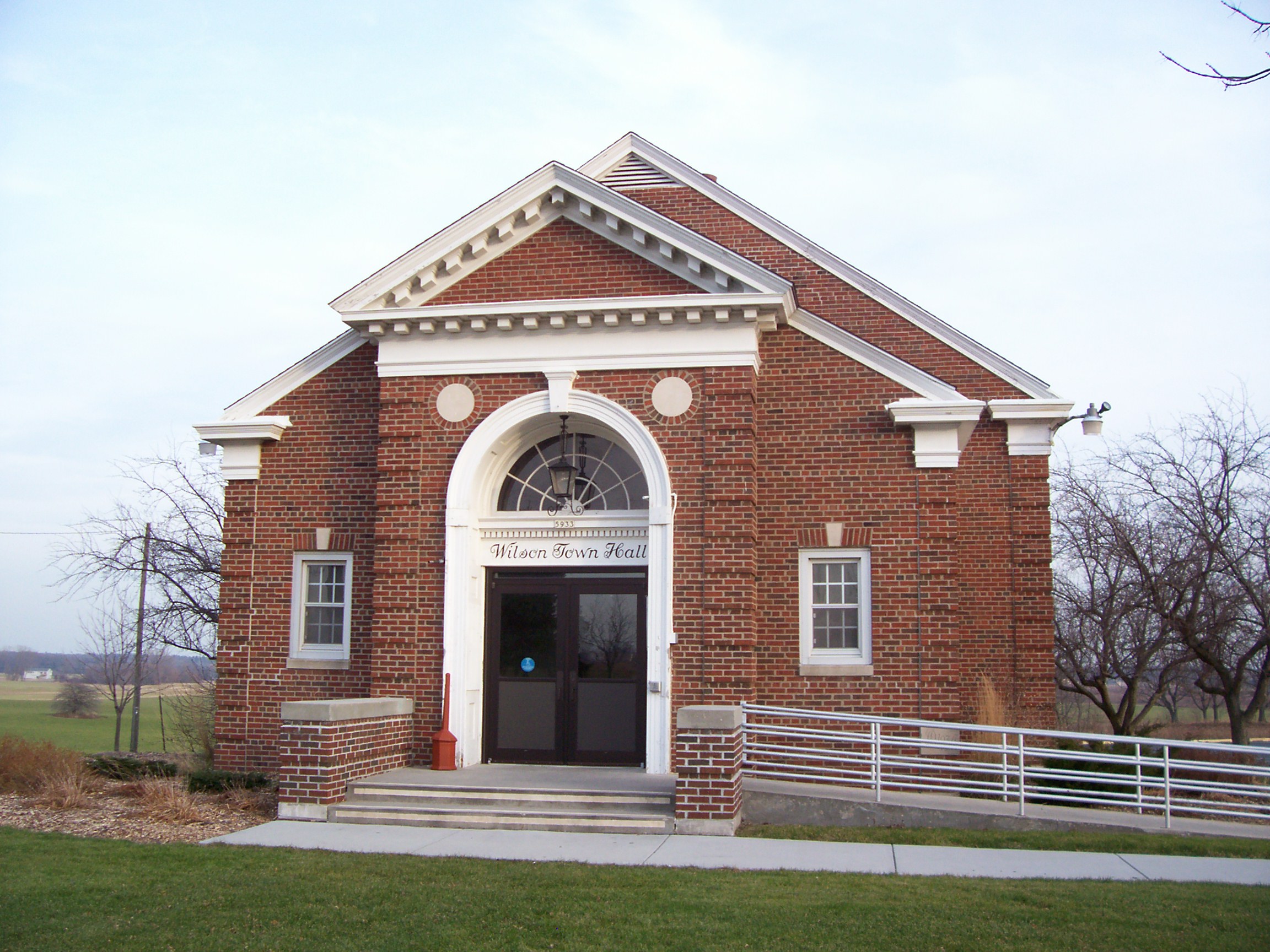
imagesize = 250px
image_caption = Wilson Town Hall
image_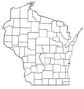
mapsize = 250px
map_caption = Location of Wilson, Wisconsin
mapsize1 =
map_caption1 =subdivision_type = Country
subdivision_name =United States
subdivision_type1 = State
subdivision_name1 =Wisconsin
subdivision_type2 = County
subdivision_name2 = Sheboygangovernment_footnotes =
government_type =
leader_title =
leader_name =
leader_title1 =
leader_name1 =
established_title =
established_date =unit_pref = Imperial
area_footnotes =area_magnitude =
area_total_km2 = 59.4
area_land_km2 = 59.3
area_water_km2 = 0.1
area_total_sq_mi = 22.9
area_land_sq_mi = 22.9
area_water_sq_mi = 0.0population_as_of = 2000
population_footnotes =
population_total = 3227
population_density_km2 = 54.4
population_density_sq_mi = 141.0timezone = Central (CST)
utc_offset = -6
timezone_DST = CDT
utc_offset_DST = -5
elevation_footnotes = GR|3
elevation_m = 213
elevation_ft = 699
latd = 43 |latm = 41 |lats = 22 |latNS = N
longd = 87 |longm = 44 |longs = 44 |longEW = Wpostal_code_type =
postal_code =
area_code =
blank_name = FIPS code
blank_info = 55-87500GR|2
blank1_name = GNIS feature ID
blank1_info = 1584448GR|3
website =
footnotes = ImageStackRight|190Wilson is a town in Sheboygan County,
Wisconsin ,United States . The population was 3,227 at the 2000 census. It is included in the Sheboygan,Wisconsin Metropolitan Statistical Area .Places
Kohler-Andrae State Park is located within the town.Geography
According to the
United States Census Bureau , the town has a total area of 22.9square mile s (59.4km² ), of which, 22.9 square miles (59.3 km²) of it is land and 0.04 square miles (0.1 km²) of it (0.17%) is water.Demographics
As of the
census GR|2 of 2000, there were 3,227 people, 1,235 households, and 974 families residing in the town. Thepopulation density was 141.0 people per square mile (54.5/km²). There were 1,323 housing units at an average density of 57.8/sq mi (22.3/km²). The racial makeup of the town was 96.81% White, 0.22% African American, 0.15% Native American, 1.36% Asian, 0.84% from other races, and 0.62% from two or more races. Hispanic or Latino of any race were 2.32% of the population.There were 1,235 households out of which 31.8% had children under the age of 18 living with them, 72.1% were married couples living together, 4.3% had a female householder with no husband present, and 21.1% were non-families. 18.3% of all households were made up of individuals and 7.5% had someone living alone who was 65 years of age or older. The average household size was 2.59 and the average family size was 2.94.
In the town the population was spread out with 24.4% under the age of 18, 5.7% from 18 to 24, 27.1% from 25 to 44, 30.3% from 45 to 64, and 12.5% who were 65 years of age or older. The median age was 42 years. For every 100 females there were 107.8 males. For every 100 females age 18 and over, there were 104.9 males.
The median income for a household in the town was $59,241, and the median income for a family was $63,523. Males had a median income of $46,091 versus $26,172 for females. The
per capita income for the town was $27,798. About 2.1% of families and 2.5% of the population were below thepoverty line , including 3.0% of those under age 18 and none of those age 65 or over.References
External links
* [http://townwilson.com Town of Wilson website]
Wikimedia Foundation. 2010.