- Hempstead Watermill
Geobox|Watermill
name = Hempstead Watermill
category = Watermill
.jpg)
image_caption =The rear of Hempstead Watermill
symbol =
country =England
state =Norfolk
region =East of England
district =North Norfolk
municipality = Holt
location = On theRiver Glaven near the town of Holt
elevation =
prominence =
lat_d =
lat_m =
lat_s =
lat_NS =
long_d =
long_m =
long_s =
long_EW =
length =
length_orientation =
width =
width_orientation =
height =
depth =
volume =
area =
author =
style =
material =
established = 1830
date =
owner = Richard John Gurney (1830)
public =
visitation =
visitation_date =
access =
free = | free_type =
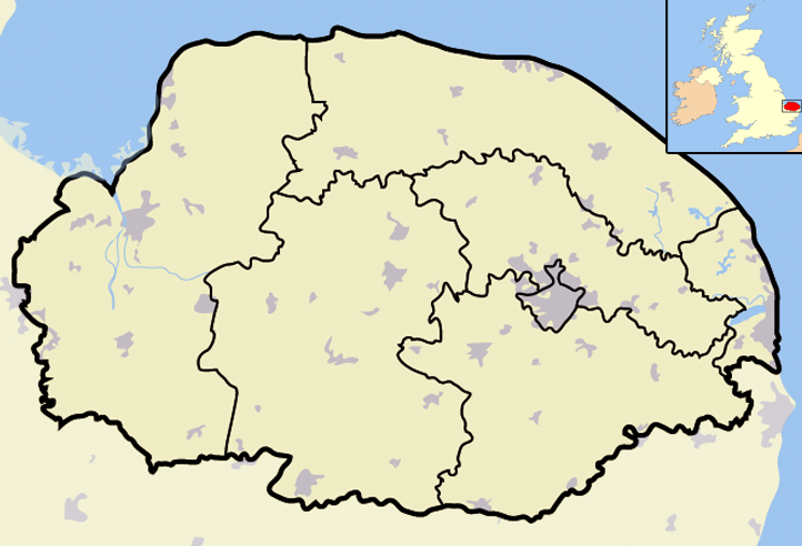
map_caption =Hempstead Watermill within North Norfolk
map_background =
map_locator =
map_locator_x =57
map_locator_y =11
website =
footnotes =Hempstead Watermill is a disused watermill 1.7 miles south east of the town of
Holt in the English county ofNorfolk . [ "OS Explorer Map 24” – Norfolk Coast Central. ISBN 0 319 21726 4 ] . The mill stands on theRiver Glaven and the lane between Holt and the village of Hempstead. The mill was built in 1830 by Richard John Gurney and was originally called Holt Watermill.Description
The watermill and its adjoining mill house are constructed from local brick and flint and the buildings have red Norfolk pantiled roofs. The river Glaven was dammed and a large mill pond stands directly behind the mill.
History
Hempstead Watermill was powered by the use of a water wheel until 1905 when the wheel was removed and replaced with a more efficient turbine. The turbine was controlled by a sluice which was also installed at the time. At the time of these changes the mill had five sources of water. They were the upper pond which was swept away in floods in 1912, Old Decoy now called Selbrigg Pond, New Decoy and Horsepit Pond. This last pond was originally the farm horse pond for near-by Red House Farm, the pond was supplemented with water that was runoff from the farm and its buildings. A sluice had been added to the pond in order to increase the water in the mill pond. Even then the mill only had enough water to run for a limit of five hours. In later years a traction engine ran the mill via a pulley wheel on the outside of the building.The watermill operated two pairs of stones, although most of the time, only one pair would be working due to lack of water. A circular timber saw blade set in a steel bench was also powered from the Turbine and was still in operation up until 1977. It was used to cut timber for the Gurney Estate. The shed that sheltered the bench has long disappeared. The watermill also included a number of cartsheds, haylofts, stables, pig sties and cowsheds.
Bakery
In 1911 a
bakery was added to the set of buildings. Thebread oven had been supplyied by T. Collins & Co ofBristol . The oven was fired using coke, as was the twentygallon capacity boiler that supplied hot water and regulated the oven.The oven had a capacity to produce 208 1lb loves and was fired up twice before deliveries went out to the surrounding population. Water for the bread making was carried by bucket from a spring on the opposite side of the road.References
Wikimedia Foundation. 2010.