- Barboursville, West Virginia
Infobox Settlement
official_name = Barboursville, West Virginia
settlement_type = Village
nickname =
motto =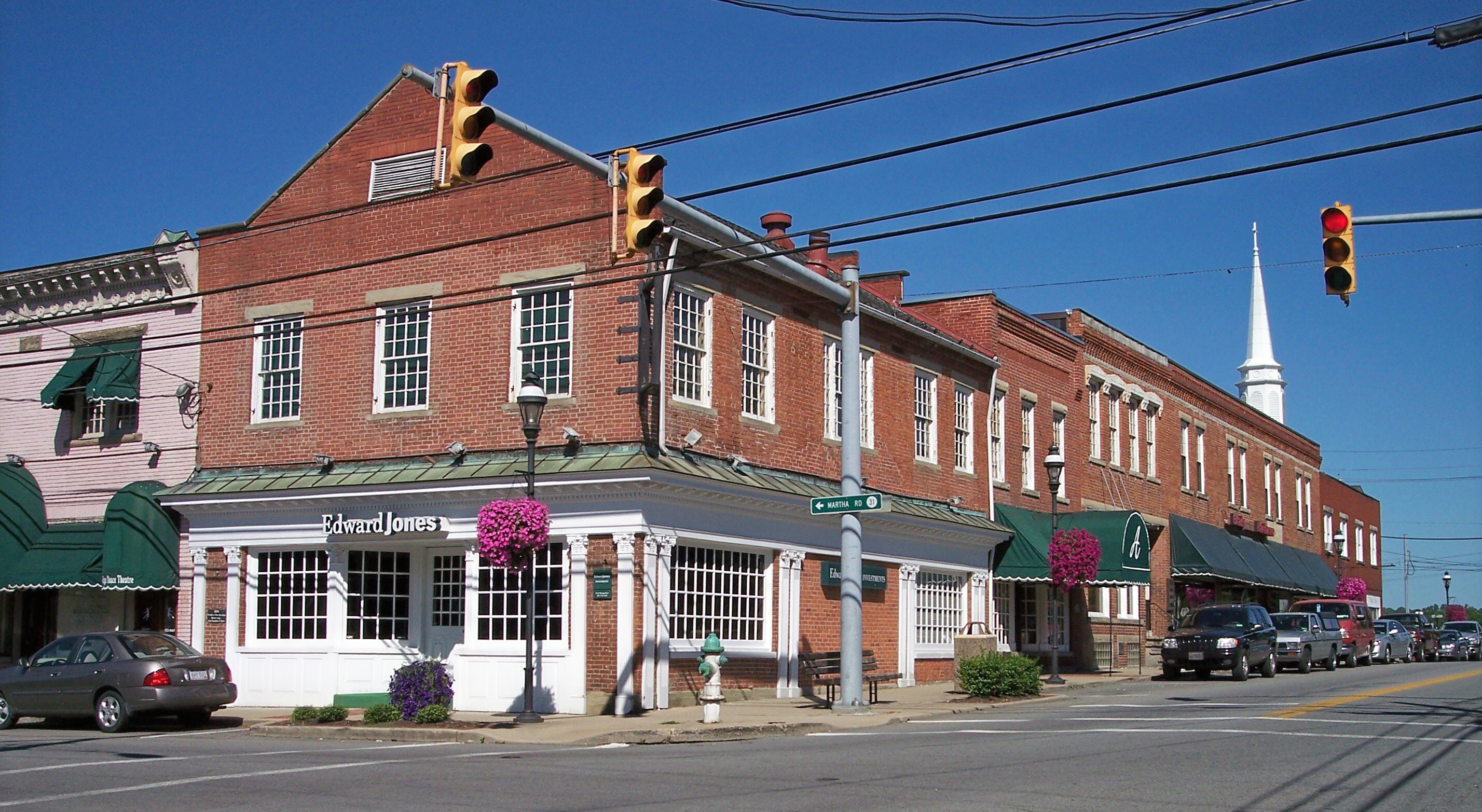
imagesize =
image_caption = Main Street in Barboursville in 2007
image_
mapsize = 250x200px
map_caption = Location of Barboursville, West Virginia
mapsize1 =
map_caption1 =subdivision_type = Country
subdivision_name =United States
subdivision_type1 = State
subdivision_name1 =West Virginia
subdivision_type2 = County
subdivision_name2 = Cabellgovernment_footnotes =
government_type =
leader_title =
leader_name =
leader_title1 =
leader_name1 =
established_title =
established_date =unit_pref = Imperial
area_footnotes =area_magnitude =
area_total_km2 = 9.7
area_land_km2 = 9.5
area_water_km2 = 0.2
area_total_sq_mi = 3.8
area_land_sq_mi = 3.7
area_water_sq_mi = 0.1population_as_of = 2000
population_footnotes =
population_total = 3183
population_density_km2 = 333.6
population_density_sq_mi = 864.1timezone = Eastern (EST)
utc_offset = -5
timezone_DST = EDT
utc_offset_DST = -4
elevation_footnotes =
elevation_m = 177
elevation_ft = 581
latd = 38 |latm = 24 |lats = 40 |latNS = N
longd = 82 |longm = 17 |longs = 52 |longEW = Wpostal_code_type =
ZIP code
postal_code = 25504
area_code = 304
blank_name = FIPS code
blank_info = 54-04276GR|2
blank1_name = GNIS feature ID
blank1_info = 1553799GR|3
website =
footnotes =Barboursville is a village in Cabell County,
West Virginia ,United States . It is located near the second largest city in the state, Huntington. The population was 3,183 at the 2000 census.Barboursville is a part of the Huntington-Ashland, WV-KY-OH,
Metropolitan Statistical Area (MSA). As of the 2000 census, the MSA had a population of 288,649.Geography
Barboursville is located at coor dms|38|24|40|N|82|17|52|W|city (38.411002, -82.297758)GR|1. According to the
United States Census Bureau , the village has a total area of 3.8square mile s (9.7km² ), of which, 3.7 square miles (9.5 km²) of it is land and 0.1 square miles (0.2 km²) of it (1.86%) is water.The confluence of the Mud River and theGuyandotte River is just north of the village.Demographics
Barboursville, WV, was established in 1813. The town was named for James Barbour, Governor of Virginia, 1812-1814. Barboursville became the county seat of Cabell County in 1814, retaining this honor until 1887, when the county seat was moved to Huntington. Barboursville today, on Interstate 64 (I-64), is a suburb of Huntington.
As of the
census GR|2 of 2000, there were 3,183 people, 1,365 households, and 877 families residing in the village. Thepopulation density was 864.1 people per square mile (334.0/km²). There were 1,465 housing units at an average density of 397.7/sq mi (153.7/km²). The racial makeup of the village was 97.77% White, 0.82% African American, 0.16% Native American, 0.60% Asian, 0.06% Pacific Islander, 0.06% from other races, and 0.53% from two or more races. Hispanic or Latino of any race were 0.72% of the population.There were 1,365 households out of which 25.9% had children under the age of 18 living with them, 51.1% were married couples living together, 10.5% had a female householder with no husband present, and 35.7% were non-families. 31.2% of all households were made up of individuals and 14.1% had someone living alone who was 65 years of age or older. The average household size was 2.25 and the average family size was 2.82.
In the village the population was spread out with 19.4% under the age of 18, 9.9% from 18 to 24, 26.1% from 25 to 44, 27.2% from 45 to 64, and 17.5% who were 65 years of age or older. The median age was 42 years. For every 100 females there were 94.4 males. For every 100 females age 18 and over, there were 90.7 males.
The median income for a household in the village was $35,139, and the median income for a family was $45,167. Males had a median income of $32,952 versus $26,469 for females. The
per capita income for the village was $19,848. About 5.4% of families and 10.0% of the population were below thepoverty line , including 8.5% of those under age 18 and 7.1% of those age 65 or over.Commerce
Barboursville is home to the
Huntington Mall , the largest shopping complex in West Virginia.Emergency services
Thanks to the tax base afforded by the
Huntington Mall , the Village of Barboursville can afford a high degree of police protection. Fire services are provided by a volunteer fire department. Medical transport is provided by the county EMS. There are two hospitals in the nearby City of Huntington, St. Mary's and Cabell Huntington.Education
Young people in Barboursville are educated by the schools of the
Cabell County Board of Education. In 1994 the Board consolidated most of its schools into a few large facilities. Primary education is given at Village of Barboursville Elementary, which is consolidated of Pea Ridge Elementary and Barboursville Elementary. Middle School students attend Barboursville Middle School,currently under construction. High school students began attending Cabell Midland High School, a facility resulting from the consolidation of Barboursville High School and Milton High School, in the fall of 1994.Cabell Midland High School is in Ona, about five miles east of Barboursville.Landmarks
There is a "trail" through Barboursville that showcases many of its historic buildings. One such structure is an old toll house dating to the pre Civil War era. Other landmarks include the Veterans' Home, Barboursville Elementary and Middle Schools, and Barboursville Park, which serves as a popular recreation area for residents of the area.Barboursville is located near US Route 60, which follows the route of the historic
Midland Trail .Traditions
Barboursville has a "fall fest" each year. This was formerly known as
Oktoberfest , after the German model. A temporary fair-ground is set up across theGuyandotte River on the old Sadler field before the bridge into the town and offers a variety of amusements for the locals. Along with fall fest, Barboursville as a parade to begin the activities.References
External links
Wikimedia Foundation. 2010.