- Delano, Nevada
-
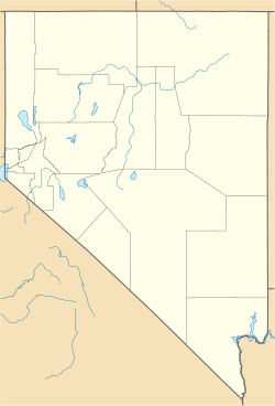
Delano — Ghost town — Location within the state of Nevada Coordinates: 41°40′04″N 114°16′25″W / 41.66778°N 114.27361°WCoordinates: 41°40′04″N 114°16′25″W / 41.66778°N 114.27361°W Country United States State Nevada County Elko Elevation 6,398 ft (1,950 m) Time zone Pacific (PST) (UTC-8) – Summer (DST) PDT (UTC-7) ZIP codes FIPS code GNIS feature ID Delano is a ghost town located in northeastern Elko County, Nevada, about 36 miles north of Montello. Delano was the center of a small gold-mining district that saw production from the 1870s to the 1960s. The post office closed in 1927.
The remaining buildings at Delano were destroyed by a range fire in the 1990s, and only archaeological remains survive at the site today.
Geography
Delano is at an elevation of 6398 feet (1950 m).
Municipalities and communities of Elko County, Nevada Cities Carlin | Elko | Wells | West Wendover
CDPs Unincorporated
communitiesArthur | Bullion | Cobre | Contact | Currie | Deeth | Delano | Dinner Station | Halleck | Hunter | Jack Creek | Jackpot | Jarbidge | Jiggs | Lamoille | Lee | Metropolis | Midas | Montello | Mountain City | North Fork | Oasis | Osino | Patsville | Pequop | Ryndon | San Jacinto | Shafter | Shantytown | South Fork | Thousand Springs | Tuscarora | Twin Bridges | Welcome | Wild Horse
Indian reservation Categories:- Ghost towns in Elko County, Nevada
- Nevada geography stubs
- United States ghost town stubs
Wikimedia Foundation. 2010.


