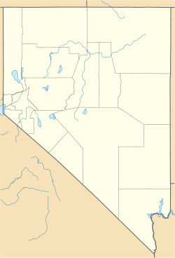
- Oasis, Nevada
-
Oasis — Unincorporated community — Location within the state of Nevada Coordinates: 41°01′43″N 114°29′13″W / 41.02861°N 114.48694°WCoordinates: 41°01′43″N 114°29′13″W / 41.02861°N 114.48694°W Country United States State Nevada County Elko Time zone Pacific (PST) (UTC-8) – Summer (DST) PDT (UTC-7) ZIP codes FIPS code GNIS feature ID Oasis is an unincorporated community located in eastern Elko County, Nevada (USA), at the junction of State Route 233 and Interstate 80, approximately 40 miles (64 km) west of the Nevada border with the state of Utah. Built along the Central Pacific Railroad (now Union Pacific Railroad), the tracks run along the north side of town. A high desert community located in the Goshute Valley between the Pequop Mountains and the Toano Range at an elevation of approximately 5,860 feet (1,786 m).
The community is part of the Elko Micropolitan Statistical Area.
State offices
- Nevada Department of Forestry[1]
- Nevada Department of Transportation, Pequop Maintenance Station[1]
References
- ^ a b "Misc Government in Oasis, Nevada (nv)". http://www.userinstinct.com/nv/oasis/4864191-misc-government.htm. Retrieved 2009-12-07.
Municipalities and communities of Elko County, Nevada Cities Carlin | Elko | Wells | West Wendover
CDPs Unincorporated
communitiesArthur | Bullion | Cobre | Contact | Currie | Deeth | Delano | Dinner Station | Halleck | Hunter | Jack Creek | Jackpot | Jarbidge | Jiggs | Lamoille | Lee | Metropolis | Midas | Montello | Mountain City | North Fork | Oasis | Osino | Patsville | Pequop | Ryndon | San Jacinto | Shafter | Shantytown | South Fork | Thousand Springs | Tuscarora | Twin Bridges | Welcome | Wild Horse
Indian reservation Categories:- Unincorporated communities in Nevada
- Populated places in Elko County, Nevada
- Elko micropolitan area
- Nevada geography stubs
Wikimedia Foundation. 2010.


