- Charleston, Utah
-
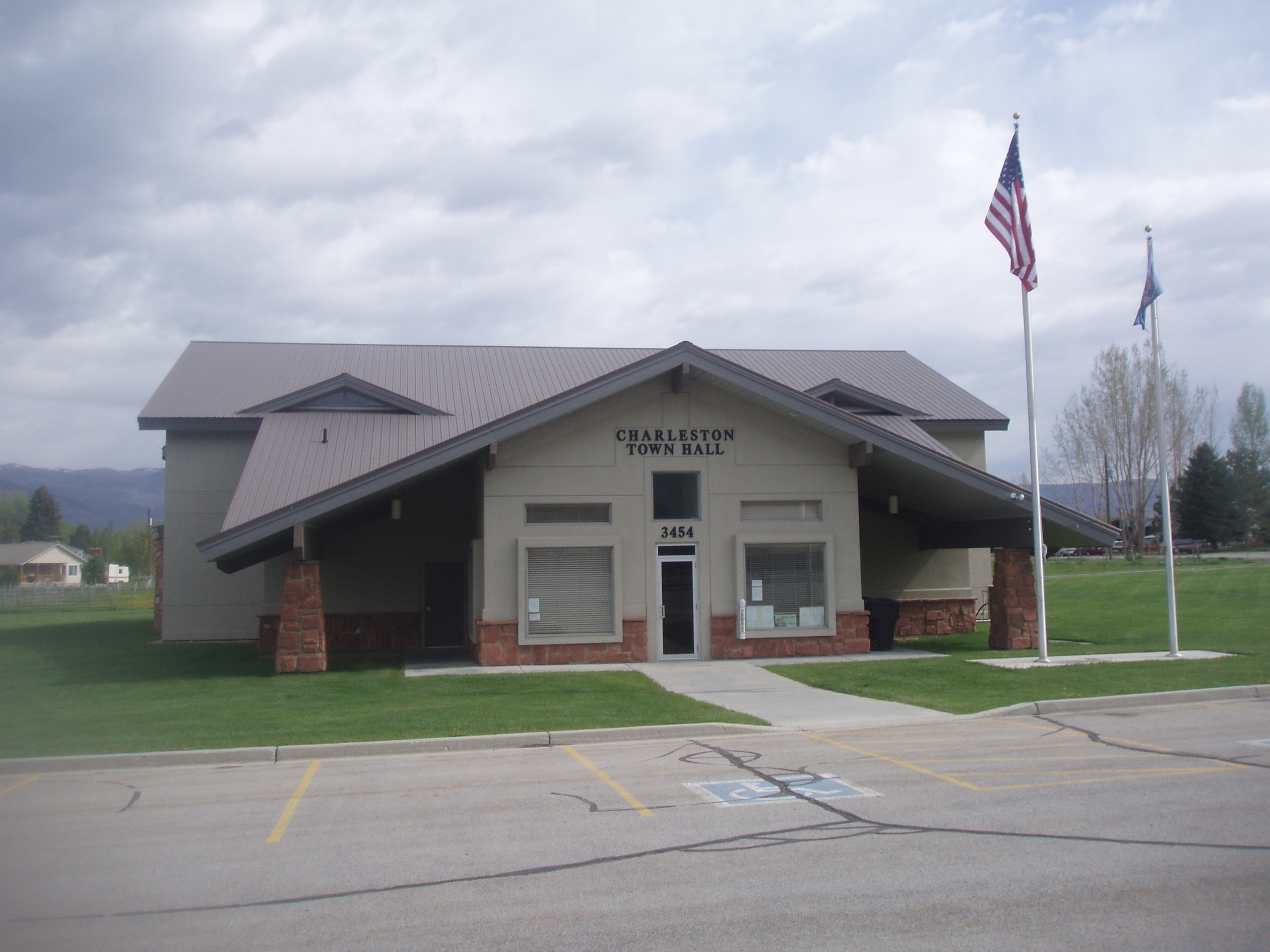
Charleston, Utah — Town — Charleston Town Hall Location of Charleston, Utah
Coordinates: 40°28′1″N 111°28′7″W / 40.46694°N 111.46861°WCoordinates: 40°28′1″N 111°28′7″W / 40.46694°N 111.46861°W Country United States State Utah County Wasatch Settled 1858 Founder Aaron Daniels Named for Charles Shelton Area - Total 1.9 sq mi (4.8 km2) - Land 1.7 sq mi (4.3 km2) - Water 0.2 sq mi (0.5 km2) Elevation 5,440 ft (1,658 m) Population (2000) - Total 378 - Density 225.5/sq mi (87.1/km2) Time zone Mountain (MST) (UTC-7) - Summer (DST) MDT (UTC-6) ZIP code 84032 Area code(s) 435 FIPS code 49-12420[1] GNIS feature ID 1426539[2] Charleston is a town in Wasatch County, Utah, United States. The population was 378 at the 2000 census.
Contents
Geography
Charleston is located at 40°28′1″N 111°28′7″W / 40.46694°N 111.46861°W (40.466850, -111.468680).[3]
According to the United States Census Bureau, the town has a total area of 1.9 square miles (4.9 km2), of which 1.7 square miles (4.4 km2) is land, and 0.2 square miles (0.52 km2), or 10.16%, is water.
History
In 1858, trapper Aaron Daniels moved to a place on the Provo River just north of where Charleston is today.[4]
The first farmers put in crops at Charleston in 1859, and the first house was built by William Manning late that year. Manning and George Noakes were the only residents until 1863, when a few others moved in. In 1866, there were about a dozen families, and after that, the population began to grow even faster.[4]
Noakes was the first Presiding elder in Charleston. Until 1877, the branch was part of the Heber Ward. The Charlston Ward was formed in July 1877, with Nymphus C. Murdock as bishop. The ward had 397 members in 1930, with 467 people living within the ward boundaries.[4]
Demographics
Historical populations Census Pop. %± 1880 246 — 1890 501 103.7% 1900 490 −2.2% 1910 524 6.9% 1920 361 −31.1% 1930 343 −5.0% 1940 323 −5.8% 1950 201 −37.8% 1960 223 10.9% 1970 196 −12.1% 1980 320 63.3% 1990 336 5.0% 2000 378 12.5% As of the census[1] of 2000, there were 378 people, 120 households, and 101 families residing in the town. The population density was 225.5 people per square mile (87.1/km2). There were 131 housing units at an average density of 78.2 per square mile (30.2/km2). The racial makeup of the town was 97.88% White, 0.26% African American, and 1.85% from two or more races. Hispanic or Latino of any race were 5.03% of the population.
There were 120 households out of which 48.3% had children under the age of 18 living with them, 75.0% were married couples living together, 7.5% had a female householder with no husband present, and 15.8% were non-families. Of all households 12.5% were made up of individuals and 4.2% had someone living alone who was 65 years of age or older. The average household size was 3.15 and the average family size was 3.49.
In the town the population was spread out with 33.9% under the age of 18, 7.7% from 18 to 24, 23.5% from 25 to 44, 24.1% from 45 to 64, and 10.8% who were 65 years of age or older. The median age was 37 years. For every 100 females there were 98.9 males. For every 100 females age 18 and over, there were 96.9 males.
The median income for a household in the town was $42,813, and the median income for a family was $44,063. Males had a median income of $40,125 versus $24,167 for females. The per capita income for the town was $21,836. About 2.2% of families and 3.1% of the population were below the poverty line, including 4.2% of those under age 18 and 3.6% of those age 65 or over.
References
- ^ a b "American FactFinder". United States Census Bureau. http://factfinder.census.gov. Retrieved 2008-01-31.
- ^ "US Board on Geographic Names". United States Geological Survey. 2007-10-25. http://geonames.usgs.gov. Retrieved 2008-01-31.
- ^ "US Gazetteer files: 2010, 2000, and 1990". United States Census Bureau. 2011-02-12. http://www.census.gov/geo/www/gazetteer/gazette.html. Retrieved 2011-04-23.
- ^ a b c Jenson, Andrew. Encyclopedic History of the Church of Jesus Christ of Latter-day Saints. (Salt Lake City: Deseret News Publishing Company, 1941), p. 132
External links
Municipalities and communities of Wasatch County, Utah Cities 
Towns CDP Indian
reservationGhost towns Hailstone | Keetley | Soldier Summit
Categories:- Towns in Utah
- Populated places in Wasatch County, Utah
- Populated places established in 1858

Wikimedia Foundation. 2010.