- Chic-Choc Mountains
-
Chic-Choc Mountains Range 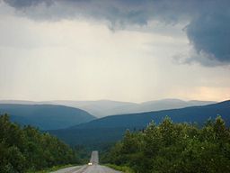
Country Canada Region Quebec Part of Notre Dame Mountains Highest point Mont Jacques-Cartier - elevation 1,268 m (4,160 ft) - coordinates 48°59′26″N 65°56′33″W / 48.99056°N 65.9425°W Length 95 km (59 mi), East-West Width 10 km (6 mi) The Chic-Choc Mountains, often called Shick Shocks in English, is a group of mountains in the central Gaspé Peninsula in Quebec, Canada. It is a part of the Notre Dame Mountains, which is a continuation of the Appalachian Mountains.[1]
They are heavily eroded, with flat tops and steep sides. Over 25 mountains have peaks higher than 1 km; the highest is Mont Jacques-Cartier at 1,268 metres (4,160 ft). Caribou can be found in the plateaus of this region. Although visited by just a few tourists, Chic-Choc Mountains became much more popular in the late 1990s as backcountry skiing gained popularity in Eastern Canada.
A network of trails, including the International Appalachian Trail, passes through these mountains. Quebec's Parc national de la Gaspésie protects most of the mountain range.
The name "Chic-Choc" comes from the Mi'kmaq word sigsôg, meaning "crags" or "rocky mountains". It has undergone many different spellings over time, including Chikchâks (1836), Shick-shock (1857), and Chick-Saws (1863).[1]
-
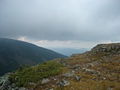
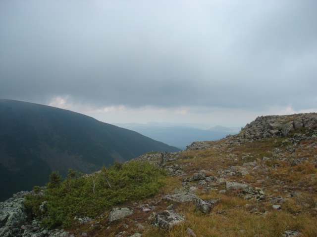
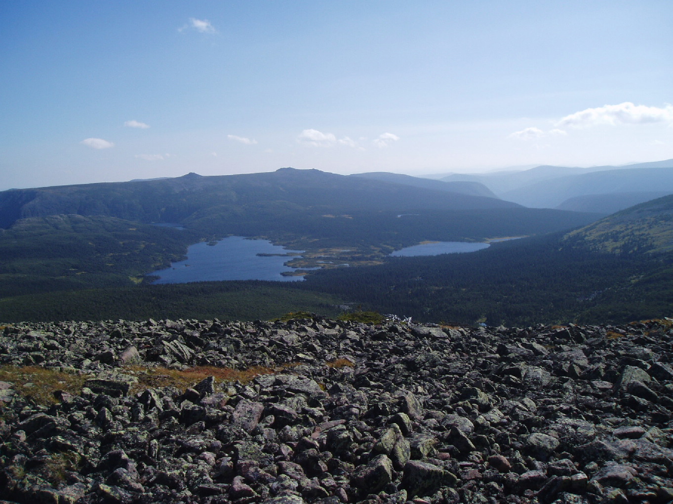
View from Mont Jacques-Cartier.
-
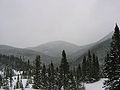
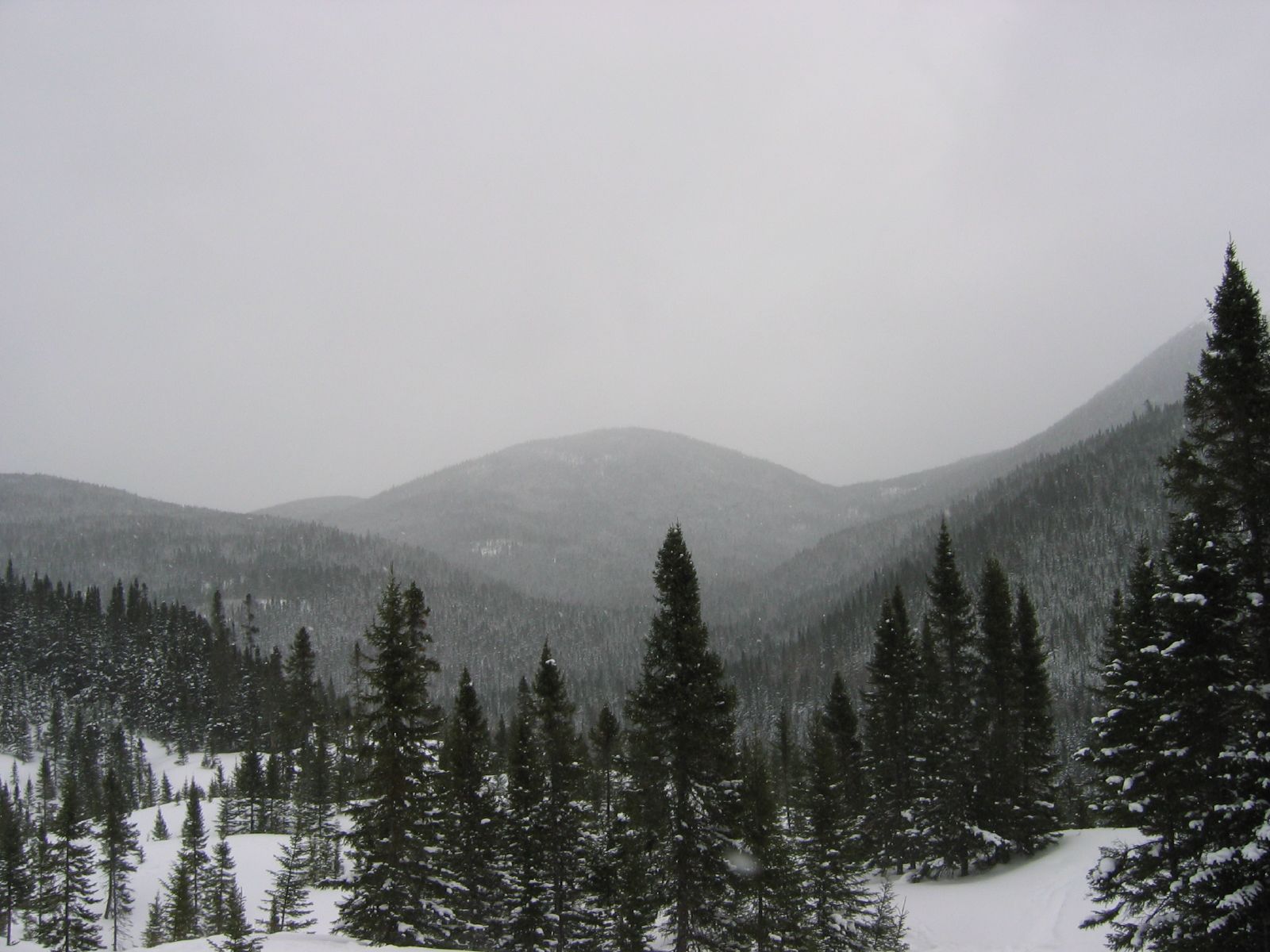
Winter in the Chic Choc Mountains
-
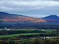
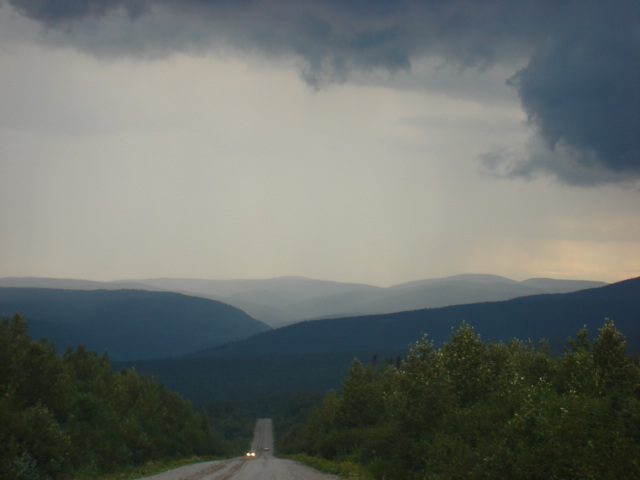
Near Sayabec
-
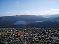
Parc de la Gaspésie
References
- ^ a b "Monts Chic-Chocs" (in French). Commission de toponymie du Québec. http://www.toponymie.gouv.qc.ca/ct/ToposWeb/fiche.aspx?no_seq=13165. Retrieved 2010-11-04.
External links
Coordinates: 48°55′N 66°00′W / 48.917°N 66°W
Categories:- Gaspé Peninsula
- Mountains of Quebec
- Mountain ranges of Quebec
- Quebec geography stubs
-

Wikimedia Foundation. 2010.