- Mont Jacques-Cartier
-
Mont Jacques‑Cartier 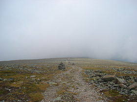
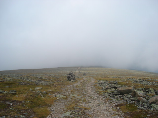
Trail leading to the summit of the mountain.Elevation 1,268 m (4,160 ft) [1] Prominence 1085 Listing Quebec 1000 meter peaks Location Location in Quebec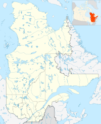
 Mont Jacques‑Cartier
Location La Haute-Gaspésie Regional County Municipality, Quebec, Canada Range Chic-Choc Mountains Coordinates 48°59′26″N 65°56′33″W / 48.99056°N 65.9425°WCoordinates: 48°59′26″N 65°56′33″W / 48.99056°N 65.9425°W[1] Topo map NTS 22A/13 Climbing Easiest route hiking Mont Jacques-Cartier is a mountain in the Chic-Choc Mountains range in eastern Quebec, Canada. At 1,268 m (4,160 ft), it is the tallest mountain in southern Quebec.
Located in the Gaspé Peninsula, the mountain is protected by the Parc national de la Gaspésie, and is host to the last remaining population of woodland caribou south of the Saint Lawrence River. The summit can be accessed by a hiking trail.
References
- ^ a b "Mont Jacques-Cartier". Bivouac.com. http://www.bivouac.com/MtnPg.asp?MtnId=158. Retrieved 2009-03-18.
Categories:- Gaspésie–Îles-de-la-Madeleine
- Mountains of Quebec
- Quebec geography stubs

Wikimedia Foundation. 2010.