- Sunbright, Tennessee
Infobox Settlement
official_name = Sunbright, Tennessee
settlement_type =City
nickname =
motto =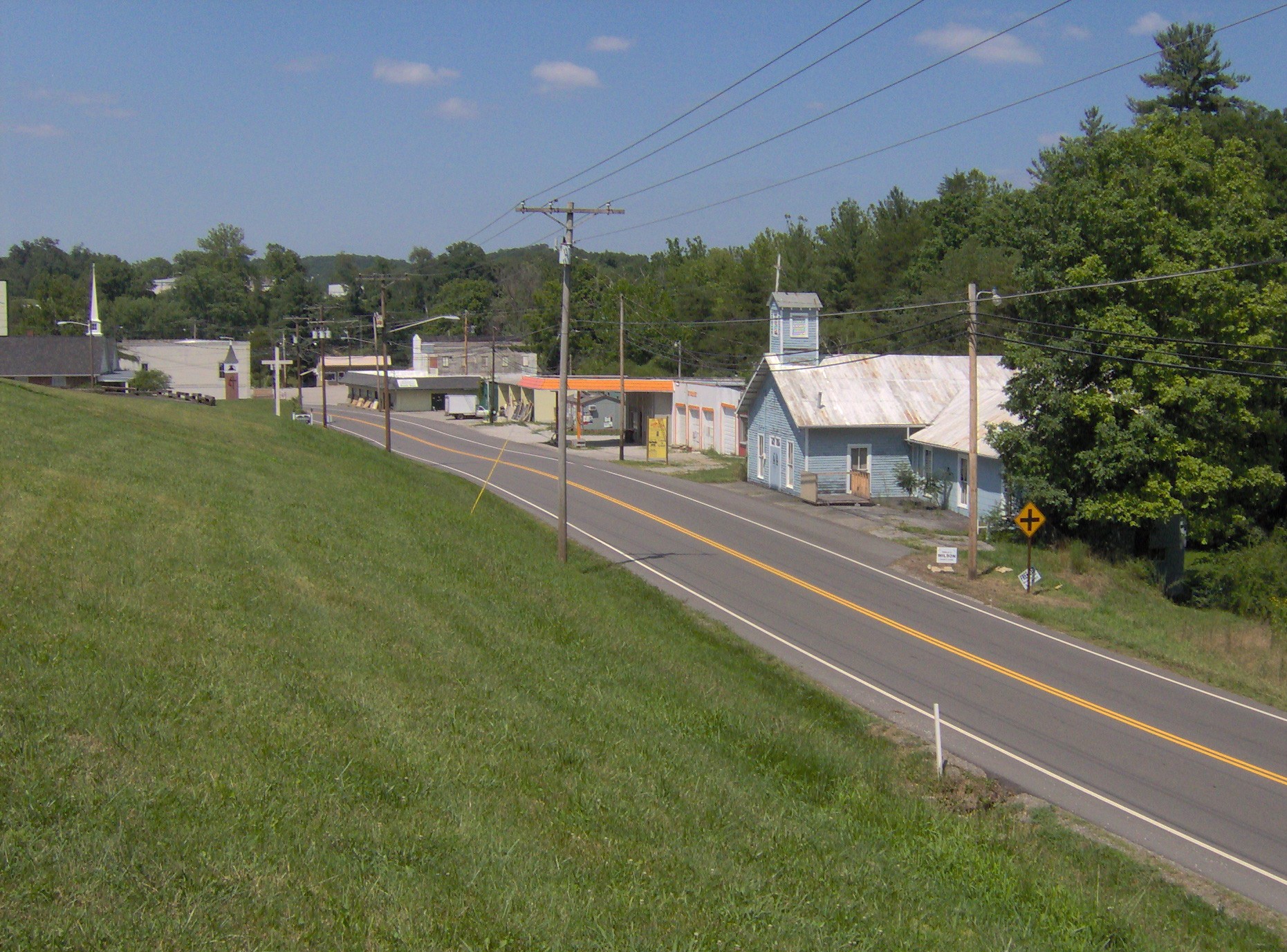
imagesize = 250px
image_caption = US-27 passing through Sunbright
image_
mapsize = 250px
map_caption = Location of Sunbright, Tennessee
mapsize1 =
map_caption1 =subdivision_type = Country
subdivision_name =United States
subdivision_type1 = State
subdivision_name1 =Tennessee
subdivision_type2 = County
subdivision_name2 = Morgangovernment_footnotes =
government_type =
leader_title =
leader_name =
leader_title1 =
leader_name1 =
established_title =
established_date =unit_pref = Imperial
area_footnotes =area_magnitude =
area_total_km2 = 9.8
area_land_km2 = 9.8
area_water_km2 = 0.0
area_total_sq_mi = 3.8
area_land_sq_mi = 3.8
area_water_sq_mi = 0.0population_as_of = 2000
population_footnotes =
population_total = 577
population_density_km2 = 58.6
population_density_sq_mi = 151.8timezone = Eastern (EST)
utc_offset = -5
timezone_DST = EDT
utc_offset_DST = -4
elevation_footnotes =
elevation_m = 400
elevation_ft = 1312
latd = 36 |latm = 14 |lats = 51 |latNS = N
longd = 84 |longm = 40 |longs = 22 |longEW = Wpostal_code_type =
ZIP code
postal_code = 37872
area_code = 423
blank_name = FIPS code
blank_info = 47-72140GR|2
blank1_name = GNIS feature ID
blank1_info = 1652468GR|3
website =
footnotes =Sunbright is a city in Morgan County,
Tennessee ,United States . The population was 577 at the 2000 census.Geography
Sunbright is located at coor dms|36|14|51|N|84|40|22|W|city (36.247369, -84.672692)GR|1. The city is situated atop the
Cumberland Plateau approximately convert|25|mi|km west of the plateau'sWalden Ridge escarpment. White Oak Creek, which drains Sunbright, is part of the upper watershed of theBig South Fork of the Cumberland River . The Big South Fork's watershed meets the watershed of theEmory River atop Pilot Mountain, immediately south of Sunbright. Sunbright is surrounded by low mountains and hills that comprise the fringe of theCumberland Mountains .Sunbright is centered along
U.S. Route 27 , which connects the city to Wartburg and Harriman to the south andHuntsville, Tennessee andLexington, Kentucky to the north. US-27 intersectsInterstate 40 approximately convert|25|mi|km south of Sunbright.According to the
United States Census Bureau , the city has a total area of 3.8square mile s (9.8km² ), all of it land.Demographics
As of the
census GR|2 of 2000, there were 577 people, 229 households, and 158 families residing in the city. Thepopulation density was 151.8 people per square mile (58.6/km²). There were 264 housing units at an average density of 69.4/sq mi (26.8/km²). The racial makeup of the city was 98.44% White, 0.17% Native American, 0.87% from other races, and 0.52% from two or more races. Hispanic or Latino of any race were 0.87% of the population.There were 229 households out of which 33.6% had children under the age of 18 living with them, 53.7% were married couples living together, 11.4% had a female householder with no husband present, and 30.6% were non-families. 25.3% of all households were made up of individuals and 10.5% had someone living alone who was 65 years of age or older. The average household size was 2.52 and the average family size was 3.06.
In the city the population was spread out with 26.3% under the age of 18, 9.2% from 18 to 24, 28.1% from 25 to 44, 24.8% from 45 to 64, and 11.6% who were 65 years of age or older. The median age was 35 years. For every 100 females there were 93.0 males. For every 100 females age 18 and over, there were 85.6 males.
The median income for a household in the city was $27,763, and the median income for a family was $31,094. Males had a median income of $28,000 versus $16,944 for females. The
per capita income for the city was $12,102. About 20.0% of families and 24.4% of the population were below thepoverty line , including 31.1% of those under age 18 and 27.0% of those age 65 or over.History
The Sunbright area was first settled in the early 1800s. It was originally known as "Pine Top", but was renamed "Stapleton" after the Staples family set up the town's first post office in the mid-1800s. When the railroad was constructed through the area in 1879, the Stapleton depot was named "Sunbright," and the name was eventually applied to the entire town. [Ethel Freytag and Glena Kreis Ott, "A History of Morgan County, Tennessee" (Wartburg, Tenn.: Specialty Print Co., 1971), 84-86.]
In 1916, an oil field was discovered in the hills immediately west of Sunbright, and the city thrived for several years as an oil shipping hub. ["The WPA Guide to Tennessee" (Knoxville: University of Tennessee Press, 1986), 361. Originally compiled by the Federal Writers' Project of the Works Project Administration as "Tennessee: A Guide to the State", and published in 1939.]
References
External links
Wikimedia Foundation. 2010.