- Glocester, Rhode Island
Infobox Settlement
official_name = Glocester, Rhode Island
settlement_type = Town
nickname =
motto =
imagesize =
image_caption =
image_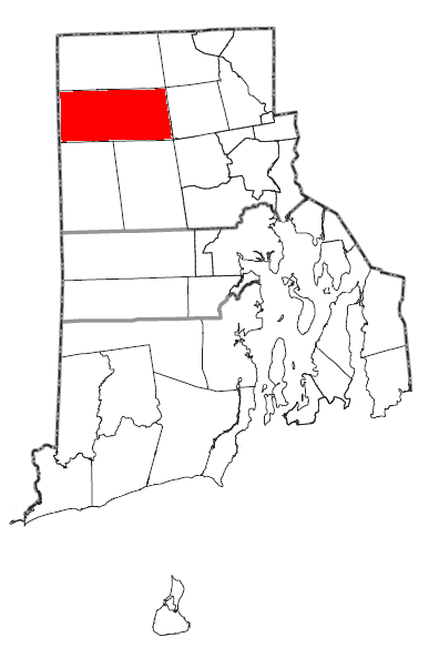
mapsize = 250px
map_caption = Location of Glocester in Rhode Island
mapsize1 =
map_caption1 =subdivision_type = Country
subdivision_name =United States
subdivision_type1 = State
subdivision_name1 =Rhode Island
subdivision_type2 = County
subdivision_name2 = Providencegovernment_footnotes =
government_type =
leader_title =
leader_name =
leader_title1 =
leader_name1 =
established_title =
established_date =unit_pref = Imperial
area_footnotes =area_magnitude =
area_total_km2 = 147.2
area_land_km2 = 142.0
area_water_km2 = 5.2
area_total_sq_mi = 56.8
area_land_sq_mi = 54.8
area_water_sq_mi = 2.0population_as_of = 2000
population_footnotes =
population_total = 9948
population_density_km2 = 70.1
population_density_sq_mi = 181.5timezone = Eastern (EST)
utc_offset = -5
timezone_DST = EDT
utc_offset_DST = -4
elevation_footnotes =
elevation_m = 139
elevation_ft = 456
latd = 41 |latm = 53 |lats = 27 |latNS = N
longd = 71 |longm = 41 |longs = 26 |longEW = Wpostal_code_type =
ZIP code s
postal_code = 02814, 02829, 02859
area_code = 401
blank_name = FIPS code
blank_info = 44-30340GR|2
blank1_name = GNIS feature ID
blank1_info = 1220070GR|3
website =
footnotes =Glocester is a town in Providence County,
Rhode Island ,United States . The population was 9,948 at the 2000 census. The villages of Chepachet and Harmony are in Glocester. Glocester was named forHenry Stuart, Duke of Gloucester Fact|date=February 2007 and was where theDorr Rebellion began. During theAmerican Revolution in 1776, Loyalists from Newport were exiled in Glocester to Stephen Keach's farm, including Thomas Vernon. [http://books.google.com/books?vid=OCLC09427697&id=clqxUiI0fKoC&pg=RA2-PA1&lpg=RA2-PA1&dq=%22thomas+vernon%22]Putnam Pike (U.S. Route 44 ) runs through the center of Glocester into Connecticut.Geography
According to the
United States Census Bureau , the town has a total area of 56.8square mile s (147.2km² ), of which, 54.8 square miles (142.0 km²) of it is land and 2.0 square miles (5.2 km²) of it (3.55%) is water.Demographics
As of the
census GR|2 of 2000, there were 9,948 people, 3,559 households, and 2,818 families residing in the town. Thepopulation density was 181.5 people per square mile (70.1/km²). There were 3,786 housing units at an average density of 69.1/sq mi (26.7/km²). The racial makeup of the town was 98.48% White, 0.34% African American, 0.15% Native American, 0.24% Asian, 0.10% from other races, and 0.68% from two or more races. Hispanic or Latino of any race were 0.65% of the population.There were 3,559 households out of which 38.0% had children under the age of 18 living with them, 66.4% were married couples living together, 8.6% had a female householder with no husband present, and 20.8% were non-families. 15.8% of all households were made up of individuals and 6.0% had someone living alone who was 65 years of age or older. The average household size was 2.80 and the average family size was 3.14.
In the town the population was spread out with 26.8% under the age of 18, 6.4% from 18 to 24, 31.6% from 25 to 44, 26.1% from 45 to 64, and 9.2% who were 65 years of age or older. The median age was 38 years. For every 100 females there were 100.0 males. For every 100 females age 18 and over, there were 95.6 males.
The median income for a household in the town was $57,537, and the median income for a family was $62,679. Males had a median income of $39,112 versus $29,071 for females. The
per capita income for the town was $22,914. About 3.4% of families and 4.4% of the population were below thepoverty line , including 6.4% of those under age 18 and 1.9% of those age 65 or over.Prominent residents
*
Arthur Steere , politician, businessman
*Charles J. Fogarty , politicianNational Historic Sites in Glocester
*
Chepachet Village Historic District
*Cherry Valley Archeological Site, RI-279
*Glocester Town Pound
*Harmony Chapel and Cemetery
*Manton-Hunt-Farnum Farm References
Wikimedia Foundation. 2010.