- Clarks Knob
-
Clarks Knob 
Clarks KnobElevation 2,316 ft (706 m) NAVD 88[1] Location Location of Clarks Knob
 Clarks Knob
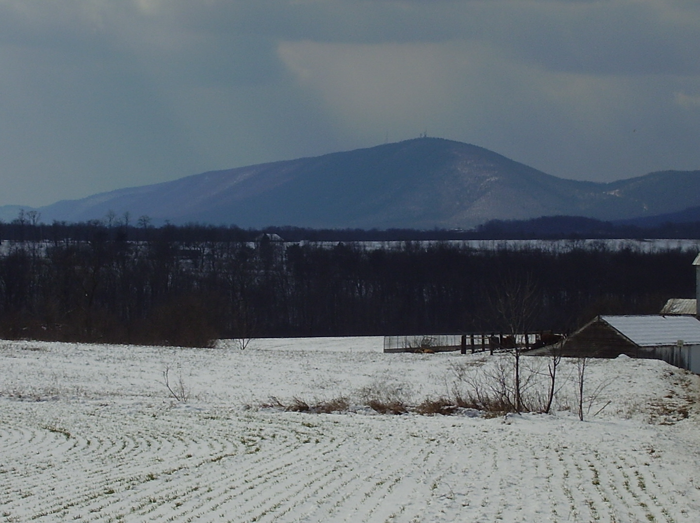
Location Franklin County, Pennsylvania, USA Range Blue Mountain [2] Coordinates 40°2′52″N 77°45′2″W / 40.04778°N 77.75056°WCoordinates: 40°2′52″N 77°45′2″W / 40.04778°N 77.75056°W[1] Topo map USGS Roxbury (PA) Quadrangle [2] Climbing Easiest route Drive up gravel road [1] Clarks Knob is a summit in Franklin County, Pennsylvania.[3] It is the highest point on Blue Mountain, the eastern front range of Pennsylvania's Ridge and Valley Appalachians region.[2]
Geography
Clarks Knob's northeast-southwest running summit ridge forms the boundary of the Susquehanna River and Potomac River drainages.[2] It stands over 1,600 feet (488 m) above the town of Chambersburg and the Great Appalachian Valley. This mountain is protected within the Buchanan State Forest.[2]
References
- ^ a b c "Clarks Knob". NGS data sheet. U.S. National Geodetic Survey. http://www.ngs.noaa.gov/cgi-bin/ds_mark.prl?PidBox=KW2889. Retrieved 2009-02-08.
- ^ a b c d e "Clarks Knob, Pennsylvania". Peakbagger.com. http://www.peakbagger.com/peak.aspx?pid=7566. Retrieved 2009-02-07.
- ^ "Clarks Knob". Geographic Names Information System, U.S. Geological Survey. http://geonames.usgs.gov/pls/gnispublic/f?p=gnispq:3:::NO::P3_FID:1192270. Retrieved 2009-02-08.
Categories:- Mountains of Pennsylvania
- Geography of Franklin County, Pennsylvania

Wikimedia Foundation. 2010.