- Oakland Hills, Oakland, California
-
"Oakland Hills" redirects here. For the site of many prestigious golf tournaments, see Oakland Hills Country Club.
Coordinates: 37°50′18.22″N 122°12′1.95″W / 37.8383944°N 122.2005417°W

Oakland Hills is an informal term used to indicate the city neighborhoods lying within the eastern portion of Oakland, California.[1]
Contents
Geography
The geologic feature
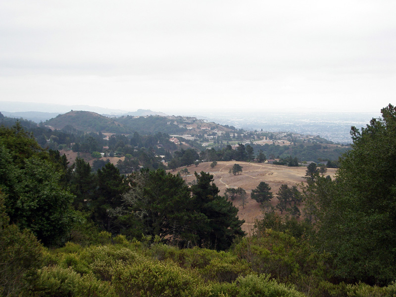
"Oakland Hills" is most commonly an informal name for that section of the Berkeley Hills range which extends along the eastern side of Oakland, California. In recent decades, it has become the more common popular term although it remains "officially" incorrect among geographers and gazetteers. Before the establishment of the University of California in Berkeley, the range was called the Contra Costa Hills.
To add confusion, the common usage often also includes another officially unnamed ridge which runs in front (west) of the Berkeley/"Oakland" Hills, as well as the linear valley enclosed between the two ridges in the Montclair District along State Route 13. This other ridge, a shutter ridge created by the Hayward Fault, lends its informal name, "Rockridge", only to the district of Oakland at its northwest end, although it extends southeast to the junction of Highway 13 and I-580 in East Oakland and includes most of the small residential community of Piedmont, California.
Oakland Hills Neighborhoods
The Oakland Hills neighborhoods comprise the highest elevations within the city's land area, following the alignment of the hills and the central section of the Hayward Fault Zone. The area includes all of Oakland lying east of State Route 13 and east of I-580 south of its junction with Route 13. The area includes Upper Rockridge, Oakmore, Montclair and Mountain View Cemetery. The Oakland Hills area touches the eastern border of Piedmont, California and includes a section of Claremont; the northern part of Claremont lies within the city of Berkeley. The Oakland Hills neighborhood area includes the northern section of Lake Chabot Regional Park and borders Robert Sibley Volcanic Regional Preserve, Huckleberry Botanic Regional Preserve, Redwood Regional Park and Anthony Chabot Regional Park; all part of the East Bay Regional Park District.
Neighborhoods

Northeast Hills
- Claremont (southern portion)
- Forestland
- Glen Highlands
- Hiller Highlands
- Joaquin Miller Park
- Lake Temescal
- Merriwood
- Montclair
- Montclair Business District
- Mountain View Cemetery
- Oakmore
- Panoramic Hill
- Piedmont Pines
- Shepherd Canyon
- Upper Rockridge
Southeast Hills
- Chabot Park
- Crestmont
- Sequoyah Heights
- Sheffield
- Skyline-Hillcrest Estates
- Caballo Hills
- Leona Heights
- Chabot Park
- Woodminster
Sociological composition
The Oakland Hills have historically less violent crime[2], higher household incomes, lower unemployment rates, higher home values, older population and fewer Black and Hispanic residents than the flatlands of Oakland.
Culture
Several popular cultural sites and events are located in the Oakland hills:
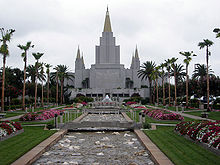
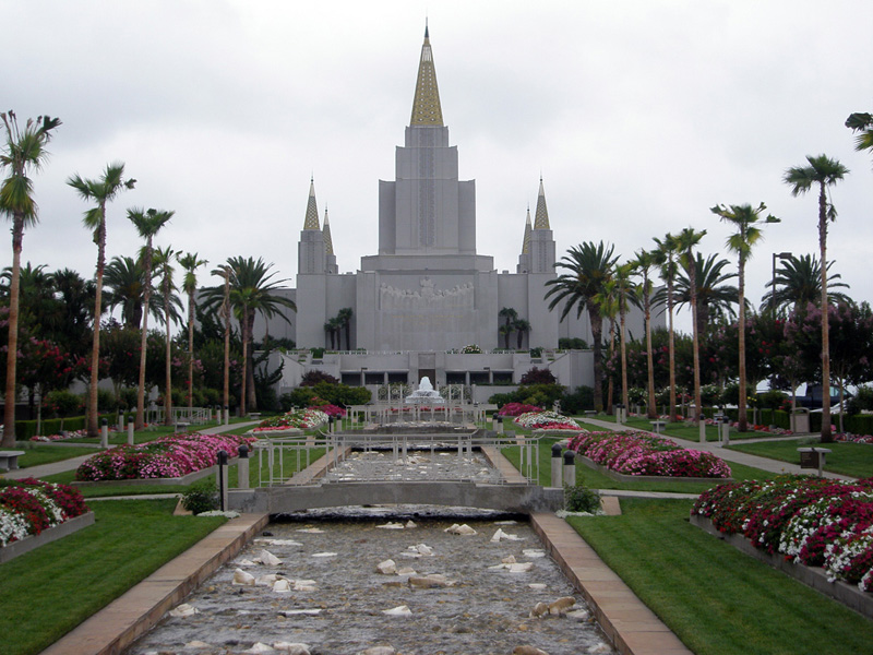
- Chabot Space and Science Center
- Woodminster Summer Musicals
- Montclair Jazz & Wine Festival
- Joseph Knowland State Arboretum and Park
- Oakland Zoo
References
- ^ Oakland City website. Wildfire Prevention District. Working together to assist home and property owners prevent urban wildfires in our Oakland Hills
- ^ a b Urban Strategies murder reports 2004-2005 JPG image
- ^ "Neighborhood Search Map". Oakland Museum of California. Archived from the original on 2009-04-30. http://web.archive.org/web/20090430211848/http://collections.museumca.org/search_map.jsp. Retrieved 2011-07-29.
Oakland, California neighborhoods Downtown / Lake Merritt East Oakland Dimond District · Eastmont · Elmhurst · Fruitvale · Glenview · Grass Valley · Havenscourt · Laurel · Millsmont · Maxwell Park · Peralta Hacienda · Redwood Heights · Ridgemont · San Antonio · Seminary · Sequoyah Heights · Sobrante Park
North Oakland Bushrod Park · Golden Gate · Koreatown · Longfellow · Piedmont Avenue · Rockridge · Santa Fe · Temescal
West Oakland Oakland Hills Claremont · Montclair · Piedmont Pines · Oakmore · Joaquin Miller Park · Mountain View Cemetery · Sequoyah Heights · Panoramic Hill
Categories:- Neighborhoods in Oakland, California
Wikimedia Foundation. 2010.