- Massachusetts Route 143
-
Route 143
Route information Length: 24.49 mi[1] (39.41 km) Existed: by 1933 (1930 as Route 109A) – present Major junctions West end:  Route 8 in Hinsdale
 Route 112 in Worthington
East end:  Route 9 in Williamsburg
Highway system Massachusetts State Highway Routes
←  Route 142
Route 145  →
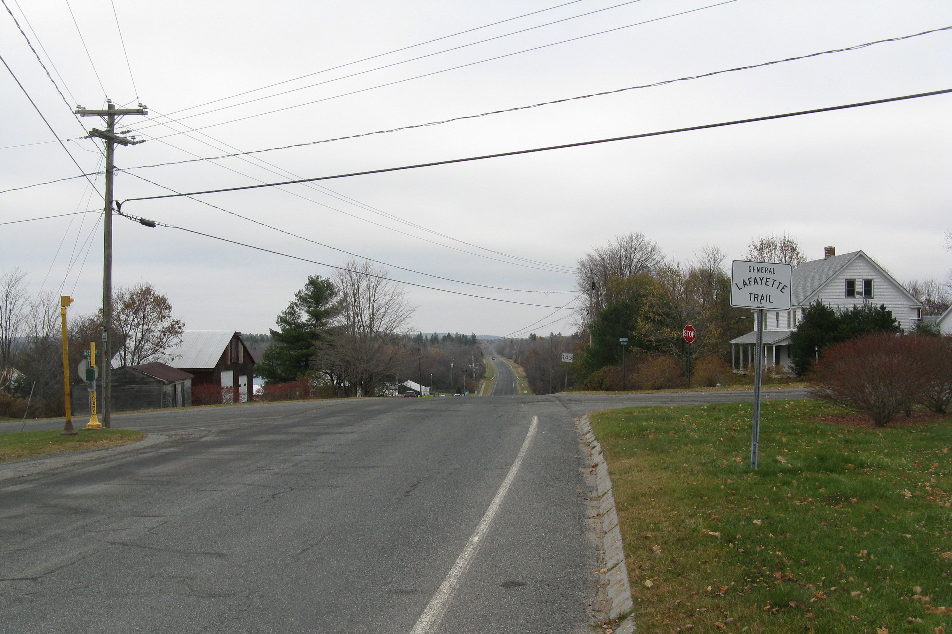
→Route 143 is a 24.5 mile, 39.4 kilometer west–east state highway in the U.S. state of Massachusetts. Its western terminus is at Route 8 in Hinsdale, at the town's center. Its eastern terminus is at Route 9 near the village of Searsville in Williamsburg. At Worthington, the highway runs concurrently with Route 112 for 0.8 miles (1.29 km), beginning at Worthington Corners. The road is also the only state route through the towns of Peru and Chesterfield, and also crosses the Westfield River in Chesterfield.
History

Route 143 was originally numbered Route 109A in 1930. The route was renumbered to 143 by 1933.[2]
References
- ^ Executive Office of Transportation, Office of Transportation Planning - 2007 Road Inventory
- ^ Neilbert.com Home:MA 109A
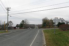

Eastbound in Peru Center Categories:- Numbered routes in Massachusetts
- Massachusetts road stubs

Wikimedia Foundation. 2010.