- Ménetreuil
-
Ménetreuil

 MénetreuilLocation within Burgundy region
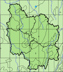 Ménetreuil
Administration Country France Region Burgundy Department Saône-et-Loire Arrondissement Louhans Canton Montpont-en-Bresse Statistics Elevation 174–203 m (571–666 ft)
(avg. 182 m/597 ft)Land area1 15.04 km2 (5.81 sq mi) Population2 355 (2006) - Density 24 /km2 (62 /sq mi) INSEE/Postal code 71293/ 71470 1 French Land Register data, which excludes lakes, ponds, glaciers > 1 km² (0.386 sq mi or 247 acres) and river estuaries. 2 Population without double counting: residents of multiple communes (e.g., students and military personnel) only counted once. Coordinates: 46°35′01″N 5°06′46″E / 46.5836111111°N 5.11277777778°E
Ménetreuil is a commune in the Saône-et-Loire department in the region of Bourgogne in eastern France.
Geography
The Sâne Morte forms most of the commune's northern border, flows southwestward through the western part of the commune, then flows into the Sâne Vive, which forms the commune's south-western border.
See also
References
Categories:- Communes of Saône-et-Loire
- Saône-et-Loire geography stubs


Wikimedia Foundation. 2010.