- Cortambert
-
Cortambert

 CortambertLocation within Burgundy region
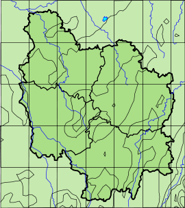 Cortambert
Administration Country France Region Burgundy Department Saône-et-Loire Arrondissement Mâcon Canton Cluny Intercommunality Clunisois Statistics Elevation 220–505 m (720–1,657 ft)
(avg. 336 m/1,102 ft)Land area1 16.02 km2 (6.19 sq mi) Population2 211 (2006) - Density 13 /km2 (34 /sq mi) INSEE/Postal code 71146/ 71250 1 French Land Register data, which excludes lakes, ponds, glaciers > 1 km² (0.386 sq mi or 247 acres) and river estuaries. 2 Population without double counting: residents of multiple communes (e.g., students and military personnel) only counted once. Coordinates: 46°28′45″N 4°42′54″E / 46.4791666667°N 4.715°E
Cortambert is a commune in the Saône-et-Loire department in the region of Bourgogne in eastern France.
Geography
The Grosne forms most of the commune's western border.
See also
References
Categories:- Communes of Saône-et-Loire
- Saône-et-Loire geography stubs


Wikimedia Foundation. 2010.