- Montrabot
-
Montrabot

 MontrabotLocation within Lower Normandy region
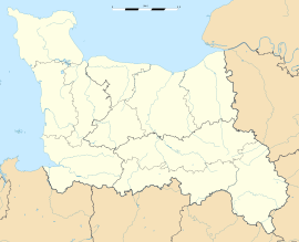 Montrabot
Administration Country France Region Lower Normandy Department Manche Arrondissement Saint-Lô Canton Torigni-sur-Vire Intercommunality Communauté de communes du canton de Torigni-sur-Vire Mayor Jean-Pierre Marie
(2008–2014)Statistics Elevation 77–191 m (253–627 ft)
(avg. 100 m/330 ft)Land area1 3.86 km2 (1.49 sq mi) Population2 84 (2006) - Density 22 /km2 (57 /sq mi) INSEE/Postal code 50351/ 50810 1 French Land Register data, which excludes lakes, ponds, glaciers > 1 km² (0.386 sq mi or 247 acres) and river estuaries. 2 Population without double counting: residents of multiple communes (e.g., students and military personnel) only counted once. Coordinates: 49°06′33″N 0°53′23″W / 49.1091666667°N 0.889722222222°W
Montrabot is a commune in the Manche department in Normandy in north-western France.
See also
Categories:- Communes of Manche
- Manche geography stubs


Wikimedia Foundation. 2010.