- Dommartin-la-Montagne
-
Dommartin-la-Montagne

 Dommartin-la-MontagneLocation within Lorraine region
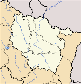 Dommartin-la-Montagne
Administration Country France Region Lorraine Department Meuse Arrondissement Arrondissement of Verdun Canton Canton of Fresnes-en-Woëvre Intercommunality Communauté de communes du Canton de Fresnes en Woëvre Mayor Serge Philippe
(2008–2014)Statistics Elevation 286–387 m (938–1,270 ft)
(avg. 290 m/950 ft)Land area1 6.77 km2 (2.61 sq mi) Population2 45 (1999) - Density 7 /km2 (18 /sq mi) INSEE/Postal code 55157/ 55160 1 French Land Register data, which excludes lakes, ponds, glaciers > 1 km² (0.386 sq mi or 247 acres) and river estuaries. 2 Population without double counting: residents of multiple communes (e.g., students and military personnel) only counted once. Coordinates: 49°01′56″N 5°36′32″E / 49.0322222222°N 5.60888888889°E
Dommartin-la-Montagne is a commune in the Meuse department in Lorraine in north-eastern France.
The village is located in a steep sided valley. During World War I the village was behind the German lines. In the battle of Les Éparges the village was completely destroyed except for one house next to the stream which runs through the village. The village was finally occupied by the French after help arrived from the Americans. The village was rebuilt after the war.
The village is centred around a single street. A small lane leads up towards the church then up onto farmland.
See also
- Communes of the Meuse department
- Parc naturel régional de Lorraine
Categories:- Communes of Meuse
- Meuse geography stubs


Wikimedia Foundation. 2010.