- Les Hauts-de-Chée
-
Les Hauts-de-Chée

 Les Hauts-de-ChéeLocation within Lorraine region
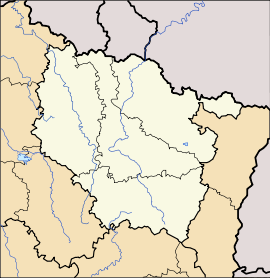 Les Hauts-de-Chée
Administration Country France Region Lorraine Department Meuse Arrondissement Arrondissement of Bar-le-Duc Canton Canton of Vaubecourt Intercommunality Communauté de communes de Triaucourt Vaubecourt Mayor Reine Varinot
(2008–2014)Statistics Elevation 184–301 m (604–988 ft)
(avg. 213 m/699 ft)Land area1 50.17 km2 (19.37 sq mi) Population2 759 (1999) - Density 15 /km2 (39 /sq mi) INSEE/Postal code 55123/ 55000 1 French Land Register data, which excludes lakes, ponds, glaciers > 1 km² (0.386 sq mi or 247 acres) and river estuaries. 2 Population without double counting: residents of multiple communes (e.g., students and military personnel) only counted once. Coordinates: 48°52′05″N 5°10′03″E / 48.8680555556°N 5.1675°E
Les Hauts-de-Chée is a commune in the Meuse department in Lorraine in north-eastern France.
The former towns of Génicourt-sous-Condé, Hargeville-sur-Chée, Louppy-sur-Chée (Loppy-le-Petit) and Les Marats (Marat-la-Grande, Marat-la-Petite) were joined to Condé-en-Barrois on 20 June 1972, which subsequently changed its name to Les Hauts-de-Chée on 1 July 1972.
Geography
The river Chée rises in the eastern part of the commune, then flows westward through the middle of the commune, crossing through several villages and hamlets.
See also
Categories:- Communes of Meuse
- Meuse geography stubs


Wikimedia Foundation. 2010.