- Marville, Meuse
-
Marville

 MarvilleLocation within Lorraine region
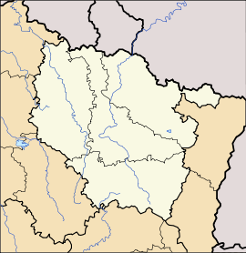 Marville
Administration Country France Region Lorraine Department Meuse Arrondissement Verdun Canton Montmédy Intercommunality Communauté de communes du pays de Montmédy Mayor Claude Biwer
(2008–2014)Statistics Elevation 197–313 m (646–1,027 ft)
(avg. 272 m/892 ft)Land area1 19.55 km2 (7.55 sq mi) Population2 532 (1999) - Density 27 /km2 (70 /sq mi) INSEE/Postal code 55324/ 55600 1 French Land Register data, which excludes lakes, ponds, glaciers > 1 km² (0.386 sq mi or 247 acres) and river estuaries. 2 Population without double counting: residents of multiple communes (e.g., students and military personnel) only counted once. Coordinates: 49°27′10″N 5°27′24″E / 49.4527777778°N 5.45666666667°E
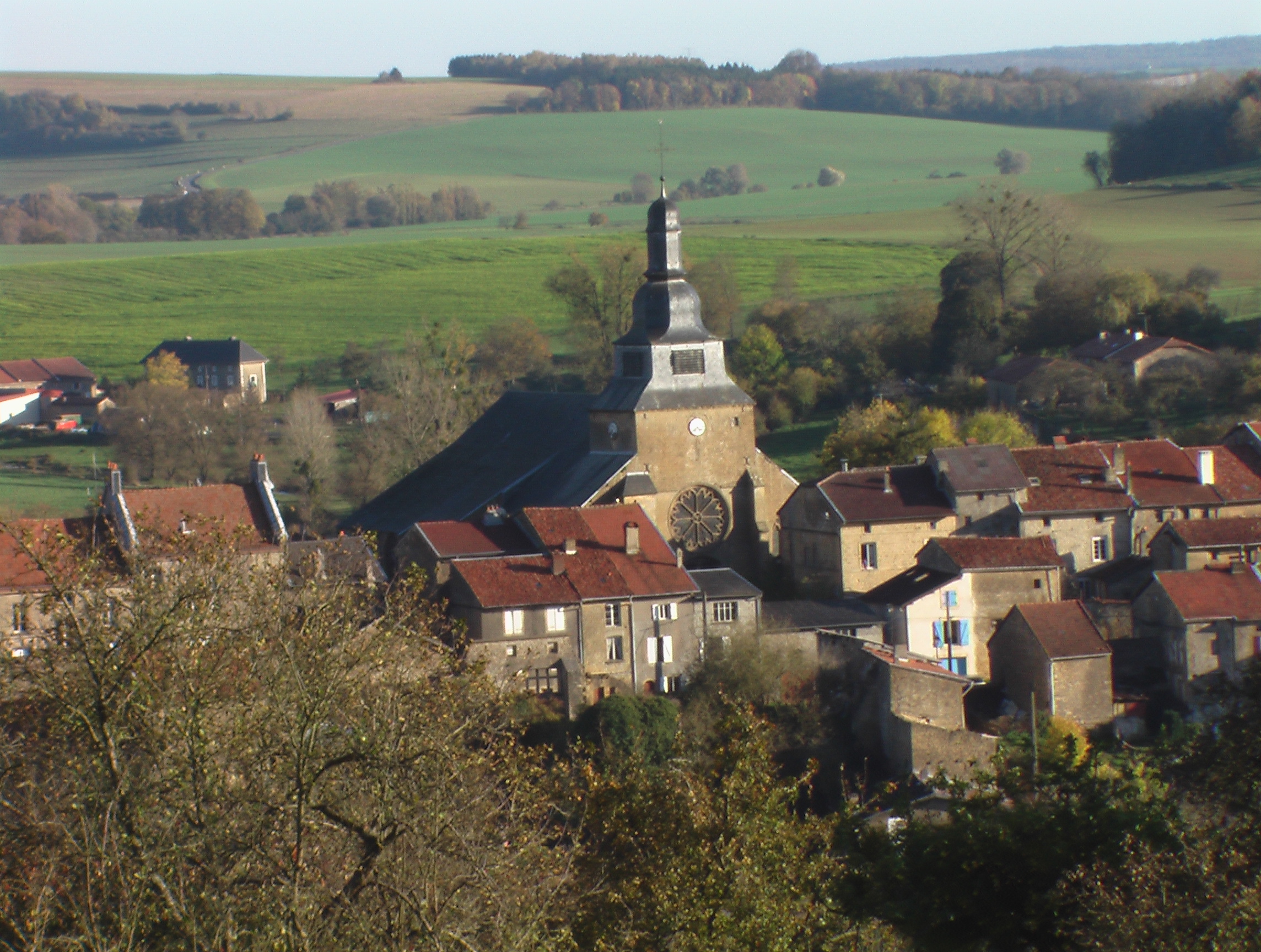
Marville is a commune in the Meuse department in Lorraine in north-eastern France.
 Marville
An airbase built by NATO hosted fighter squadrons from the RCAF from 1952 to 1967.
Geography
The village lies on the left bank of the Othain, which forms most of the commune's eastern border.
See also
Categories:- Communes of Meuse
- Meuse geography stubs


Wikimedia Foundation. 2010.