- Gore Creek (Colorado)
-
Gore Creek[1] Origin 39°36′29″N 106°11′43″W / 39.60806°N 106.19528°W Mouth Confluence with Eagle
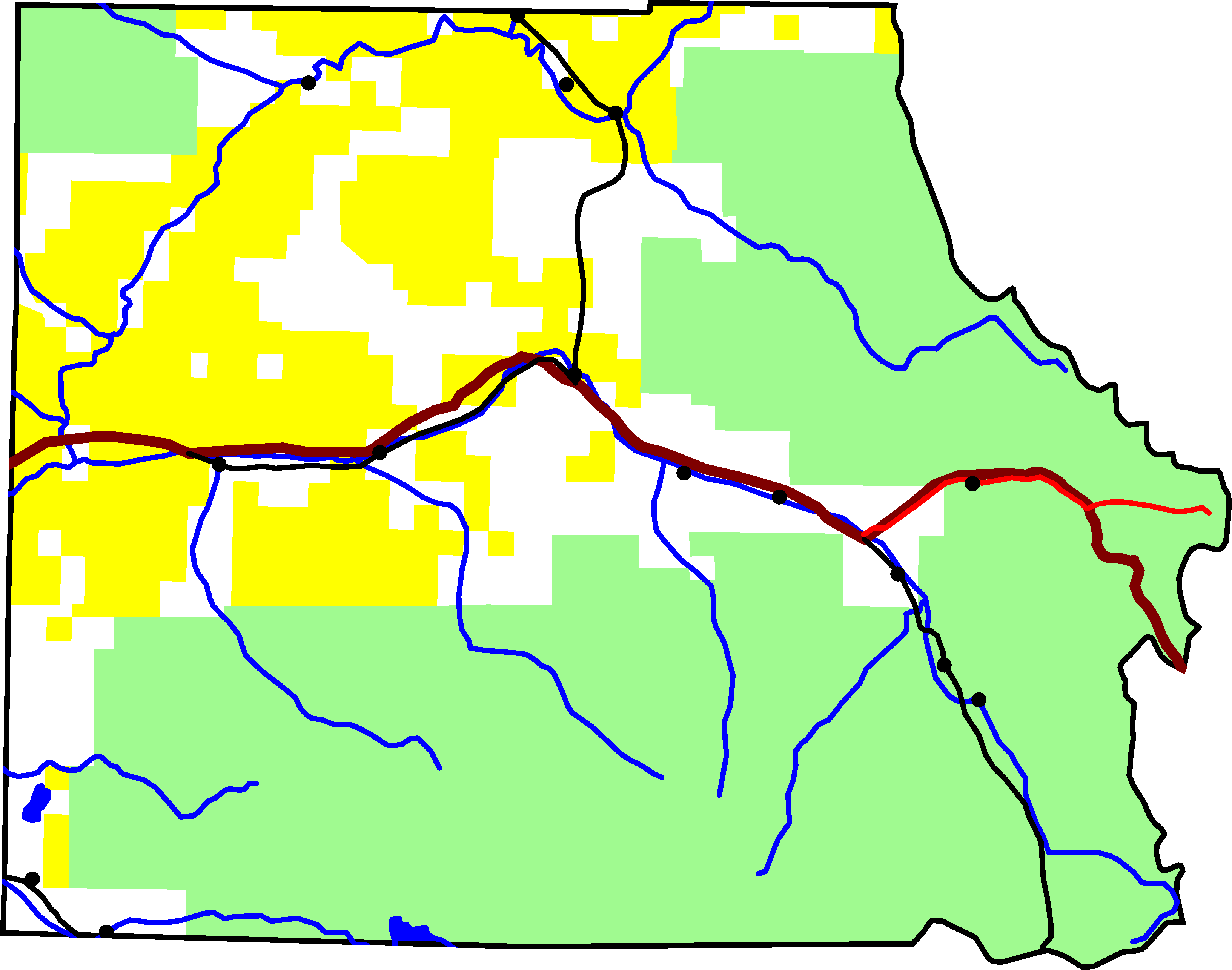
39°36′32″N 106°26′57″W / 39.60889°N 106.44917°WCoordinates: 39°36′32″N 106°26′57″W / 39.60889°N 106.44917°WProgression Eagle—Colorado Mouth elevation 7,713 ft (2,351 m) 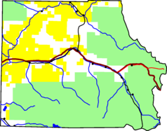 Eagle County, with Gore Creek in red
Gore Creek is a tributary of the Eagle River, approximately 18.5 miles (29.8 km) long, in Eagle County in central Colorado in the United States. It drains an area of the Rocky Mountains at the south end of the Gore Range through Vail Valley. It rises on the Eagle County-Summit County border along the high crest of the Gore Range, in the White River National Forest, approximately 4 miles (6 km) north of Vail Pass. It descends to the west through a narrow gorge, receiving Black Gore Creek from the south. Downstream of this confluence, it run alongside the route of U.S. Highway 6 (built in 1940) and Interstate 70. It flows through Vail and joins the Eagle River from the east, approximately 3 miles (5 km) west of Vail.[2][1]
References
- ^ a b "Gore Creek". Geographic Names Information System, U.S. Geological Survey. http://geonames.usgs.gov/pls/gnispublic/f?p=gnispq:3:::NO::P3_FID:176187. Retrieved 2011-01-28.
- ^ U.S. Geological Survey. National Hydrography Dataset high-resolution flowline data. The National Map, accessed March 18, 2011
See also
- List of rivers of Colorado
- List of tributaries of the Colorado River
Categories:- Geography of Eagle County, Colorado
- Rivers of Colorado
- Tributaries of the Colorado River in Colorado
Wikimedia Foundation. 2010.