- Crawford Township, Crawford County, Kansas
-
Crawford Township — Township — Location in Crawford County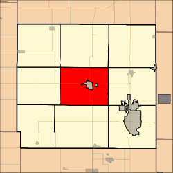
Coordinates: 37°31′32″N 094°50′03″W / 37.52556°N 94.83417°WCoordinates: 37°31′32″N 094°50′03″W / 37.52556°N 94.83417°W Country United States State Kansas County Crawford Area – Total 61.62 sq mi (159.58 km2) – Land 61.56 sq mi (159.45 km2) – Water 0.05 sq mi (0.14 km2) 0.09% Elevation 984 ft (300 m) Population (2010) – Total 928 – Density 15.1/sq mi (5.8/km2) GNIS feature ID 0469730 Crawford Township is a township in Crawford County, Kansas, USA. As of the 2010 census, its population was 928.[1]
Contents
Geography
Crawford Township covers an area of 61.62 square miles (159.6 km2) surrounding the city of Girard. According to the USGS, it contains one cemetery, Girard.
The streams of Clear Creek and Elm Creek run through this township.
Transportation
Crawford Township contains one airport or landing strip, Harport Landing Field.
References
- ^ "Race, Hispanic or Latino, Age, and Housing Occupancy: 2010 Census Redistricting Data (Public Law 94-171) Summary File (QT-PL), Crawford township, Crawford County, Kansas". U.S. Census Bureau, American FactFinder 2. http://factfinder2.census.gov. Retrieved October 28, 2011.
External links
Municipalities and communities of Crawford County, Kansas Cities 
Townships Unincorporated
communitiesCategories:- Townships in Crawford County, Kansas
- Southeast Kansas geography stubs

Wikimedia Foundation. 2010.